
Steubenville in Jefferson County, Ohio — The American Midwest (Great Lakes)
First Federal Land Office
Photographed by Mark Parker, July 14, 2026
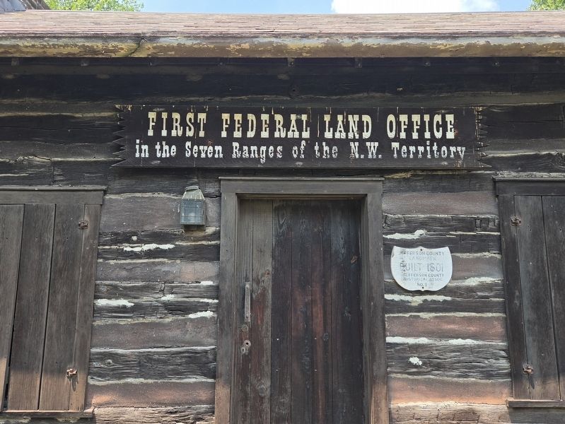
1. First Federal Land Office Marker
In the Seven Ranges of the N.W. Territory
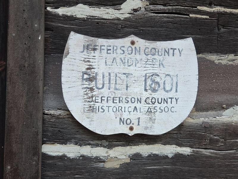
Jefferson County Landmark
Built 1801
Jefferson County
Historical Assoc.
Topics. This historical marker is listed in these topic lists: Government & Politics • Landmarks • Notable Buildings • Settlements & Settlers. A significant historical year for this entry is 1801.
Location. 40° 21.489′ N, 80° 36.842′ W. Marker is in Steubenville, Ohio, in Jefferson County. It can be reached from South 3rd Street north of Adams Street, on the right when traveling north. The upper sign is attached above the entrance. Touch for map. Marker is at or near this postal address: 120 S 3rd St, Steubenville OH 43952, United States of America. Touch for directions.

Regionally, this marker is in Ohio’s High Valley. It is also in the American Midwest, in the Ohio River Valley, in Appalachia, and specifically in Northern Appalachia. Globally, it is in North America, the Western Hemisphere, the Western World, and the Anglosphere. Historically, it finds itself in what was once the Viceroyalty of New France, the Haudenosaunee (Iroquois) Confederacy,
this page online
Other nearby markers. At least 8 other markers are within walking distance of this marker: This Old Federal Land Office (a few steps from this marker); Federal Land Office (within shouting distance of this marker); South-West Corner of Fort Steuben (within shouting distance of this marker); North-West Corner of Fort Steuben (within shouting distance of this marker); Fort Steuben (within shouting distance of this marker); Steubenville's Dean Martin (within shouting distance of this marker); Veterans Memorial (about 400 feet away, measured in a direct line); Secretary of War Edwin M. Stanton (about 600 feet away). Touch for a list and map of all markers in Steubenville.
Related markers. Click here for a list of markers that are related to this marker.
Photographed by Mark Parker, July 14, 2026
2. Jefferson County Landmark marker
Credits. This page was last revised on August 15, 2026. It was originally submitted on August 5, 2026, by Mark Parker of Hickory, North Carolina. This page has been viewed 11 times since then. Photos: 1, 2. submitted on August 5, 2026, by Mark Parker of Hickory, North Carolina. • Devry Becker Jones was the editor who published this page.
