Oakham in Rutland, England, United Kingdom — Northwestern Europe (the British Isles)
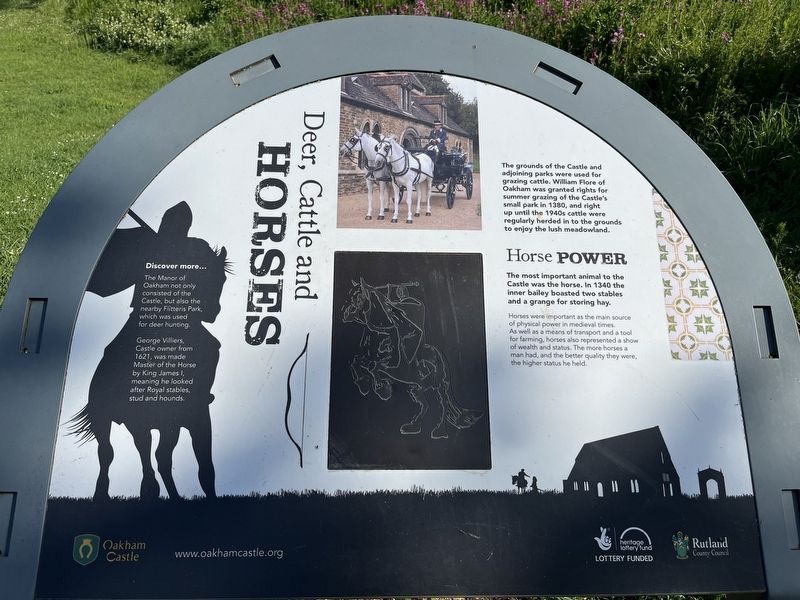
Deer, Cattle, and Horses
Photographed by Ray Gurganus, May 5, 2026
1. Deer, Cattle, and Horses Marker
Horse Power
The most important animal to the Castle was the horse. In 1340 the inner bailey boasted two stables and a grange for storing hay.
Horses were important as the main source of physical power in medieval times. As well as a means of transport and a tool for farming, horses also represented a show of wealth and status. The more horses a man had, and the better quality they were, the higher status he held.
Discover more...
The Manor of Oakham not only consisted of the Castle, but also the nearby Flitteris Park, which was used for deer hunting.
George Villiers, Castle owner from 1621, was made Master of the Horse by King James I, meaning he looked after Royal stables, stud and hounds.
Erected by Rutland County Council.
Topics. This historical marker is listed in these topic lists: Animals • Forts and Castles. A significant historical year for this entry is 1380.
Location. 52° 40.273′ N,
this page online

Regionally, this marker is in the Midlands. Globally, it is on the Atlantic Ocean, in the North Atlantic Region, in Europe, in Atlantic Europe, on one of the British Isles, in the Western World, and in the Anglosphere. Historically, it finds itself in what was once the Roman Empire.
Other nearby markers. At least 8 other markers are within 16 kilometers of this marker, measured as the crow flies: Conquest & Castles (about 90 meters away, measured in a direct line); Ancient Customs (about 90 meters away); Fit for a King (about 120 meters away); Oakham Castle (about 150 meters away); Friends Meeting House - Oakham (approx. 0.4 kilometers away); Hudson's Cottage (approx. 0.4 kilometers away); The Medieval Garden King Street (approx. 15 kilometers away); King Street (approx. 15 kilometers away). Touch for a list and map of all markers in Oakham.
Photographed by Ray Gurganus, May 5, 2026
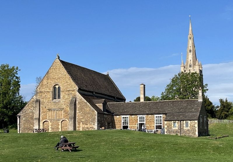
2. Oakham Castle Great Hall
Credits. This page was last revised on August 5, 2026. It was originally submitted on August 5, 2026, by Ray Gurganus of Washington, District of Columbia. This page has been viewed 9 times since then. Photos: 1, 2. submitted on August 5, 2026, by Ray Gurganus of Washington, District of Columbia. • Andrew Ruppenstein was the editor who published this page.
