Two Rivers in Guelph in Wellington County, Ontario — Central Canada (North America)
Allan’s Mill
Photographed by Tim Boyd, July 24, 2026
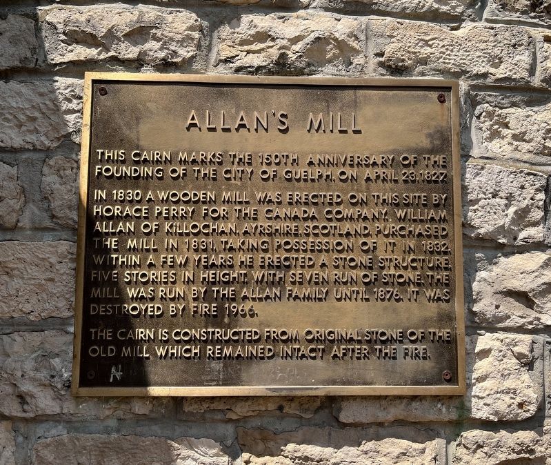
1. Allan’s Mill Marker
In 1830 a wooden mill was erected on this site by Horace Perry for the Canada Company. William Allan of Killochan, Ayrshire, Scotland, purchased the mill in 1831, taking possession of it in 1832. Within a few years he erected a stone structure, five stories in height with seven run of stone. The mill was run by the Allan family until 1876. It was destroyed by fire 1966.
The cairn is constructed from original stone of the old mill which remained intact after the fire.
Topics. This historical marker is listed in these topic lists: Industry & Commerce • Settlements & Settlers. A significant historical year for this entry is 1827.
Location. 43° 32.808′ N, 80° 14.598′ W. Marker is in Guelph, Ontario, in Wellington County. It is in Two Rivers. It is at the intersection of Wellington Street East and MacDonell Street, on the right when traveling east on Wellington Street East. The marker is in Heritage Park, accessible on the Downtown Trail entered from Wellington Street or MacDonnell Street. Touch for map. Marker
this page online

Regionally, this marker is in the Huron-Perth-Waterloo-Wellington Area and in Southwestern Ontario. It is also in Central Canada. Globally, it is in North America, the Western Hemisphere, the Western World, and the Anglosphere. Historically, it finds itself in what was once a British colony, the Viceroyalty of New France, the Haudenosaunee (Iroquois) Confederacy, and Rupert’s Land.
Other nearby markers. At least 8 other markers are within walking distance of this marker: The Founding of Guelph (about 150 meters away, measured in a direct line); The Blacksmith Fountain (about 210 meters away); District of Wellington Courthouse - 1842-44 (approx. 0.4 kilometers away); Wellington County Courthouse (approx. 0.4 kilometers away); County Jail & Governor’s Residence (approx. 0.4 kilometers away); Governor’s Residence (approx. 0.4 kilometers away); Former Residence Governor of the County Gaol (approx. 0.4 kilometers away); Heffernan Street Footbridge (approx. 0.4 kilometers away). Touch for a list and map of all markers
Photographed by Tim Boyd, July 24, 2026
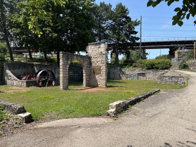
2. Allan’s Mill Marker
Facing north towards MacDonnell Street
Photographed by Tim Boyd, July 24, 2026
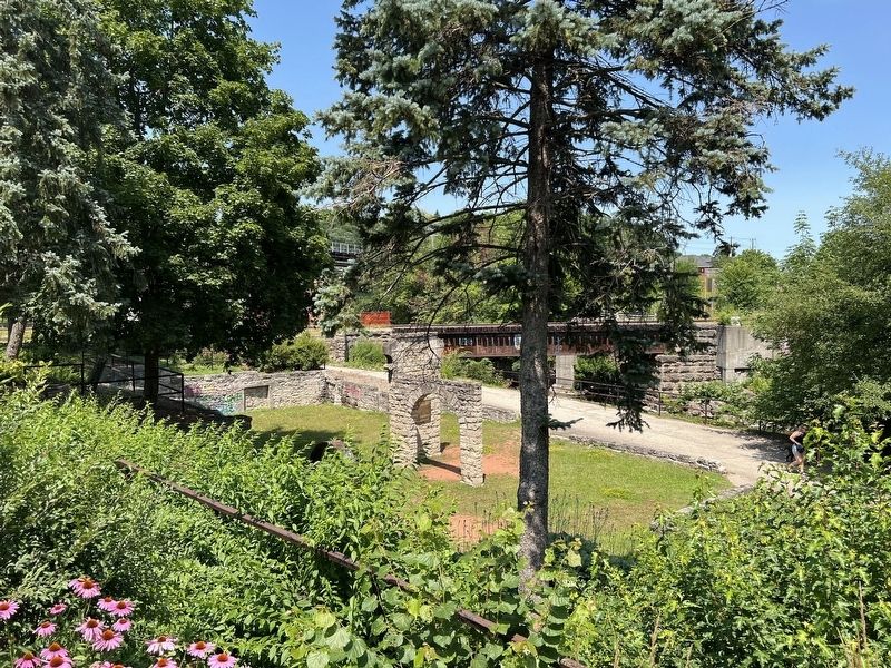
3. Allan’s Mill Marker
From Wellington Street
Credits. This page was last revised on August 5, 2026. It was originally submitted on August 5, 2026, by Tim Boyd of Hamilton, Ontario. This page has been viewed 6 times since then. Photos: 1, 2, 3. submitted on August 5, 2026, by Tim Boyd of Hamilton, Ontario. • Andrew Ruppenstein was the editor who published this page.
