Mount Washington in Bullitt County, Kentucky — The American South (East South Central)
Maccabee Hall
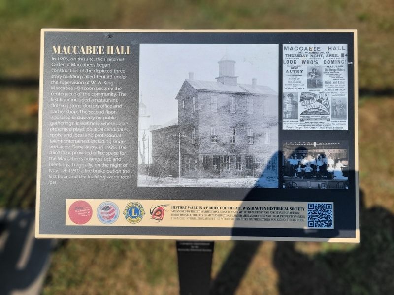
Photographed by Kevin W., August 28, 2024
1. Maccabee Hall Marker
Erected by Mt. Washington Historical Society. (Marker Number 8.)
Topics. This historical marker is listed in these topic lists: Fraternal or Sororal Organizations • Industry & Commerce. A significant historical year for this entry is 1906.
Location. 38° 2.889′ N, 85° 32.48′ W. Marker is in Mount Washington, Kentucky, in Bullitt County. It is on South Bardstown Road just east of Kentucky Highway
this page online

Regionally, this marker is in Greater Louisville Area. It is also in the American South, specifically in the Upper South, and in the Ohio River Valley. Globally, it is in North America, the Western Hemisphere, the Western World, and the Anglosphere. Historically, it finds itself in what was once the territory of the Mississippian Culture and also the Antebellum South.
Other nearby markers. At least 8 other markers are within 8 miles of this marker, measured as the crow flies: Cyclone Store (a few steps from this marker); James M. Lloyd House (about 400 feet away, measured in a direct line); Bridwell Cabin (approx. 0.2 miles away); Mile Stones, ca. 1835 (approx. ¼ mile away); Cedar Creek Baptist Church (approx. 6.4 miles away); Jefferson County (Kentucky) Korean War Memorial (approx. 6.6 miles away); Pennsylvania Run Presbyterian Church and Cemetery (approx. 7.2 miles away); Fern Creek High School (approx. 8 miles away). Touch for a list and map
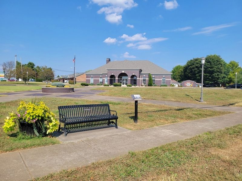
Photographed by Kevin W., August 28, 2024
2. Maccabee Hall Marker
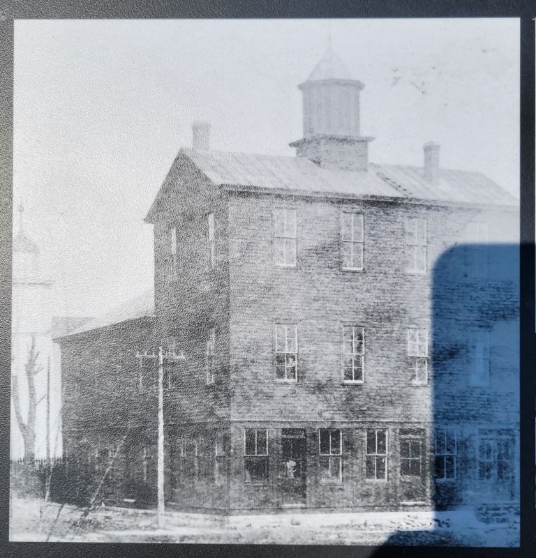
Photographed by Kevin W., August 28, 2024
3. Photo of Maccabee Hall from the Marker
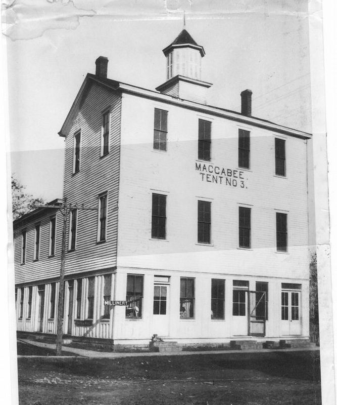
Photographed by Kevin W.
4. Photo of Maccabee Hall from the Mt. Washington Historical Society
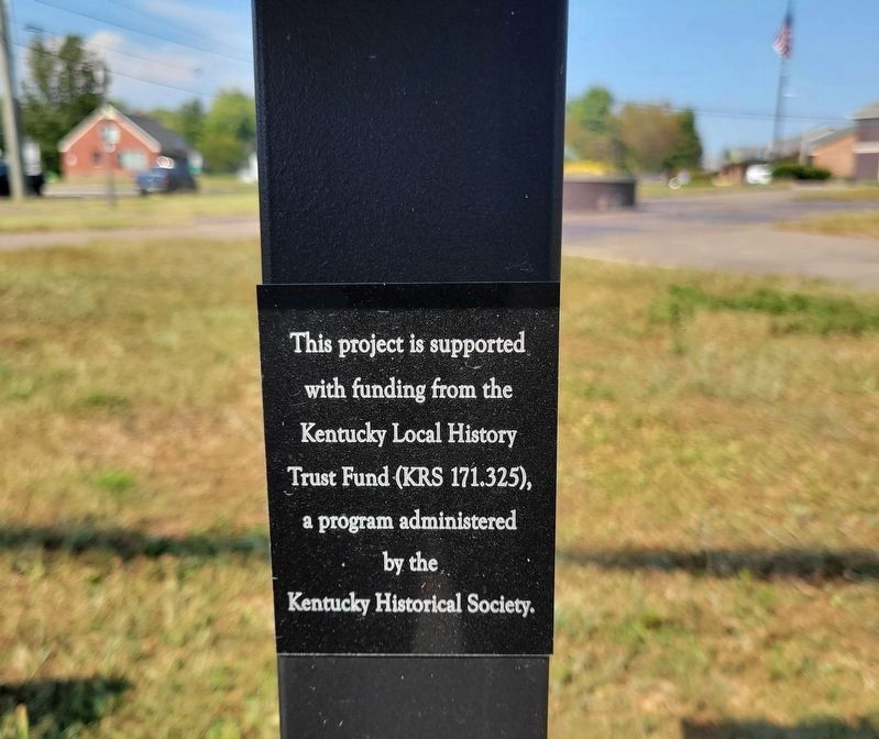
Photographed by Kevin W., August 28, 2024
5. Maccabee Hall Marker
This project is supported with funding the Kentucky Local History Trust Fund (KRS 171.325), a program administrated by the Kentucky Historical Society.
Credits. This page was last revised on August 5, 2026. It was originally submitted on August 5, 2026, by Kevin W. of Stafford, Virginia. This page has been viewed 8 times since then. Photos: 1, 2, 3, 4, 5. submitted on August 5, 2026, by Kevin W. of Stafford, Virginia.
