Doss in Gillespie County, Texas — The American South (West South Central)
Doss School
Photographed by Jeff Leichsenring, August 3, 2026
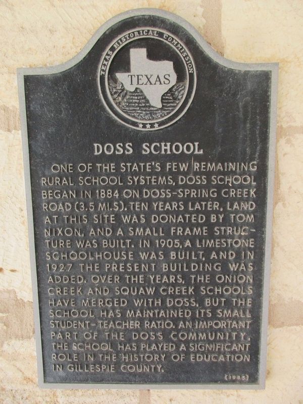
1. Doss School Marker
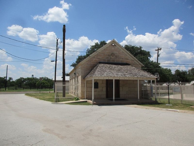
One of the state's few remaining rural school systems, Doss School began in 1884 on Doss-Spring Creek Road (3.5 mi. S). Ten years later, land at this site was donated by Tom Nixon, and a small frame structure was built. In 1905, a limestone schoolhouse was built, and in 1927 the present building was added. Over the years, the Onion Creek and Squaw Creek schools have merged with Doss, but the school has maintained its small student-teacher ratio. An important part of the Doss community, the school has played a significant role in the history of education in Gillespie County.
Erected 1985 by Texas Historical Commission. (Marker Number 10030.)
Topics. This historical marker is listed in this topic list: Education. A significant historical year for this entry is 1884.
Location. 30° 26.65′ N, 99° 7.82′ W. Marker is in Doss, Texas, in Gillespie County. It is at the intersection of Ranch to Market Road 783 and Ranch to Market Road 648, on the left when traveling south on Road 783. Touch for map. Marker is at or near this postal address: 14174 RR 783, Doss TX 78618, United States of America. Touch for directions.

Regionally,
this page online
Other nearby markers. At least 8 other markers are within 10 miles of this marker, measured as the crow flies: St. Peter Lutheran Church (within shouting distance of this marker); Squaw Creek Primitive Baptist Church (approx. 0.6 miles away); Lange's Mill (approx. 2.3 miles away); John O. Meusebach (approx. 7.8 miles away); The Marschall - Meusebach Cemetery (approx. 8.4 miles away); Diedrich Rode Complex (approx. 9.1 miles away); Christ Evangelical Lutheran Church (approx. 9.1 miles away); Old Cherry Spring School (approx. 9.3 miles away). Touch for a list and map of all markers in Doss.
Photographed by Jeff Leichsenring, August 3, 2026
2. Doss School Marker
Credits. This page was last revised on August 7, 2026. It was originally submitted on August 5, 2026, by Jeff Leichsenring of Garland, Texas. This page has been viewed 23 times since then. Photos: 1, 2. submitted on August 5, 2026, by Jeff Leichsenring of Garland, Texas. • James Hulse was the editor who published this page.
