Paisley in Arran-Elderslie in Bruce County, Ontario — Central Canada (North America)
Simon Orchard - First Settler of Paisley
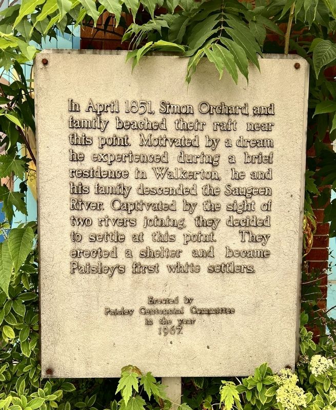
Photographed by Tim Boyd, July 16, 2026
1. Simon Orchard- First Settler of Paisley Marker
Erected 1967 by Paisley Centennial Committee.
Topics. This historical marker is listed in this topic list: Settlements & Settlers. A significant historical year for this entry is 1851.
Location. 44° 18.43′ N, 81° 16.409′ W. Marker is in Arran-Elderslie, Ontario, in Bruce County. It is in Paisley. It is on Queen Street North (Bruce County Road 3) 0.1 kilometers Church Street, on the right when traveling south. Touch for map. Marker is at or near this postal address: 274 Bruce County Rd 3, Arran-Elderslie ON N0G 2N0, Canada. Touch for directions.

Regionally, this marker is in Georgian Bay Country and in Southwestern Ontario. It is also in Central Canada. Globally, it is in North America, on the Great Lakes, in the Western Hemisphere, in the Western World,
this page online
Other nearby markers. At least 8 other markers are within walking distance of this marker: Historic Frame Building (here, next to this marker); Samuel Thomas Rowe (here, next to this marker); The Elliot Block (within shouting distance of this marker); Fisher Mill Property (about 120 meters away, measured in a direct line); The Founding of Paisley (about 120 meters away); Site of Rowe’s Tavern (about 120 meters away); Pump House / Hose Tower (about 150 meters away); The Foundry Chimney (approx. 0.3 kilometers away). Touch for a list and map of all markers in Arran-Elderslie.
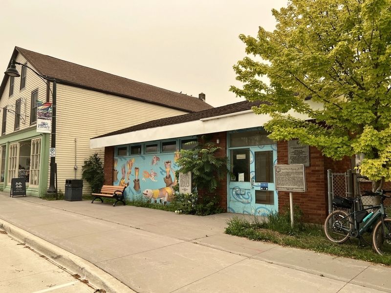
Photographed by Tim Boyd, July 16, 2026
2. Simon Orchard- First Settler of Paisley Marker
Centre of photo
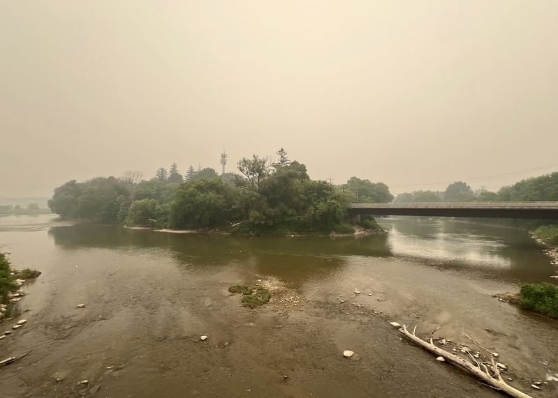
Photographed by Tim Boyd, July 16, 2025
3. The joining of the Saugeen and the Teeswater River in Paisley, 2026
Credits. This page was last revised on August 6, 2026. It was originally submitted on August 6, 2026, by Tim Boyd of Hamilton, Ontario. This page has been viewed 8 times since then. Photos: 1, 2, 3. submitted on August 6, 2026, by Tim Boyd of Hamilton, Ontario. • Andrew Ruppenstein was the editor who published this page.
