Hopewell in Mercer County, New Jersey — The American Northeast (Mid-Atlantic)
Mount Rose The Landform
| — | Lawrence Hopewell Trail | — |
Photographed by Richard Peterson, August 6, 2026
1. Mount Rose The Landform Marker
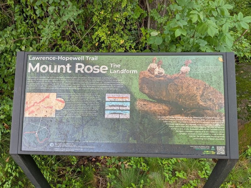
Perhaps you noticed, the going has been a little tougher and hillier along this section of the LHT. From this point, winding eastward to the Province Line, the trail traverses the rocky southern flank of an upland landform known as the Mount Rose Ridge. Named for the crossroads hamlet just up the road from here, the ridge runs east-west from Rocky Hill and Kingston, passing north of Princeton and terminating just west of Hopewell Borough. The settlement of Mount Rose took root in the 1820s with the establishment of a pair of stores and a schoolhouse, soon after acquiring its name from the fine roses grown by a local gardener.
Geologically, the Mount Rose Ridge is a diabase sill, formed underground as a volcanic intrusion forcing its way up, through and between older layers of sedimentary rock, but never actually reaching the earth's surface. The hard, durable diabase, shown in red here (left), has since been exposed as the softer surrounding shale has been worn down and washed away. The ridge is one of several related intrusive volcanic landforms in New Jersey, including the nearby Pennington Baldpate and Sourland Mountains
this page online
Up until the 1930s, diabase used to be mined just a couple of miles west of here on Crusher Road at the Cope Quarry, until recently a treasured swimming hole. The road is named for the quarry’s stone crusher. Diabase, also known as traprock, is no longer mined along the Mount Rose ridge and will soon cease at the western end of Baldpate Mountain adjacent to the Delaware River. Crushed traprock is well suited for road building and for the jetties and retaining walls protecting the Atlantic shoreline.
( image captions )
— Photo op at Cradle Rock: a massive diabase boulder along the Mount Rose ridge a mile or so from here provides a perfect perch for a picnic and a fetching photograph, circa 1890 (George H. Frisbie Photograph Collection, Hopewell Valley Historical Society).
— Geological Survey of New Jersey, Triassic Formation, 1857.
— Cross section showing the evolution of the Mt.
Photographed by Richard Peterson, August 6, 2026
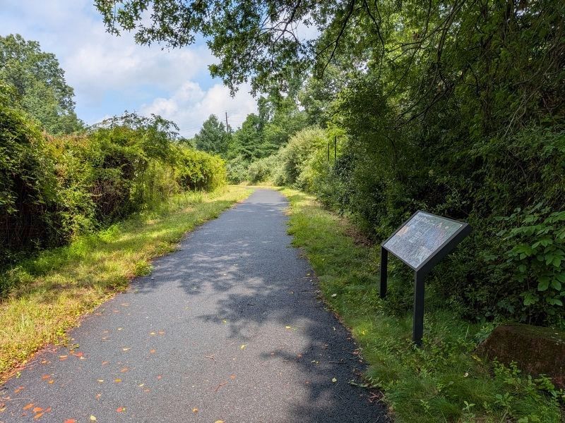
2. Mount Rose The Landform Marker
— (background photograph) Diabase quarry at one of the quarries alongside the Delaware River, circa 1938 (New Jersey State Archives, New Jersey Writers Project Photograph Collection).
This project was funded by the FHSW Recreational Trails Program, through the New Jersey Department of Environmental Protection. Content development by Hunter Research, Inc. Graphic design by Douglas Scott
Interested in the History of the Lawrence-Hopewell Trail? Visit lhtrail.org/history
Topics. This historical marker is listed in these topic lists: Industry & Commerce • Settlements & Settlers. A significant historical year for this entry is 1820.
Location. 40° 22.038′ N, 74° 44.539′ W. Marker is in Hopewell, New Jersey, in Mercer County. It can be reached from Pennington Rocky Hill Road ¼ mile west of Carter Road, on the left when traveling west. Located on the Lawrence-Hopewell Trail about 300 feet from where the trail leaves Pennington Rocky Hill Road. Touch for map. Marker is in this post office area: Princeton NJ 08540, United States of America. Touch for directions.

Regionally, this marker is in Central Jersey and
Photographed by Richard Peterson, August 6, 2026
3. Mount Rose The Landform Marker
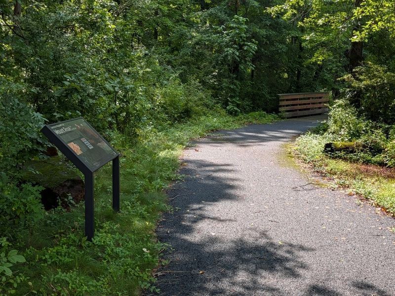
Looking south along the Lawrence Hopewell Trail
Other nearby markers. At least 8 other markers are within 3 miles of this marker, measured as the crow flies: The Historic Village of Mount Rose (approx. ¼ mile away); Mount Rose Distillery (approx. ¼ mile away); Hopewell Call To Duty (approx. 1.6 miles away); Watershed Reserve (approx. 1.8 miles away); Hopewell Academy (approx. 1.8 miles away); Joab Houghton (approx. 1.8 miles away); A Mill and a Bridge in the Back Country (approx. 2 miles away); John Hart (approx. 2.2 miles away). Touch for a list and map of all markers in Hopewell.
Also see . . . Lawrence Hopewell Trail (Wikipedia). (Submitted on August 10, 2026, by Michael Herrick of Southbury, Connecticut.)
Credits. This page was last revised on August 10, 2026. It was originally submitted on August 6, 2026, by Richard Peterson of East Windsor, New Jersey. This page has been viewed 14 times since then. Photos: 1. submitted on August 6, 2026, by Richard Peterson of East Windsor, New Jersey. 2, 3. submitted on August 7, 2026, by Richard Peterson of East Windsor, New Jersey. • Michael Herrick was the editor who published this page.
