Bayeux in Calvados, Normandy, France — Western Europe
Le Général de Gaulle à Bayeux
⎯⎯⎯
General de Gaulle in Bayeux
| — | Bayeux, la qualité a ses racines | — |
Photographed by James Hulse, August 1, 2026
1. Le Général de Gaulle à Bayeux / General de Gaulle in Bayeux Marker

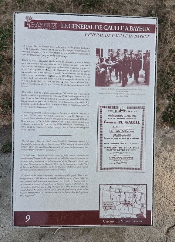
Le 6 juin 1944, les troupes alliées débarquent sur les plages du Bessin. Dès le lendemain, Bayeux est libérée par les troupes britanniques. Au cœur des combats, la cité est, avec Honfleur, la seule ville de Normandie à avoir été totalement épargnée par les destructions.
Dès le 14 juin, le général de Gaulle arrive de Londres et se rend à Bayeux où il est accueilli par une foule en liesse jusque sur cette place où il s'adresse aux Bayeusains. C'est pour lui l'occasion d'affirmer la présence de la France parmi les troupes de libération et de rétablir la légalité républicaine sur le sol national. Il confie l'administration des territoires libérés à un commissaire régional de la République. Entouré de son équipe, ce dernier s'installe dans l'Hôtel de la sous-préfecture édifié sur le côté sud de la place au cours des années 1860. Bayeux devient ainsi, jusqu'à la libération de Paris le 25 août, la capitale administrative de la France.
Une stèle, à l'est de la place, commémore l'allocution que le général de Gaulle adresse à la population en ce lieu en 1944. Son inauguration, le 16 juin 1946, est l'occasion pour lui
this page online
Il évoque également à cette occasion les évènements de juin 1944 en ces termes : "Dans notre Normandie glorieuse et mutilée, Bayeux et ses environs furent témoins d'un des plus grands affrontements de l'Histoire. Nous attestons qu'ils en furent dignes. C'est ici que, quatre années après le désastre initial de la France et des Alliés, débuta la victoire finale des Alliés et de la France... En même temps, c'est à Bayeux que réapparut l'Etat Légitime".
Le général de Gaulle sortant de la sous-préfecture de Bayeux le 14 juin 1944
On 14th June, General de Gaulle, arriving from London, addressed the inhabitants of Bayeux in this square
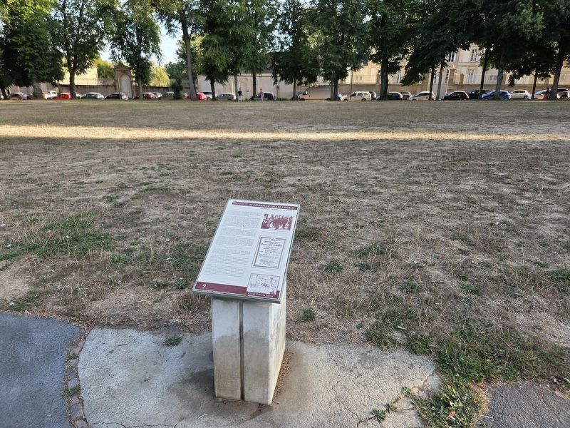
Photographed by James Hulse, August 1, 2026
2. Le Général de Gaulle à Bayeux / General de Gaulle in Bayeux Marker
To the east of the square a memorial commemorates this speech. When it was inaugurated in 1946, General de Gaulle recalled the events of June 1944: "In our glorious and mutilated Normandy, the people of Bayeux and its surrounding area have witnessed one of history's greatest confrontations. We can confirm that they are worthy of praise. It is here, four years after the initial disaster for France and its Allies, that the final victory of the Allied forces in France started...At the same time, it is in Bayeux that the Legitimate State reappeared".
General de Gaulle coming out of the sub-prefecture of Bayeux on June 14th 1944
Erected by La ville de Bayeux. (Marker Number 9.)
Topics and series. This historical marker is listed in this topic list: War, World II. In addition, it is included in
Photographed by James Hulse, August 1, 2026
3. Le Général de Gaulle à Bayeux / General de Gaulle in Bayeux Marker
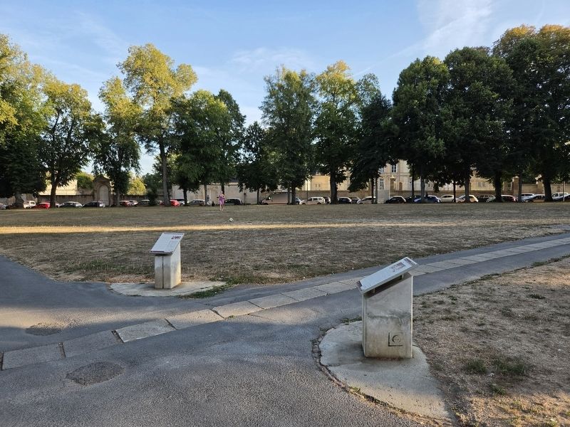
Left marker.
Location. 49° 16.576′ N, 0° 42.452′ W. Marker is in Bayeux, Normandie (Normandy), in Calvados. It is at the intersection of Place Charles de Gaulle and Rue des Terres on Place Charles de Gaulle. Touch for map. Marker is at or near this postal address: 7 Pl Charles de Gaulle, Bayeux, Normandie 14400, France. Touch for directions.

Regionally, it is in the North Atlantic Region, Europe, the European Union, Atlantic Europe, the Schengen Area, Western Europe, a coastal Mediterranean country, and the Western World. Historically, it finds itself in what was once a French colony and also the Roman Empire.
Other nearby markers. At least 8 other markers are within walking distance of this marker: La Dentelle / Lace in Bayeux (here, next to this marker); Un Monastère, Manufacture de Porcelaine / A Convent Manufacturing Porcelain (here, next to this marker); Du Château à la Place Publique / From a Castle to a Public Square (here, next to this marker); Discours du général de Gaulle à Bayeux / General de Gaulle’s Speech in Bayeux (within
Photographed by James Hulse, August 1, 2026
4. Le Général de Gaulle à Bayeux / General de Gaulle in Bayeux Marker
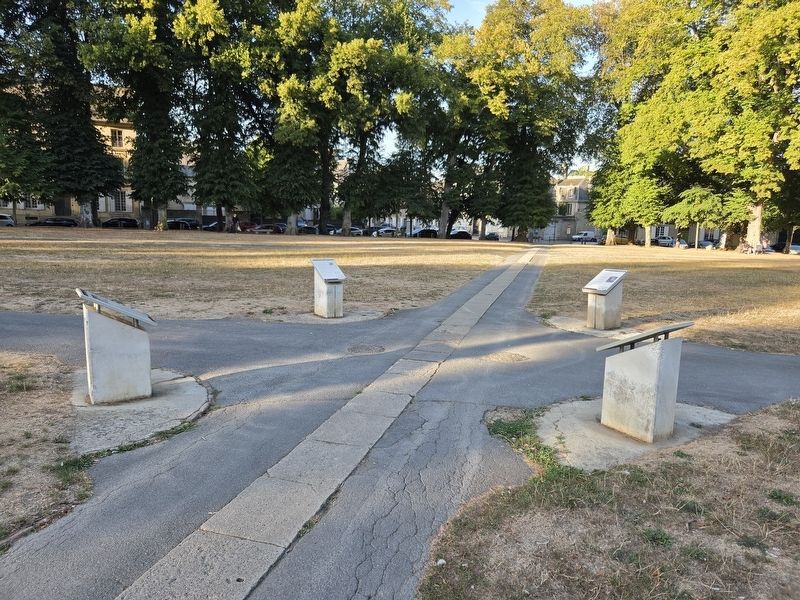
The marker is located in a group of four markers.
Credits. This page was last revised on August 7, 2026. It was originally submitted on August 7, 2026, by James Hulse of Medina, Texas. This page has been viewed 15 times since then. Photos: 1, 2, 3, 4. submitted on August 7, 2026, by James Hulse of Medina, Texas.
