Bayeux in Calvados, Normandy, France — Western Europe
Du Château à la Place Publique
⎯⎯⎯
From a Castle to a Public Square
| — | Bayeux, la qualité a ses racines | — |
Photographed by James Hulse, August 1, 2026
1. Du Château à la Place Publique / From a Castle to a Public Square Marker

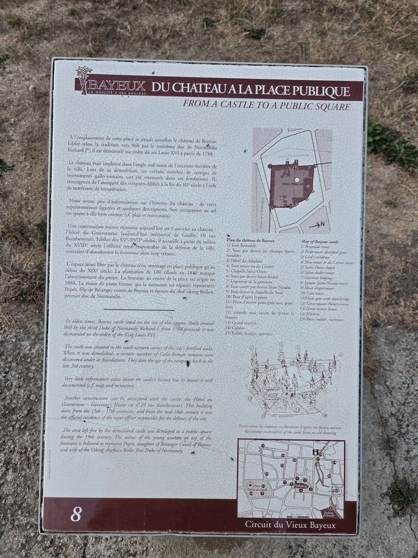
A l'emplacement de cette place se situait autrefois le château de Bayeux. Edifié selon la tradition vers 960 par le troisième duc de Normandie Richard Iᵉʳ, il est démantelé sur ordre du roi Louis XVI à partir de 1788.
Le château était implanté dans l'angle sud-ouest de l'enceinte fortifiée de la ville. Lors de sa démolition, un certain nombre de vestiges de monuments gallo-romains ont été retrouvés dans ses fondations. Ils témoignent de l'antiquité des remparts édifiés à la fin du IIIᵉ siècle à l'aide de matériaux de récupération.
Nous avons peu d'informations sur l'histoire du château : de rares représentations figurées et quelques descriptions. Son occupation au sol est quant à elle bien connue (cf. plan et restitution).
Une construction encore existante aujourd'hui est à associer au château : l'hôtel du Gouverneur (aujourd'hui mémorial de Gaulle, 10 rue Bourbesneur). Edifice des XVᵉ-XVIIᵉ siècles, il accueille à partir du milieu du XVIIIᵉ siècle l'officier royal responsable de la défense de la ville, contraint d'abandonner la forteresse alors trop vétuste.
L'espace
this page online
Plan du château de Bayeux
1/ Tour Renaulde
2/ Tour par devers les champs (porte fortifiée)
3/ Hôtel du châtelain
4/ Tour neuve ou du Cornet
5/ Chapelle Saint-Ouen
6/ Tour par devers Saint-André
7/ Logement de la garnison
8/ Tour carrée par devers Saint-Nicolas
9/ Tour devers la chapelle du fossé
10/ Tour d'après la porte
11/ Porte d'entrée principale avec pont-levis
12/ Grande tour carrée de devers la Poterie
13/ Grand manoir
14/ Cuisine
15/ Etable, écuries, appentis
Restitution du château en élévation d'après un dessin ancien
The
Photographed by James Hulse, August 1, 2026
2. Du Château à la Place Publique / From a Castle to a Public Square Marker
Very little information exists about the castle's history but its layout is well documented (c.f. map and recreation).
Another construction can be associated with the castle: the Hôtel du Gouverneur - Governor's House (at n°10 rue Bourbesneur). This building dates from the 15th-17th centuries, and from the mid-18th century it was the official residence of the royal officer responsible for the defence of the city.
The area left free by the demolished castle was developed as a public square during the 19th century. The statue of the young woman on top of the fountain is believed to represent Popée, daughter of Béranger Count of Bayeux and wife of the Viking chieftain Rollo, first Duke of Normandy.
Map of Bayeux castle
1/ Renaulde tower
2/ Field tower (fortified gate)
3/ Lord's residence
4/ New tower or du Cornet tower
5/ Saint-Ouen chapel
6/ Saint-André tower
7/ Garrison lodgings
8/ Square Saint-Nicolas tower
9/ Moat chapel tower
10/ Gate tower
11/ Main gate with drawbridge
12/ Great square Pottery tower
13/ Great manor house
14/ Kitchens
15/ Barn, stables, outhouses
Restitution in elevation of the castle from an old drawing
Erected by La
Photographed by James Hulse, August 1, 2026
3. Du Château à la Place Publique / From a Castle to a Public Square Marker
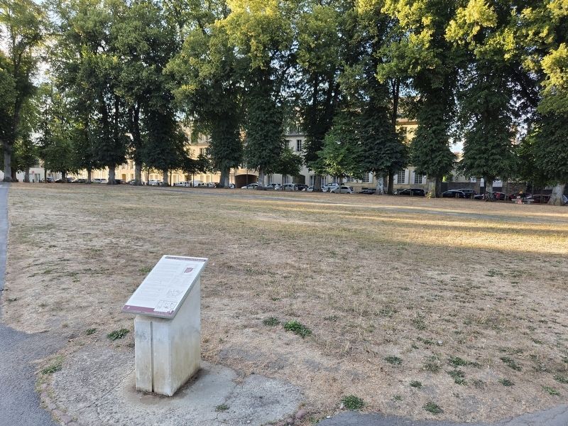
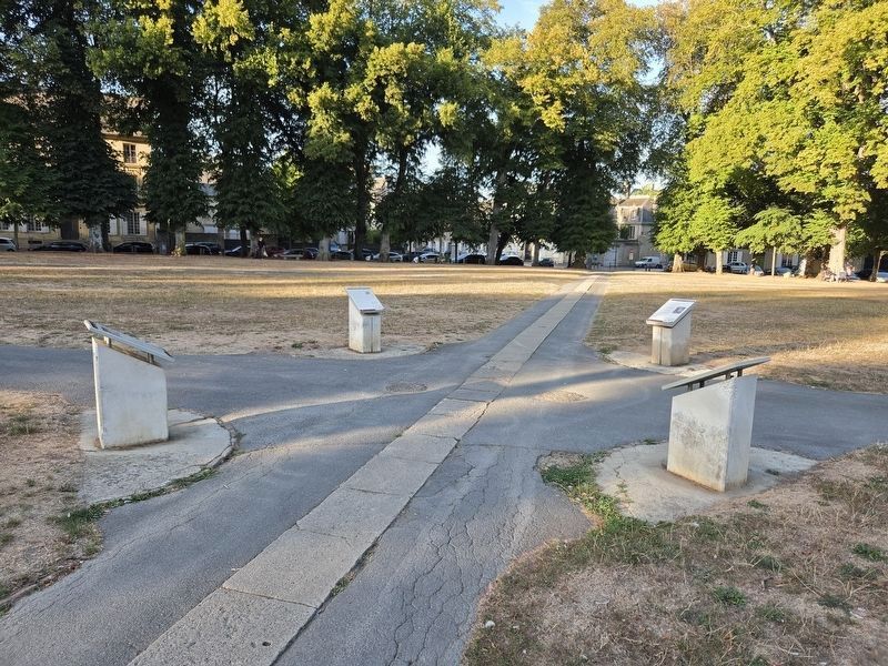
The marker is located in a group of four markers. The marker is the middle left marker.
Topics. This historical marker is listed in this topic list: Forts and Castles. A significant historical year for this entry is 1788.
Location. 49° 16.579′ N, 0° 42.451′ W. Marker is in Bayeux, Normandie (Normandy), in Calvados. It is at the intersection of Place Charles de Gaulle and Rue des Terres on Place Charles de Gaulle. Touch for map. Marker is at or near this postal address: 7 Pl Charles de Gaulle, Bayeux, Normandie 14400, France. Touch for directions.

Regionally, it is in the North Atlantic Region, Europe, the European Union, Atlantic Europe, the Schengen Area, Western Europe, a coastal Mediterranean country, and the Western World. Historically, it finds itself in what was once a French colony and also the Roman Empire.
Other nearby markers. At least 8 other markers are within walking distance of this marker: La Dentelle / Lace in Bayeux (here, next to this marker); Un Monastère, Manufacture de Porcelaine / A Convent Manufacturing Porcelain (here, next to this marker); Le Général de Gaulle à Bayeux / General de Gaulle in Bayeux (here, next to this marker); Discours du général de Gaulle à Bayeux / General de Gaulle’s Speech in Bayeux (within shouting distance of this marker); La Rue Général de Dais / Rue Général de Dais (about 90 meters away, measured in a direct line); Bayeux Franco-Prussian War Memorial (about 150 meters away); La Rue de la Maîtrise / Rue de la Maîtrise (about 150 meters away); Le parvis de la cathédrale / Cathedral Square (about 240 meters away). Touch for a list and map of all markers in Bayeux.
Credits. This page was last revised on August 7, 2026. It was originally submitted on August 7, 2026, by James Hulse of Medina, Texas. This page has been viewed 8 times since then. Photos: 1, 2, 3. submitted on August 7, 2026, by James Hulse of Medina, Texas.
