
Beasley in Hamilton, Ontario — Central Canada (North America)
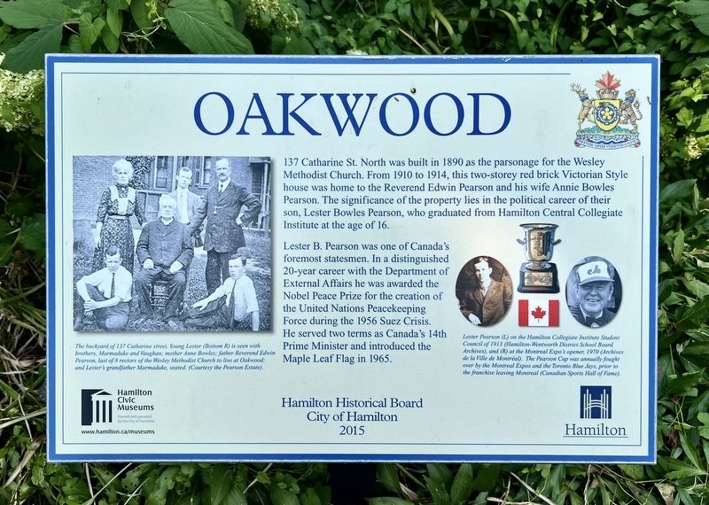
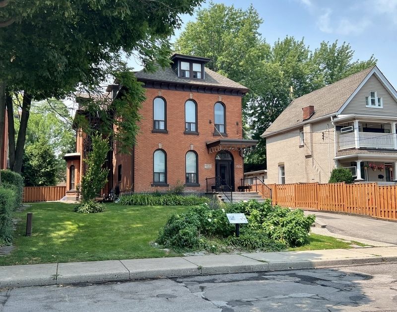
Oakwood
Photographed by Tim Boyd, July 28, 2026
1. Oakwood Marker
Erected 2015 by City of Hamilton.
Topics. This historical marker is listed in these topic lists: Government & Politics • Religion & Religious Structures. A significant historical year for this entry is 1910.
Location. 43° 15.556′ N, 79° 51.818′ W. Marker is in Hamilton, Ontario. It is in Beasley. It is on Catharine Street North 0.2 kilometers south of Cannon Street
this page online

Regionally, this marker is on Ontario’s Golden Horseshoe, in the Hamilton-Halton-Brant Area, and specifically in the Toronto Metropolitan Area. It is also in Central Canada. Globally, it is in North America, on the Great Lakes, in the Western Hemisphere, in the Western World, and in the Anglosphere. Historically, it finds itself in what was once a British colony, the Viceroyalty of New France, the Haudenosaunee (Iroquois) Confederacy, and Rupert’s Land.
Other nearby markers. At least 8 other markers are within walking distance of this marker: Stewart Memorial Church (about 120 meters away, measured in a direct line); Historic James Street North (approx. 0.3 kilometers away); Acting Sergeant John Rennie, G.C. 1919-1943 (approx. 0.4 kilometers away); 91st Regiment Canadian Highlanders Memorial (approx. 0.4 kilometers away); The Lieutenant-Colonel John Weir Foote, VC CD Armoury (approx. 0.4 kilometers away); Lieutenant Charles Davidson Dunbar, D.C.M.
Photographed by Tim Boyd, July 28, 2026
2. Oakwood Marker
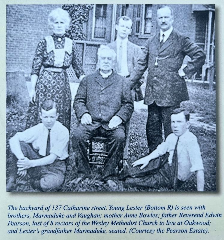
3. Oakwood marker photo and caption detail (left)
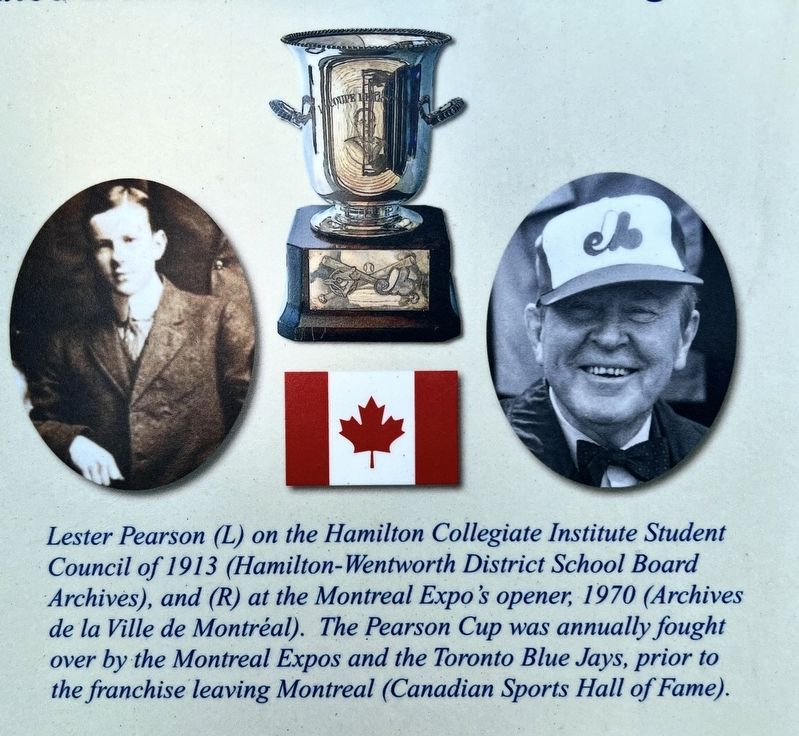
Photographed by Tim Boyd, July 28, 2026
4. Oakwood marker photos and caption detail (right)
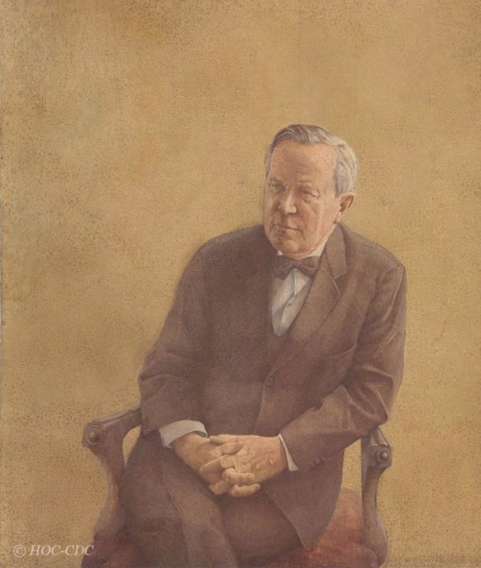
1968
5. The Rt. Hon. Lester B. Pearson, official portrait as Prime Minister, 1968
Source: Government of Canada (under special government license)
Credits. This page was last revised on August 8, 2026. It was originally submitted on August 7, 2026, by Tim Boyd of Hamilton, Ontario. This page has been viewed 9 times since then. Photos: 1, 2, 3, 4, 5. submitted on August 7, 2026, by Tim Boyd of Hamilton, Ontario. • Andrew Ruppenstein was the editor who published this page.
