Northglen in Oshawa in Durham Region, Ontario — Central Canada (North America)
British Commonwealth Air Training Plan
No. 20 Elementary Flying Training School- Oshawa
| — | National Historic Civil Engineering | — |
Photographed by Tim Boyd, July 30, 2026
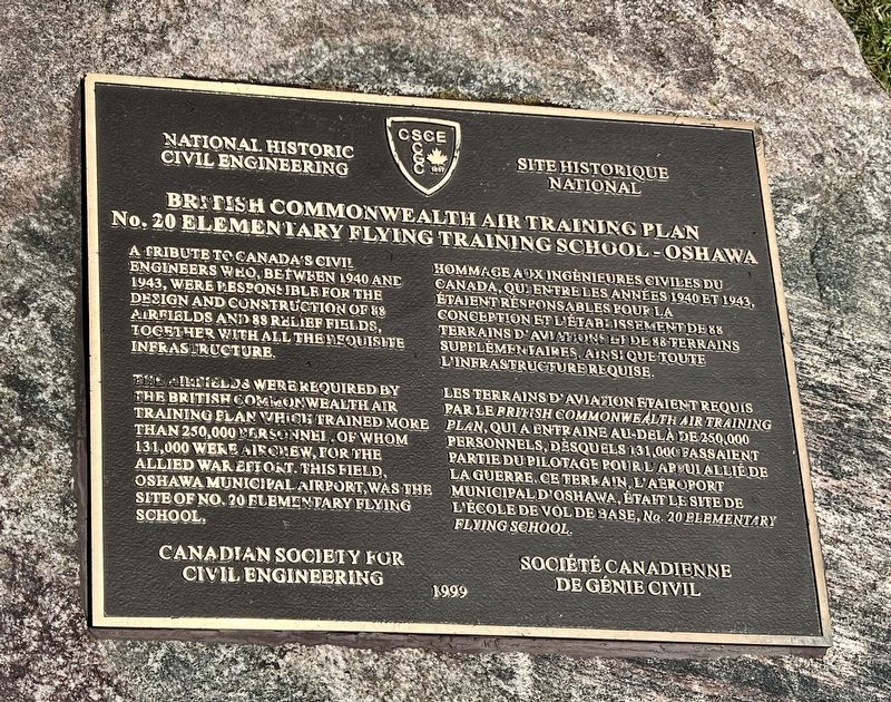
1. British Commonwealth Air Training Plan Marker

The airfields were required by the British Commonwealth Air Training Plan which trained more than 250,000 personnel of whom 131,000 were aircrew, for the allied war effort. This field, Oshawa Municipal Airport, was the site of No. 20 Elementary Flying School.
Les terrains d'aviation étaient requis plan, qui a entraine au-delà de 250,000 par le British Commonwealth Air Training Plan personnels, desquels 131,000 fassaient partie du pilotage pour lapulallie de municipal d'Oshawa, était le site de la guerre. Ce terrain, l'aéroport l'ecole de vol de base, No. 20 Elementary Flying School.
Erected 1999 by Canadian Society for Civil Engineering.
Topics.
this page online
Location. 43° 55.022′ N, 78° 53.644′ W. Marker is in Oshawa, Ontario, in Durham Region. It is in Northglen. It is on Stevenson Road North 0.1 kilometers north of Fairglen Avenue, on the right when traveling north. Touch for map. Marker is at or near this postal address: 1200 Stevenson Road N, Oshawa ON L1J 5P5, Canada. Touch for directions.

Regionally, this marker is in Greater Toronto, specifically on the Golden Horseshoe, in the York, Durham and Headwaters Area, and in the Toronto Metropolitan Area. It is also in Central Canada. Globally, it is in North America, on the Great Lakes, in the Western Hemisphere, in the Western World, and in the Anglosphere. Historically, it finds itself in what was once a British colony, the Viceroyalty of New France, the Haudenosaunee (Iroquois) Confederacy, and Rupert’s Land.
Other nearby markers. At least 8 other markers are within 3 kilometers of this marker, measured as the crow flies: A different marker also named The British Commonwealth Air Training Plan
Photographed by Tim Boyd, July 30, 2026
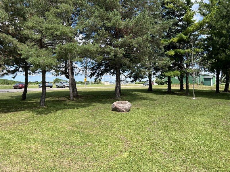
2. British Commonwealth Air Training Plan Marker
Photographed by Tim Boyd, July 30, 2026
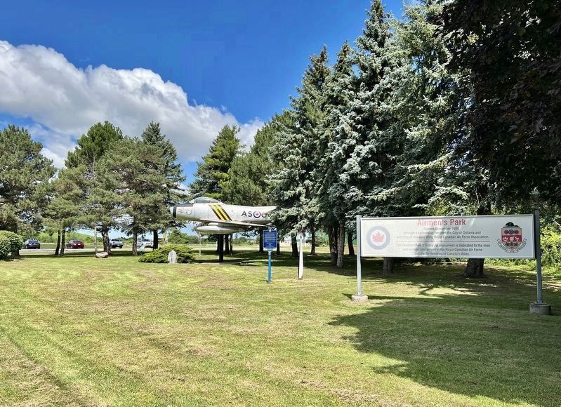
3. Airmen’s Park, Oshawa
The marker is affixed to the stone at the far left
Photographed by Tim Boyd, July 30, 2026
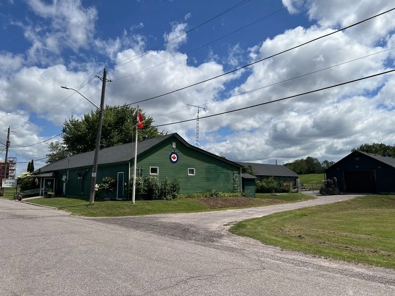
4. Preserved buildings from No. 20 Elementary Flying Training School in 2026
In the foreground is the Canteen
Credits. This page was last revised on August 9, 2026. It was originally submitted on August 7, 2026, by Tim Boyd of Hamilton, Ontario. This page has been viewed 12 times since then. Photos: 1, 2, 3, 4. submitted on August 7, 2026, by Tim Boyd of Hamilton, Ontario. • Andrew Ruppenstein was the editor who published this page.
