Northglen in Oshawa in Durham Region, Ontario — Central Canada (North America)
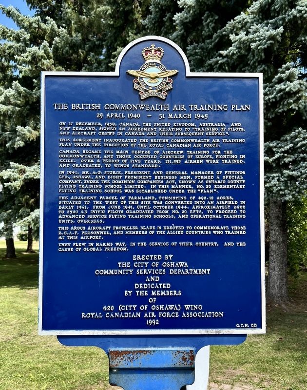
The British Commonwealth Air Training Plan
29 April 1940 - 31 March 1945
Photographed by Tim Boyd, July 30, 2026
1. The British Commonwealth Air Training Plan Marker
On 17 December, 1939, Canada, the United Kingdom, Australia and New Zealand, signed an agreement relating to “training of pilots, and aircraft crews in Canada and their subsequent service".
This agreement inaugurated the British Commonwealth Air Training Plan under the direction of the Royal Canadian Air Force.
Canada became the main centre of aircrew training for the Commonwealth, and those occupied countries of Europe, fighting in exile. Over a period of five years, 131,553 airmen were trained, and graduated, to Wings Standard.
In 1941, Mr. A.G. Storie, President and General Manager of Fittings Ltd., Oshawa, and eight prominent business men, formed a special company, under the Dominion Companies Act, known as Ontario County Flying Training School Limited. In this manner, No. 20 Elementary Flying Training School was established under the "plan".
The adjacent parcel of farmland, consisting of 492.12 acres, situated to the west of this site was converted into an airfield in early 1941. From June 1941, until October 1944, approximately 2400 to 2500 ab initio pilots graduated from No. 20 EFTS, to proceed to
this page online
This Argus aircraft propeller blade is erected to commemorate those R.C.A.F. personnel, and members of the allied countries who trained at this airport.
They flew in harms way, in the service of their country, and the cause of global freedom.
Erected 1992 by City of Oshawa.
Topics. This historical marker is listed in these topic lists: Air & Space • War, World II. A significant historical date for this entry is December 17, 1939.
Location. 43° 55.015′ N, 78° 53.626′ W. Marker is in Oshawa, Ontario, in Durham Region. It is in Northglen. It is on Stevenson Road North 0.1 kilometers north of Fairglen Avenue, on the right when traveling north. Touch for map. Marker is at or near this postal address: 1200 Stevenson Rd N, Oshawa ON L1J 5P5, Canada. Touch for directions.

Regionally, this marker is in Greater Toronto, specifically on the Golden Horseshoe, in the York, Durham and Headwaters Area, and in the Toronto Metropolitan Area. It is also in Central Canada. Globally, it is in North America, on the Great Lakes, in the Western Hemisphere,
Photographed by Tim Boyd, July 30, 2026
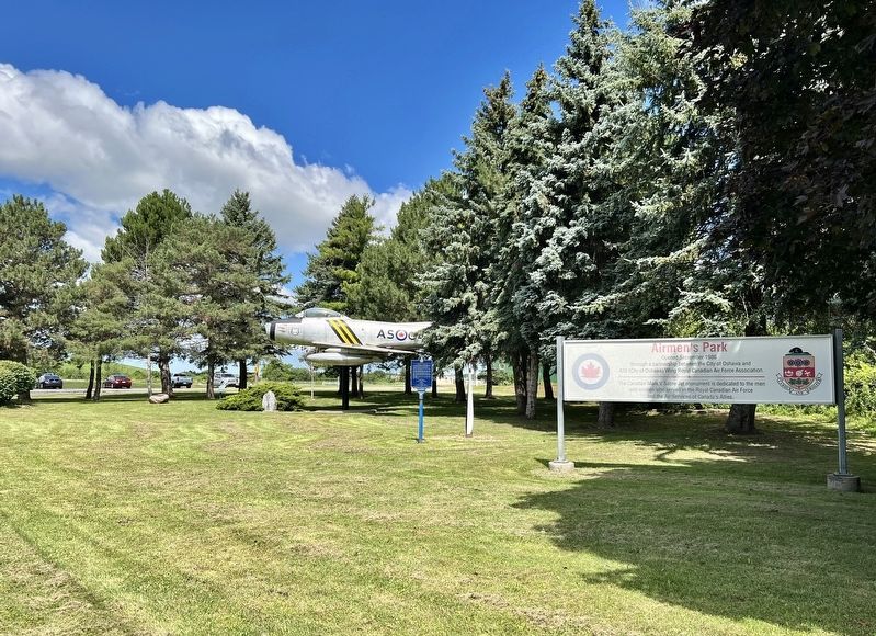
2. The British Commonwealth Air Training Plan Marker
Centre of photo
Other nearby markers. At least 8 other markers are within 3 kilometers of this marker, measured as the crow flies: A different marker also named British Commonwealth Air Training Plan (within shouting distance of this marker); Robert Samuel McLaughlin (approx. 2.5 kilometers away); Parkwood (approx. 2.5 kilometers away); R.S. "Sam" McLaughlin, C.C., 1871-1972 (approx. 2.5 kilometers away); Full Steam Ahead (approx. 3 kilometers away); The John Bolase Warren Flour Mill (approx. 3.1 kilometers away); In Honoured Memory of the Men of the Ontario Regiment (approx. 3.1 kilometers away); General Motors of Canada (approx. 3.1 kilometers away). Touch for a list and map of all markers in Oshawa.
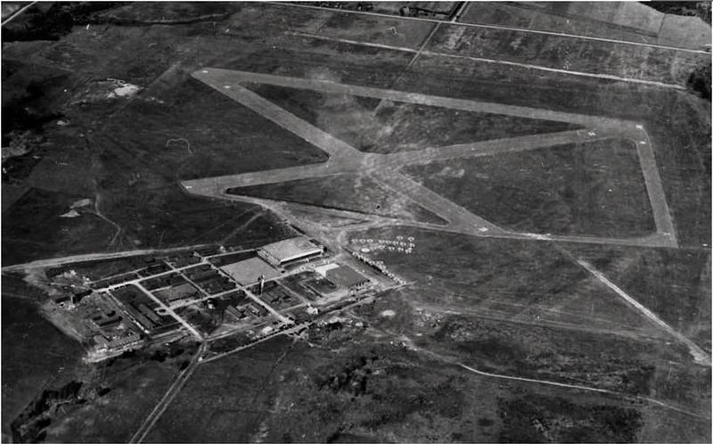
3. No. 20 Elementary Flying Training School (future Oshawa Airport) ca 1942-4
Source: Royal Canadian Air Force (public domain)
Credits. This page was last revised on August 9, 2026. It was originally submitted on August 7, 2026, by Tim Boyd of Hamilton, Ontario. This page has been viewed 11 times since then. Photos: 1, 2, 3. submitted on August 7, 2026, by Tim Boyd of Hamilton, Ontario. • Andrew Ruppenstein was the editor who published this page.
