Near Greensboro in Guilford County, North Carolina — The American South (South Atlantic)
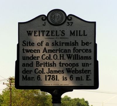
Weitzel's Mill
Erected 1952 by North Carolina Division of Archives and History. (Marker Number J-37.)
Topics and series. This historical marker is listed in this topic list: War, US Revolutionary. In addition, it is included in the North Carolina Division of Archives and History series list. A significant historical date for this entry is March 6, 1812.
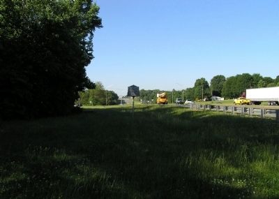
Location. 36° 9.061′ N, 79° 43.747′ W. Marker is near Greensboro, North Carolina, in Guilford County. Marker is at the intersection of North O Henry Boulevard (U.S. 29) and Hicone Road, on the right when traveling north on North O Henry Boulevard. The marker is located on grassy strip between US-29 and the northbound exit ramp to Hicone Road. Touch for map. Marker is in this post office area: Greensboro NC 27405, United States of America. Touch for directions.
Other nearby markers. At least 8 other markers are within 6 miles of this marker, measured as the crow flies. Polio Hospital (approx. 4˝ miles away); Greensboro O.R.D. (approx. 4.8 miles away); Irving Park (approx. 5 miles away); Simkins v. Cone (approx. 5.3 miles away); Cone Brothers (approx. 5.3 miles away); Guilford County Health Department (approx. 5.4 miles away); Sigmund Sternberger House (approx. 5.6 miles away); William C. Beasley House (approx. 5.6 miles away). Touch for a list and map of all markers in Greensboro.
Regarding Weitzel's Mill. There have been various spellings of the mill owner's name through the years: Wetzell, Weitzell, Weitzel and Whitesell. The most common are Weitzell or Weitzel.
Related markers. Click here for a list of markers that are related to this marker. To better understand the relationship, study each marker in the order shown.
Also see . . . American Revolutionary War: The Battle of Wetzell's Mill. (Submitted on December 20, 2012, by PaulwC3 of Northern, Virginia.)

Photographed By Paul Crumlish, May 10, 2010
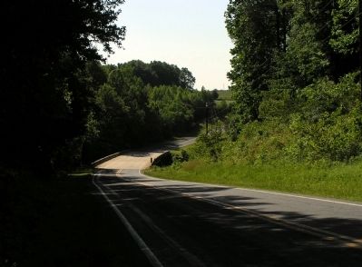
3. Site of Weitzel's Mill
Based on the research of "The Bicentennial Guide to the American Revolution Volume III The War in the South (1974), this is believed to the general location of Weitzel's Mill. The location is Reedy Creek in Gibsonville, North Carolina, at present day SR-61.
Credits. This page was last revised on February 21, 2023. It was originally submitted on May 17, 2010, by PaulwC3 of Northern, Virginia. This page has been viewed 1,334 times since then and 109 times this year. Last updated on February 17, 2023, by Michael Buckner of Durham, North Carolina. Photos: 1, 2, 3. submitted on May 17, 2010, by PaulwC3 of Northern, Virginia. • Bernard Fisher was the editor who published this page.

