Picton in Prince Edward in Prince Edward County, Ontario — Central Canada (North America)
The County Buildings
Photographed by Tim Boyd, July 30, 2026
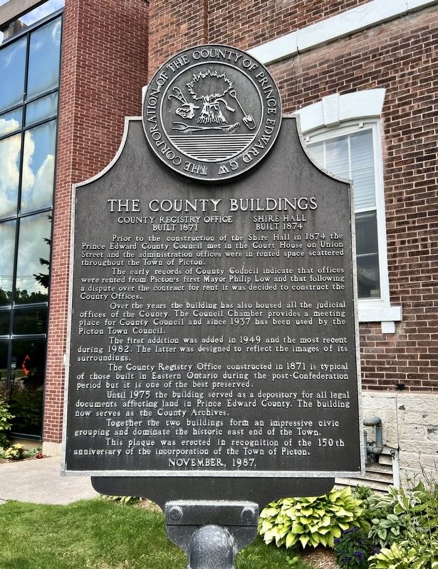
1. The County Buildings Marker
County Registry Office Built 1871
Shire Hall Built 1874
Prior to the construction of the Shire Hall in 1874 the Prince Edward County Council met in the Court House on Union Street and the administration offices were in rented space scattered throughout the Town of Picton.
The early records of County Council indicate that offices were rented from Picton's first Mayor Philip Low and that following a dispute over the contract for rent it was decided to construct the County Offices.
Over the years the building has also housed all the judicial offices of the County. The Council Chamber provides a meeting place for County Council and since 1957 has been used by the Picton Town Council.
The first addition was added in 1949 and the most recent during 1982. The latter was designed to reflect the images of its surroundings.
The County Registry Office constructed in 1871 is typical of those built in Eastern Ontario during the post-Confederation period but it is one of the best preserved.
Until 1975 the building served as a depository for all legal documents affecting land in Prince Edward County. The building
this page online
Together the two buildings form an impressive civic grouping and dominate the historic east end of the Town.
This plaque was erected in recognition of the 150th anniversary of the incorporation of the Town of Picton.
Erected 1987 by County of Prince Edward.
Topics. This historical marker is listed in these topic lists: Architecture • Government & Politics. A significant historical year for this entry is 1874.
Location. 44° 0.565′ N, 77° 8.322′ W. Marker is in Prince Edward, Ontario, in Prince Edward County. It is in Picton. It is at the intersection of Picton Main Street and Paul Street, on the right when traveling north on Picton Main Street. Touch for map. Marker is at or near this postal address: 332 Picton Main St, Prince Edward ON K0K 2T0, Canada. Touch for directions.

Regionally, this marker is in Southeastern Ontario. It is also in Central Canada. Globally, it is in North America, on the Great Lakes, in the Western Hemisphere, in the Western World, and in the Anglosphere. Historically, it finds itself in what was once a British colony, the Viceroyalty of New
Photographed by Tim Boyd, July 30, 2026
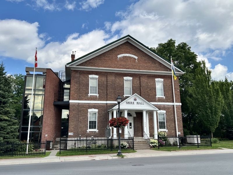
2. The County Buildings Marker
On the left of the portico
Other nearby markers. At least 8 other markers are within walking distance of this marker: North American Hotel (about 90 meters away, measured in a direct line); Bank of Montreal (about 120 meters away); Welcome to the Armoury (approx. 0.3 kilometers away); The Hastings and Prince Edward Regiment (approx. 0.3 kilometers away); John A. Macdonald in Hallowell (approx. 0.3 kilometers away); The Rev. William Macauley (approx. 0.6 kilometers away); Macaulay Heritage Park (approx. 0.6 kilometers away); The “Conference Church” (approx. 0.6 kilometers away). Touch for a list and map of all markers in Prince Edward.
Photographed by Tim Boyd, July 30, 2026
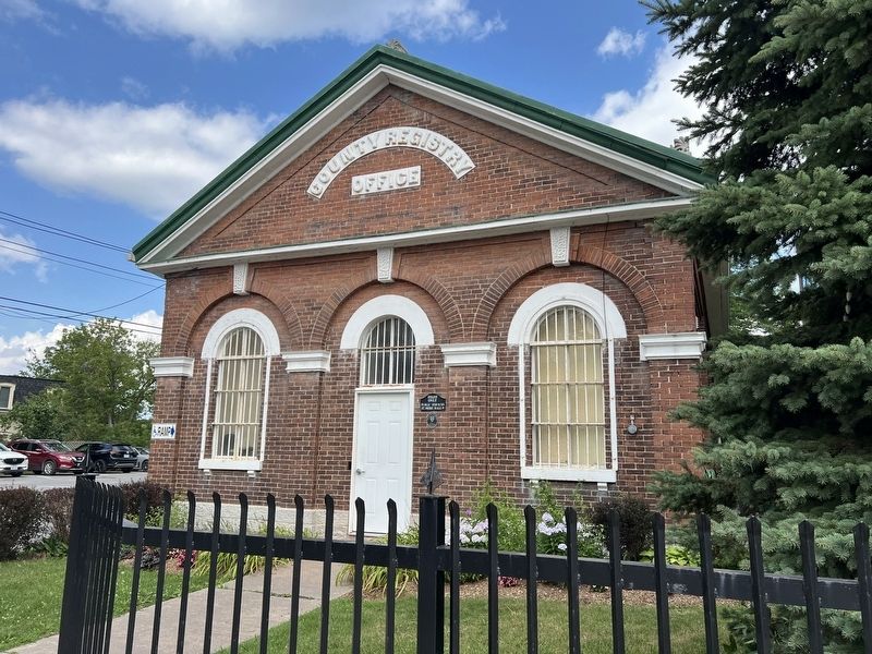
3. The County Registry Building
Photographed by Tim Boyd, July 30, 2026
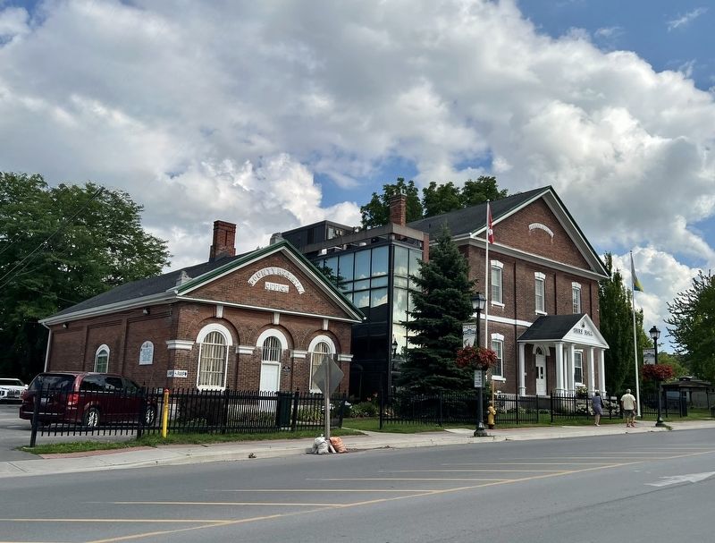
4. The County Buildings in 2026
Credits. This page was last revised on August 9, 2026. It was originally submitted on August 9, 2026, by Tim Boyd of Hamilton, Ontario. This page has been viewed 15 times since then. Photos: 1, 2, 3, 4. submitted on August 9, 2026, by Tim Boyd of Hamilton, Ontario. • Andrew Ruppenstein was the editor who published this page.
