
Whitetop in Grayson County, Virginia — The American South (Mid-Atlantic)
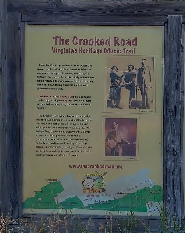
The Crooked Road
Virginia’s Heritage Music Trail
Photographed by Tom Bosse, July 5, 2026
1. The Crooked Road Marker
Old time mountain music, bluegrass, and gospel can be enjoyed all year long and several museums are devoted to showcasing the area’s rich musical heritage.
The Crooked Road winds through the ruggedly beautiful Appalachian Mountains and leads you to the major hotspots of old time mountain, music country music, and bluegrass. Alive and kickin’ for today’s fans, these venues preserve and celebrate musical traditions passed down through generations. Annual festivals, weekly concerts, radio shows, and jam sessions ring out to large audiences and intimate gatherings. Please visit the Crooked Road website to plan your trip to coincide with the current entertainment events.
Erected by The Crooked Road.
Topics. This historical marker is listed in this topic list: Arts, Letters, Music.
Location. 36° 36.935′ N,
this page online

Regionally, this marker is in Southwest Virginia and in the Blue Ridge Highlands. It is also in the American South, specifically in the Upper South, in Appalachia, and specifically in Southern Appalachia. Globally, it is in North America, the Western Hemisphere, the Western World, and the Anglosphere. Historically, it finds itself in what was once the territory of the Mississippian Culture, one of the original Thirteen Colonies, one of the Confederate States of America, and the Antebellum South.
Other nearby markers. At least 8 other markers are within 3 miles of this marker, measured as the crow flies: Whitetop (here, next to this marker); White Top Folk Festival (approx. 1.2 miles away); Christmas Tree Farms (approx. 1.8 miles away); “Virginia Creeper” Railroad (approx. 1.8 miles away); Trestle Construction (approx. 2 miles away); Old Growth Forest Remnants
Photographed by Tom Bosse, July 5, 2026
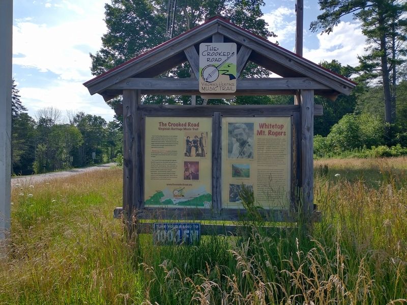
2. The Crooked Road Marker
Photographed by Tom Bosse, July 5, 2026
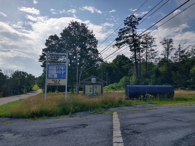
3. The Crooked Road Marker
Credits. This page was last revised on August 9, 2026. It was originally submitted on August 9, 2026, by Tom Bosse of Jefferson City, Tennessee. This page has been viewed 9 times since then. Photos: 1, 2, 3. submitted on August 9, 2026, by Tom Bosse of Jefferson City, Tennessee. • Andrew Ruppenstein was the editor who published this page.
