Picton in Prince Edward County, Ontario — Central Canada (North America)
Welcome to the Armoury
N 44° 00.431 W 077° 08.486 18T E 328331 N 4874899
Photographed by Tim Boyd, July 30, 2026
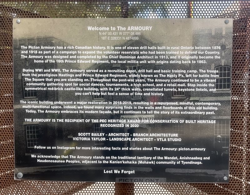
1. Welcome to the Armoury Marker
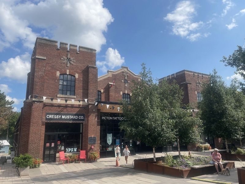
During WWI and WWII, The Armoury served as a recruiting depot, drill hall and basic training camp. The troops from the prestigious Hastings and Prince Edward Regiment, widely known as The Hasty P's, left for battle from The Square that you are standing on. Throughout the post-war years, The Armoury continued to be a vibrant community gathering spot for social dances, tournaments, a high school, and a retail mall. Step inside the symmetrical red-brick castle-like building, with its 24" thick walls, crenellated turrets, keystone lintels, and you can't help but feel a sense of time and history.
The iconic building underwent a major restoration in 2018-2019, resulting in a repurposed, mindful,
this page online
The Armoury is the recipient of the PEC Heritage Award for Conversation of Built Heritage
Recognized in 2020
Scott Bailey - Architect - Branch Architecture
Victoria Taylor - Landscape Architect - VTLA Studio
Follow us on Instagram for more interesting facts and stories about The Armoury: picton.armoury
We acknowledge that The Armoury stands on the traditional territory of the Wendat, Anishnaabeg and Haudenosaunee Peoples, adjacent to the Kanien'keha:ka (Mohawk) community of Tyendinaga.
Lest We Forget
Topics. This historical marker is listed in these topic lists: Architecture • War, World I • War, World II. A significant historical year for this entry is 1913.
Location. 44° 0.441′ N, 77° 8.486′ W. Marker is in Picton, Ontario, in Prince Edward County. It is at the intersection of Main Street West and Ross Street, on the right when traveling east on Main Street West. Touch for map.
Photographed by Tim Boyd, July 30, 2026
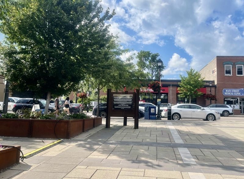
2. Welcome to the Armoury Marker
Facing toward Main Street

Regionally, this marker is in Southeastern Ontario. It is also in Central Canada. Globally, it is in North America, on the Great Lakes, in the Western Hemisphere, in the Western World, and in the Anglosphere. Historically, it finds itself in what was once a British colony, the Viceroyalty of New France, the Haudenosaunee (Iroquois) Confederacy, and Rupert’s Land.
Other nearby markers. At least 8 other markers are within walking distance of this marker: The Hastings and Prince Edward Regiment (a few steps from this marker); John A. Macdonald in Hallowell (within shouting distance of this marker); Bank of Montreal (about 210 meters away, measured in a direct line); North American Hotel (about 240 meters away); The County Buildings (approx. 0.3 kilometers away); The “Conference Church” (approx. 0.3 kilometers away); Letitia Youmans 1827-1896 (approx. 0.7 kilometers away); The Rev. William Macauley (approx. 0.7 kilometers away).
Photographed by Tim Boyd, July 30, 2026
3. The former Picton Armoury in 2026
Credits. This page was last revised on August 13, 2026. It was originally submitted on August 10, 2026, by Tim Boyd of Hamilton, Ontario. This page has been viewed 16 times since then. Photos: 1, 2, 3. submitted on August 10, 2026, by Tim Boyd of Hamilton, Ontario. • Andrew Ruppenstein was the editor who published this page.
