Browns Park in Daggett County, Utah — The American Mountains (Southwest)
Tri-State Corner of Wyoming, Utah and Colorado
Public Land Survey Monument
| — | Lat 41° 00’ 42 616” N. Long. 109° 02’ 42 158” W. Elevation 8402' | — |
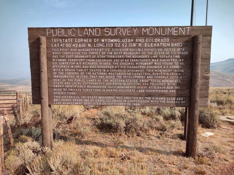
Photographed by Jimmy Emerson, September 5, 2025
1. Tri-State Corner of Wyoming, Utah and Colorado Marker
This point was monumented by U.S. Surveyor Rollin J. Reeves, on July 19, 1879 while completing the survey of the west boundary of the State of Colorado and the east boundary of Utah Territory. The boundary line separating Wyoming Territory from Colorado and Utah Territories was surveyed by U.S. Surveyor A.V. Richards in 1873. The original monument was found to be disturbed in 1931 and was remarked by U.S. Cadastral Engineer E.V. Kimmel with a brass tablet seated in a concrete monument. This monument is one of the corners of the national rectangular cadastral survey system, inaugurated in 1785, that has aided the development and orderly settlement of the public lands of the Western States from these monuments, state and local governments and private citizens are provided with easily identifiable boundaries. Such monuments serve as a base for the work of private surveyors in making accurate land subdivisions and descriptions.
Erected 1999 by Kiwanis Club, Boy Scout Troop 166 of Craig Colorado, and Bureau of Land Management.
Topics. This historical marker is listed in these topic lists: Exploration • Political Subdivisions. A significant historical date for this entry is July 19, 1879.
Location. 41° 0.041′ N,
this page online

Regionally, this marker is in the Uinta Basin and in the Uinta Mountains. It is also in the American Mountain West and on the Colorado Plateau. Globally, it is in North America, the Rocky Mountains, the Western Hemisphere, the Western World, and the Anglosphere. Historically, it finds itself in what was once New Spain and also Mexico’s Alta California.
Other nearby markers. At least one other marker is within 10 miles of this marker, measured as the crow flies: John Jarvie Ranch Historic District (approx. 9.7 miles away).
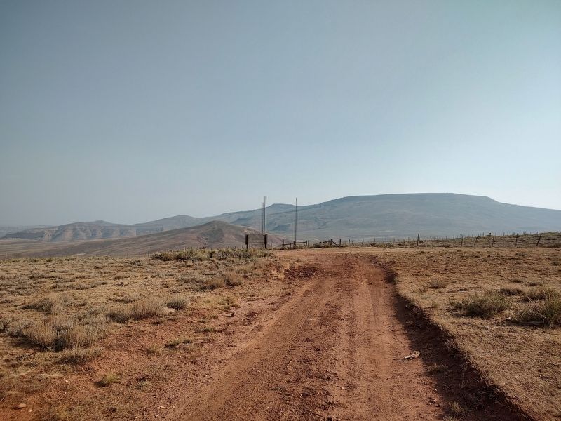
Photographed by Jimmy Emerson, September 4, 2025
2. Tri-State Corner of Wyoming, Utah and Colorado Monument
Credits. This page was last revised on August 10, 2026. It was originally submitted on September 11, 2025, by Jimmy Emerson of Dalton, Georgia. This page has been viewed 397 times since then and 303 times this year. Last updated on August 10, 2026, by Jimmy Emerson of Dalton, Georgia. Photos: 1, 2. submitted on September 11, 2025, by Jimmy Emerson of Dalton, Georgia. • Devry Becker Jones was the editor who published this page.
