Johnson City in Washington County, Tennessee — The American South (East South Central)
Johnson City Post Office
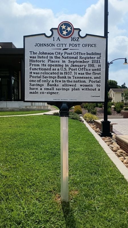
Photographed by Tom Bosse
1. Johnson City Post Office Marker
(Reverse)
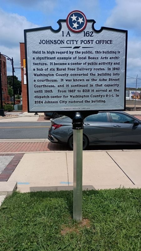
Held in high regard by the public, this building is a significant example of local Beaux Arts architecture. It became a center of public activity and a hub of six Rural Free Delivery routes. In 1940 Washington County converted the building into a courthouse. It was known as the Ashe Street Courthouse, and it continued in that capacity until 1985. From 1987 to 2018 it served as the dispatch center for Washington County's 9-1-1. In 2024 Johnson City restored the building.
Erected 2026 by Tennessee Historical Commission. (Marker Number 1A 162.)
Topics and series. This historical marker is listed in these topic lists: Architecture • Communications • Industry & Commerce. In addition, it is included in the Tennessee Historical Commission series list. A significant historical month for this entry is January 1911.
Location. 36° 18.781′ N, 82° 21.204′ W. Marker is in Johnson City, Tennessee, in Washington County. It is at the intersection of Ashe Street and Earnest Street, on the right when traveling north on Ashe Street. Touch for map. Marker is at or near this postal address: 401 Ashe Street, Johnson City TN 37604, United States of America. Touch for directions.

Regionally, this marker is in East Tennessee and in the Tri-Cities Area. It is also in the American South, specifically in the Upper South, in Appalachia, and specifically in Southern Appalachia. Globally, it is in North America, the Western
this page online
Other nearby markers. At least 8 other markers are within walking distance of this marker: Passing the Torch (a few steps from this marker); Summers Hardware (about 500 feet away, measured in a direct line); East Tennessee & Western North Carolina Depot (about 700 feet away); Johnson City (approx. 0.2 miles away); State Flag (approx. 0.2 miles away); James Hobart Stanton (approx. 0.2 miles away); Rich-R-Tone Records (approx. 0.2 miles away); Main Street (approx. ¼ mile away). Touch for a list and map of all markers in Johnson City.
Photographed by Tom Bosse
2. Johnson City Post Office Marker (Reverse)
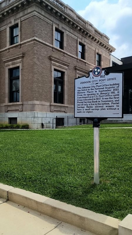
Photographed by Tom Bosse
3. Johnson City Post Office Marker

Photographed by Tom Bosse
4. Johnson City Post Office Marker
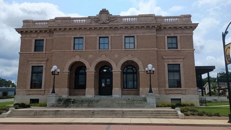
Photographed by Tom Bosse
5. Johnson City Post Office
Credits. This page was last revised on August 11, 2026. It was originally submitted on August 10, 2026, by Tom Bosse of Jefferson City, Tennessee. This page has been viewed 11 times since then. Photos: 1, 2, 3, 4, 5. submitted on August 10, 2026, by Tom Bosse of Jefferson City, Tennessee. • Andrew Ruppenstein was the editor who published this page.
