Drexel Hill in Delaware County, Pennsylvania — The American Northeast (Mid-Atlantic)
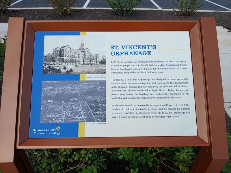
St. Vincent's Orphanage
Photographed by Kate Clifford, August 6, 2026
1. St. Vincent's Orphanage Marker
The facility, St. Vincent's Orphanage, was designed to house up to 500 children, replacing an orphanage that had been lost to the development of the Benjamin Franklin Parkway. However, the outbreak and escalation of World War I delayed construction. Tragically, Archbishop Prendergast passed away before the building was finished. In recognition of his leadership and service, the orphanage was dedicated in his honor.
St. Vincent's served the community for more than 30 years. By 1952, the number of children in the facility declined, and the demand for Catholic secondary education in the region grew. In 1953, the orphanage was vacated and reopened as Archbishop Prendergast High School.
Erected 2026 by Delaware County Community College.
Topics. This historical marker is listed in these topic lists: Charity & Public Work • Education • Religion & Religious Structures. A significant historical year for this entry is 1917.
Location. 39° 57.164′ N,
this page online

Regionally, this marker is in Southeast Pennsylvania and in Greater Philadelphia. It is also in the American Northeast and in the Mid-Atlantic. Globally, it is in North America, the Western Hemisphere, the Western World, and the Anglosphere. Historically, it finds itself in what was once the Haudenosaunee (Iroquois) Confederacy, New Netherland, and one of the original Thirteen Colonies.
Other nearby markers. At least 8 other markers are within 2 miles of this marker, measured as the crow flies: Archbishop Prendergast High School/ Monsignor Bonner High School (here, next to this marker); Residence of Anthony Joseph Drexel Jr. (a few steps from this marker); Thomas Garrett (approx. ¾ mile away); Henry Albertson Subdivision Historic District (approx. 0.8 miles away); Lansdowne World War Monument (approx. 0.8 miles away);
Photographed by Kate Clifford, August 6, 2026
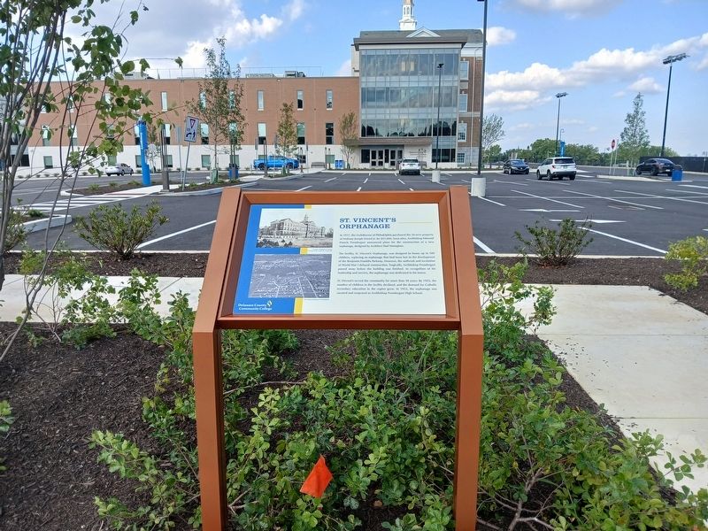
2. St. Vincent's Orphanage Marker
Photographed by Kate Clifford, August 6, 2026
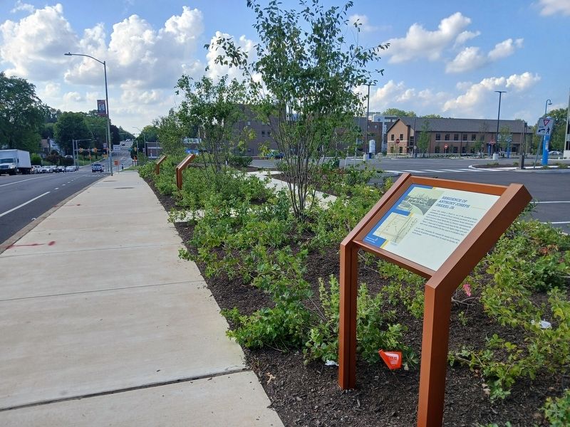
3. Interpretive signs to north
Credits. This page was last revised on August 11, 2026. It was originally submitted on August 11, 2026, by Kate Clifford of Lansdowne, Pennsylvania. This page has been viewed 19 times since then. Photos: 1, 2, 3. submitted on August 11, 2026, by Kate Clifford of Lansdowne, Pennsylvania. • Andrew Ruppenstein was the editor who published this page.
