Downtown Yonge in Toronto, Ontario — Central Canada (North America)
"Old" City Hall
⎯⎯⎯
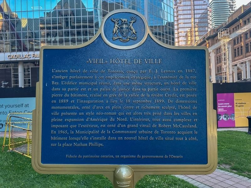
«Vieil» Hôtel de Ville


City Hall was designed in 1887 by E. J. Lennox to fit this central site at the head of Bay Street. In one structure, these municipal buildings combined a City Hall, in the east portion, and Court-house in the west. The building, constructed mostly of Credit River Valley sandstone, was begun in 1889 but not opened until September 18, 1899. Massive, round-arched, and richly carved, it is in the Romanesque Revival style then popular in expanding cities throughout North America. The interior, as complex and monumental as the exterior, includes a large stained glass window by Robert McCausland. The building was acquired by the Municipality of Metropolitan Toronto in 1965, when the City moved to a new City Hall on the adjacent City Square.
this page online
Erected by Archaeological and Historic Sites Board, Ministry of Colleges and Universities.
Topics and series. This historical marker is listed in these topic lists: Architecture • Government & Politics. In addition, it is included in the Canada, Ontario Heritage Trust series list. A significant historical date for this entry is September 18, 1899.
Location. 43° 39.138′ N, 79° 22.862′ W. Marker is in Toronto, Ontario. It is in Downtown Yonge. It is at the intersection of Queen Street West and James Street, on the right when traveling west on Queen Street West. Touch for map. Marker is at or

cmh2315fl via Flickr (CC BY-NC 2.0), August 1, 2017
2. "Old" City Hall / «Vieil» Hôtel de Ville Marker
Marker is in lower right corner.

Regionally, this marker is in Greater Toronto and on the Golden Horseshoe. It is also in Central Canada. Globally, it is in North America, on the Great Lakes, in the Western Hemisphere, in the Western World, and in the Anglosphere. Historically, it finds itself in what was once a British colony, the Viceroyalty of New France, the Haudenosaunee (Iroquois) Confederacy, and Rupert’s Land.
Other nearby markers. At least 8 other markers are within walking distance of this marker: The Santa Claus Parade / La Parade du Père Noël (a few steps from this marker); R. C. Harris (within shouting distance of this marker); Old City Hall Cenotaph (within shouting distance of this marker); Old City Hall / Ancien hôtel de ville (within shouting distance of this marker); The Bay Queen Street Store / Le Magasin la Baie de la Rue Queen (about 90 meters away, measured in a direct line); Public Health in Toronto (about 90 meters away); Salvation Army Territorial Headquarters (about 120 meters away); Freedom Arches / Les Arches de la Liberté (about 180 meters away). Touch for a list and map of all markers in Toronto.
Also see . . . Old City Hall (Toronto). Wikipedia entry on the historic complex. (Submitted on April 22, 2022, by Duane and Tracy Marsteller of Murfreesboro, Tennessee.)
Photographed by J.T. Lambrou, August 4, 2026
3. «Vieil» Hôtel de Ville side of the marker
Credits. This page was last revised on August 12, 2026. It was originally submitted on April 22, 2022, by Duane and Tracy Marsteller of Murfreesboro, Tennessee. This page has been viewed 274 times since then and 52 times this year. Last updated on August 11, 2026, by J.T. Lambrou of New Boston, Michigan. Photos: 1, 2. submitted on April 22, 2022, by Duane and Tracy Marsteller of Murfreesboro, Tennessee. 3. submitted on August 11, 2026, by J.T. Lambrou of New Boston, Michigan. • Devry Becker Jones was the editor who published this page.
