South Newport News , Virginia — The American South (Mid-Atlantic)
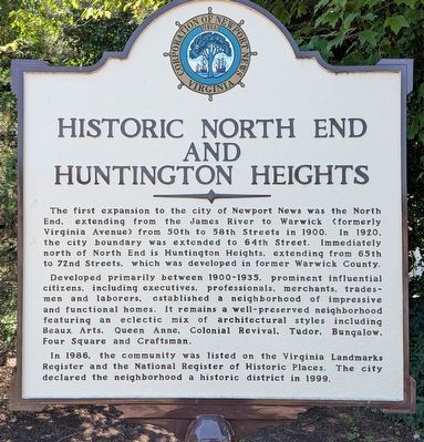
Historic North End And Huntington Heights
Photographed by Evan Dwyer, June 12, 2026
1. Historic North End And Huntington Heights Marker
Developed primarily between 1900-1935, prominent influential citizens, including executives, professionals, merchants, tradesmen and laborers, established a neighborhood of impressive and functional homes. It remains a well-preserved neighborhood featuring an eclectic mix of architectural styles including Beaux Arts, Queen Anne, Colonial Revival, Tudor, Bungalow, Four Square and Craftsman.
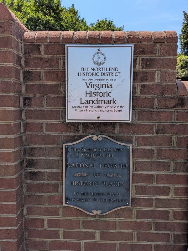
In 1986, the community was listed on the Virginia Landmarks Register and the National Register of Historic Places. The city declared the neighborhood a historic district in 1999.
Erected by Corporation of Newport News Virginia.
Topics. This historical marker is listed in these topic lists: Architecture • Government & Politics. A significant historical year for this entry is 1900.
Location. 37° 0.606′ N,
this page online

Regionally, this marker is on Virginia’s Peninsula, in Hampton Roads, in Coastal Virginia, and in the Hampton Roads Metropolitan Area. It is also in the American South, specifically in the Upper South, in the Tidewater, and on the Eastern Seaboard. Globally, it is in the North Atlantic Region, North America, the Western Hemisphere, the Western World, and the Anglosphere. Historically, it finds itself in what was once the territory of the Mississippian Culture, one of the original Thirteen Colonies, one of the Confederate States of America, and the Antebellum South.
Other nearby markers. At least 8 other markers are within walking distance of this marker: Camp Hill and Camp Alexander (approx. 0.2 miles away); Consolidation (approx.
Photographed by Evan Dwyer, June 12, 2026
2. Historic North End And Huntington Heights Marker
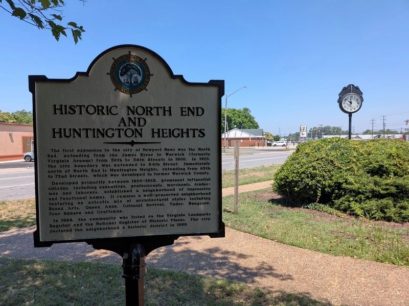
View northwest, with Huntington Avenue in the background.
Another marker is no longer nearby. Camp Hill (was within shouting distance of this marker but has been confirmed missing).
Also see . . . North End Historic District - Department of Historic Resources. DHR nomination form and detail of the structures in the historic district. (Submitted on August 11, 2026, by Evan Dwyer of Richmond, Virginia.)
Photographed by Evan Dwyer, June 12, 2026
3. Huntington Park Square
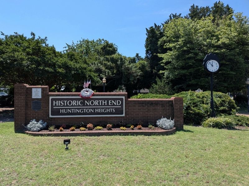
The marker is visible at back right, by the treeline.
Photographed by Evan Dwyer, June 12, 2026
4. North End Historic District Markers
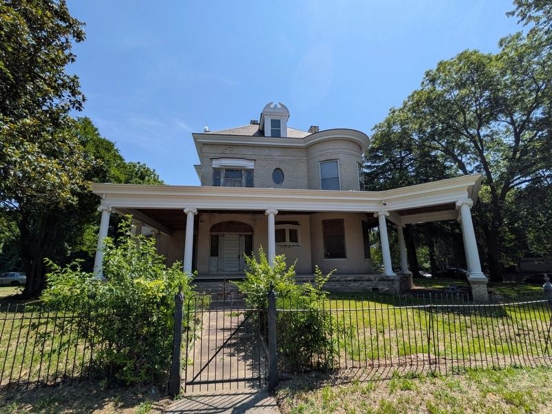
Photographed by Evan Dwyer, June 12, 2026
5. Walter Post House
One of the most notable buildings in the North End district is the 1902 Walter A. Post House. Post was the first resident President of Newport News Shipbuilding & Dry Dock Company, as well as the first mayor of Newport News.
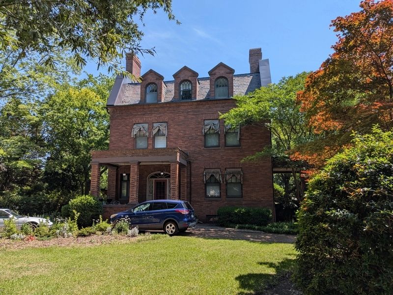
Photographed by Evan Dwyer, June 12, 2026
6. Homer L. Ferguson House
Just north of the Post house is another notable home, built in 1906. This house was the residence of Homer L. Ferguson House, the second President of Newport News Shipbuilding and Drydock Company - a post he held through both world wars, from 1915-1946.
Credits. This page was last revised on August 11, 2026. It was originally submitted on August 11, 2026, by Evan Dwyer of Richmond, Virginia. This page has been viewed 13 times since then. Photos: 1, 2, 3, 4, 5, 6. submitted on August 11, 2026, by Evan Dwyer of Richmond, Virginia.
