Picton in Prince Edward County, Ontario — Central Canada (North America)
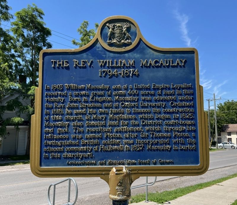
The Rev. William Macauley
1794-1874
Photographed by Tim Boyd, July 31, 2026
1. The Rev. William Macauley Marker
Erected 1963 by Archeological and Historical Sites Board of Ontario.
Topics and series. This historical marker is listed in these topic lists: Religion & Religious Structures • Settlements & Settlers. In addition, it is included in the Canada, Ontario Heritage Trust series list. A significant historical year for this entry is 1803.
Location. 44° 0.424′ N, 77° 7.939′ W. Marker is in Picton, Ontario, in Prince Edward County. It is at the intersection of Church Street and Union Street,
this page online

Regionally, this marker is in Southeastern Ontario. It is also in Central Canada. Globally, it is in North America, on the Great Lakes, in the Western Hemisphere, in the Western World, and in the Anglosphere. Historically, it finds itself in what was once a British colony, the Viceroyalty of New France, the Haudenosaunee (Iroquois) Confederacy, and Rupert’s Land.
Other nearby markers. At least 8 other markers are within walking distance of this marker: Macaulay Heritage Park (about 90 meters away, measured in a direct line); The County Buildings (approx. 0.6 kilometers away); North American Hotel (approx. 0.6 kilometers away); Bank of Montreal (approx. 0.6 kilometers away); The Hastings and Prince Edward Regiment (approx. 0.7 kilometers away); Welcome to the Armoury (approx. 0.7 kilometers away); John A. Macdonald in Hallowell (approx. 0.8 kilometers away); The “Conference Church” (approx. one kilometer away). Touch for a list and map of
Photographed by Tim Boyd, July 31, 2026
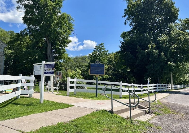
2. The Rev. William Macauley Marker
Photographed by Tim Boyd, July 31, 2026
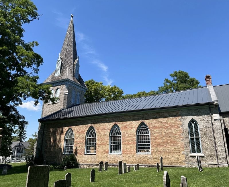
3. The Church of St. Mary Magdalene in 2026
Photographed by Tim Boyd, July 31, 2026
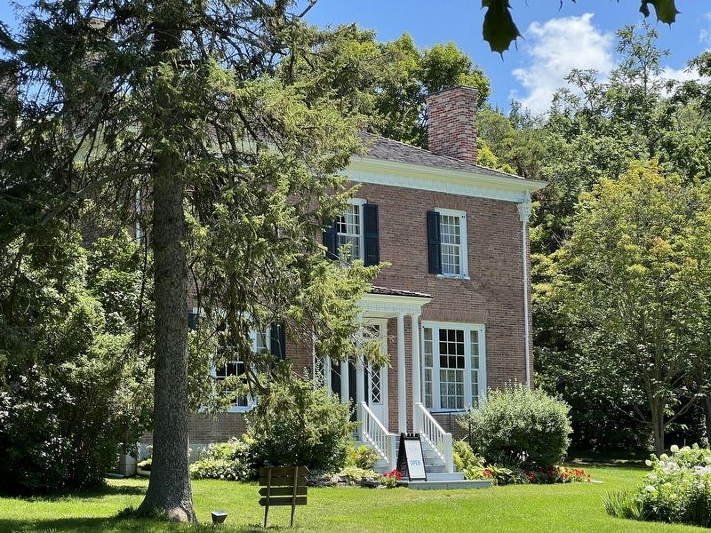
4. Macauley house in 2026
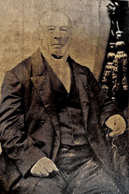
5. The Rev. William Macauley ca 1870
(public domain)
Credits. This page was last revised on August 13, 2026. It was originally submitted on August 12, 2026, by Tim Boyd of Hamilton, Ontario. This page has been viewed 18 times since then. Photos: 1, 2, 3, 4, 5. submitted on August 12, 2026, by Tim Boyd of Hamilton, Ontario. • Andrew Ruppenstein was the editor who published this page.
