Keyser in Mineral County, West Virginia — The American South (Appalachia)
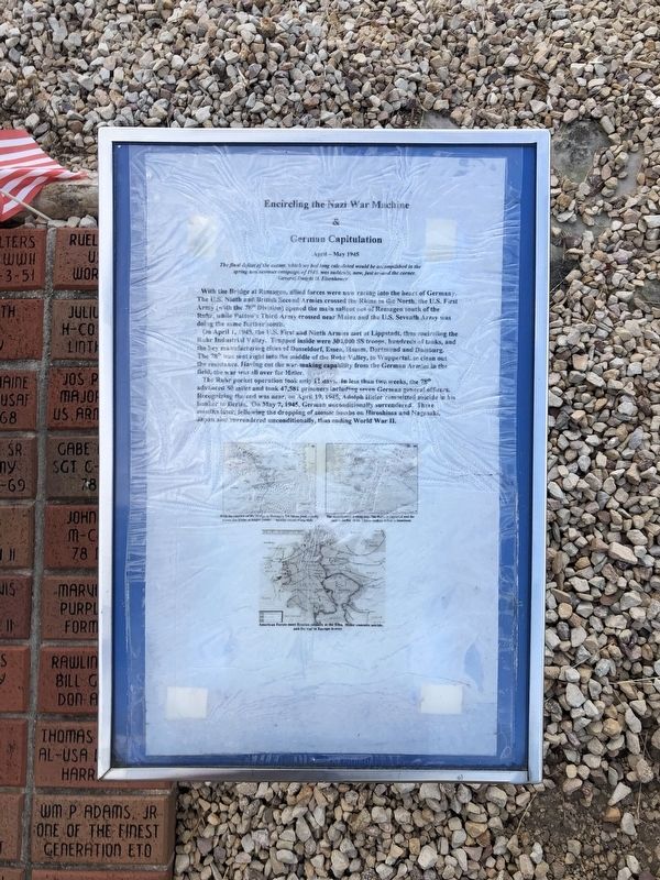
Encircling the Nazi War Machine & German Capitulation
April - May 1945
Photographed by Devry Becker Jones (CC0), July 12, 2020
1. Encircling the Nazi War Machine & German Capitulation Marker
The final defeat of the enemy, which we had long calculated would be accomplished in the spring and summer campaign of 1945, was suddenly, now, just around the corner.
General Dwight D. Eisenhower
With the Bridge at Remagen, allied forces were now racing into the heart of Germany. The U.S. Ninth and British Second Armies crossed the Rhine in the North, the U.S. First Army (with the 78th Division) opened the main salient out of Remagen south of the Ruhr, while Patton's Third Army crossed near Mainz and the U.S. Seventh Army was doing the same further south.
On April 1, 1945 the U.S. First and Ninth Armies met at Lippstadt, thus encircling the Ruhr Industrial Valley. Trapped inside were 300,000 SS troops, hundreds of tanks, and the key manufacturing cities of Dusseldorf, Essen, Hamm, Dortmund and Duisburg. The 78th was sent right into the middle of the Ruhr Valley, to Wuppertal, to clean out the resistance. Having cut the war-making capability from the German Armies in the field, the war was all over for Hitler.
The Ruhr pocket operation took only 11 days. In less than two weeks, the 78th advanced 50 miles and
this page online
Topics and series. This historical marker is listed in this topic list: War, World II. In addition, it is included in the Former U.S. Presidents: #34 Dwight D. Eisenhower series list. A significant historical date for this entry is April 1, 1945.
Location. This marker has been replaced by another marker nearby. It was located near 39° 26.386′ N, 78° 58.62′ W. Marker was in Keyser, West Virginia, in Mineral County. It was on East Piedmont Street (West Virginia Route 46) just west of North Davis Street, on the left when traveling west. Touch for map. Marker was at or near this postal address: 31 E Piedmont St, Keyser WV 26726, United States of America. Touch for directions.

Regionally, this marker was in the Eastern Panhandle. It was also in the American South, specifically
July 12, 2020
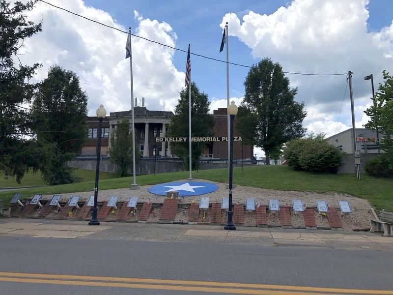
2. Ed Kelley Memorial Plaza
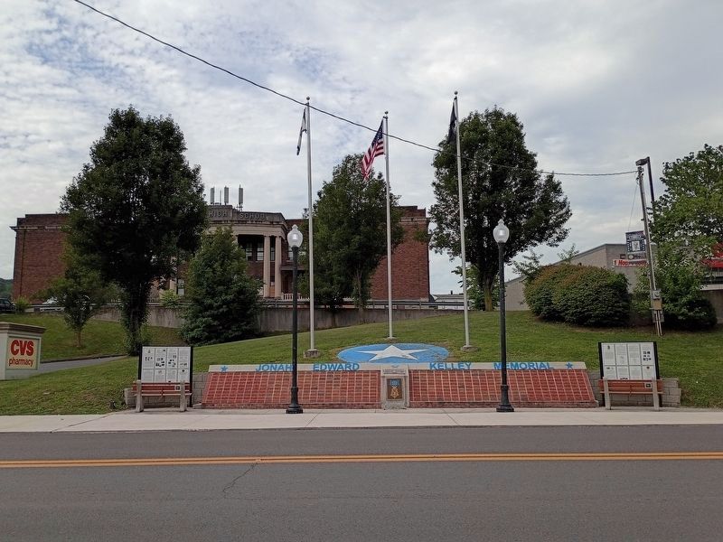
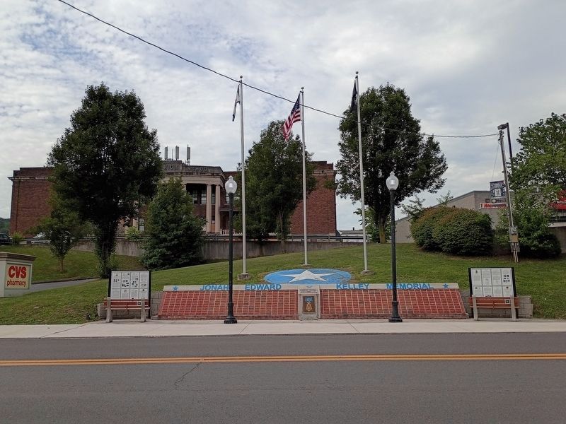
Other nearby markers. At least 3 other markers are within walking distance of this location: The Medal of Honor (here, next to this marker); Jonah Edward Kelley (here, next to this marker); The Ed Kelley Memorial Plaza (a few steps from this marker). Touch for a list and map of all markers in Keyser.
Other markers no longer nearby. The Bridge at Remagen (was here, next to this marker but has been replaced with another marker now near it); a different marker also named The Bridge at Remagen (was here, next to this marker but has been replaced with another marker now near it); a different marker also named The Bridge at Remagen (was here, next to this marker but has been replaced with another marker now near it); The Aftermath of Kesternich / Germans Retreat (was here, next to this marker but has been replaced with another marker now near it); The Battle for Kesternich
Photographed by Craig Doda, August 1, 2026
3. Encircling the Nazi War Machine & German Capitulation Marker
Additional commentary.
1. Adolf Hitler's date of suicide - correction
Contrary to the marker's indicated date of April 19th, Hitler committed
Photographed by Craig Doda, August 1, 2026
4. Encircling the Nazi War Machine & German Capitulation Marker
— Submitted July 14, 2020, by Andrew Ruppenstein of Lamorinda, California.
Credits. This page was last revised on August 20, 2026. It was originally submitted on July 14, 2020, by Devry Becker Jones of Washington, District of Columbia. This page has been viewed 327 times since then and 36 times this year. Last updated on August 12, 2026, by Craig Doda of Napoleon, Ohio. Photos: 1. submitted on July 14, 2020, by Devry Becker Jones of Washington, District of Columbia. 2. submitted on July 14, 2020. 3, 4. submitted on August 12, 2026, by Craig Doda of Napoleon, Ohio.
