Keyser in Mineral County, West Virginia — The American South (Appalachia)
Regaining the Initiative
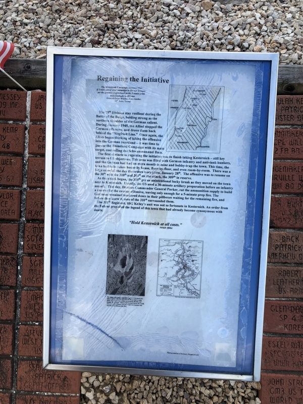
The 78th Division stay resilient during the Battle of the Bulge, holding strong as the northern shoulder of the German salient. During January 1945, the Allied stopped the German offensive, and drove them back behind the "Siegfried Line." Once again, the Allies began thinking of taking the offensive into the German heartland — it was time to pursue the Rhineland Campaign with its main target, controlling the Schwammanauel Dam.The Rhineland Campaign, January 1945 If I were asked what campaign in the war brought me the greatest professional pride, I would point unhesitatingly to this one.
General Omar Bradley, Commander, 12th Army Group
The first obstacle in regaining the initiative was to finish taking Kesternich — still key terrain to US objectives. This area was filled with German infantry and anti-tank bunkers, and the German had had an extra month to mine and bobby-trap the town. This time, the town had to be taken house-by house, floor-by-floor, and even room-by-room. There was a large snowfall the day the orders were given, January 38th. The offensive was to resume on the 30th with the 310th and 311th
this page online
The 311th Regiment, SSG Kelley's unit was not so fortunate in Kesternich. An order from the Fuhrer propelled the legend of this town that had already become synonymous with death:
Adolph Hitler
Topics. This historical marker is listed in this topic list: War, World II. A significant historical month for this entry is January 1945.
Location. This marker has been replaced by another marker nearby. It was located near 39° 26.383′ N, 78° 58.615′ W. Marker was in Keyser, West Virginia, in Mineral County. It was on West Piedmont Street (West Virginia Route 46) just west of North Davis
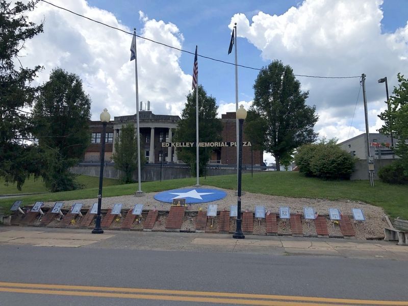
July 12, 2020
2. Ed Kelley Memorial Plaza

Regionally, this marker was in the Eastern Panhandle. It was also in the American South, specifically in the Upper South, in Appalachia, and specifically in Northern Appalachia. Globally, it was in North America, the Western Hemisphere, the Western World, and the Anglosphere. Historically, it found itself in what was once the territory of the Mississippian Culture.
Other nearby markers. At least 3 other markers are within walking distance of this location: Jonah Edward Kelley (here, next to this marker); a different marker also named The Medal of Honor (a few steps from this marker); The Ed Kelley Memorial Plaza (a few steps from this marker). Touch for a list and map of all markers in Keyser.
Other markers no longer nearby. The Battle of the Bulge (was here, next to this marker but has been replaced with another marker now near it); The First Battle of Kesternich (was here, next to this marker but has been replaced with another marker
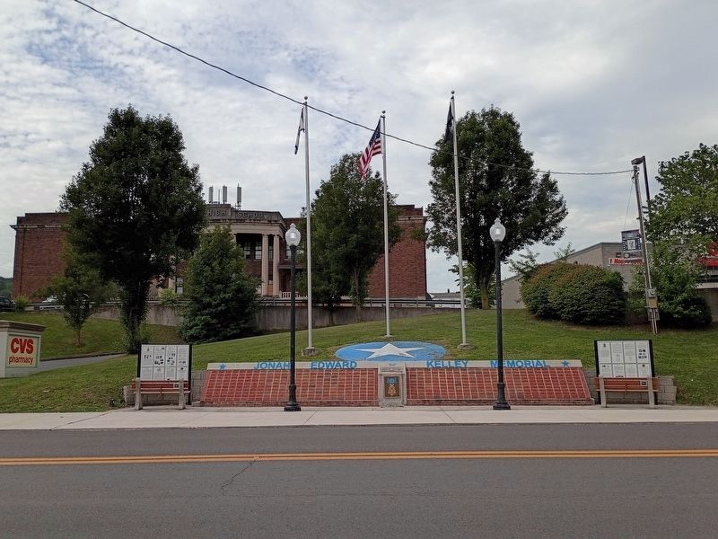
Photographed by Craig Doda, August 1, 2026
3. Ed Kelley Memorial Plaza
Credits. This page was last revised on August 12, 2026. It was originally submitted on July 14, 2020, by Devry Becker Jones of Washington, District of Columbia. This page has been viewed 235 times since then and 27 times this year. Last updated on August 12, 2026, by Craig Doda of Napoleon, Ohio. Photos: 1. submitted on July 14, 2020, by Devry Becker Jones of Washington, District of Columbia. 2. submitted on July 14, 2020. 3. submitted on August 12, 2026, by Craig Doda of Napoleon, Ohio.
