Keyser in Mineral County, West Virginia — The American South (Appalachia)
The First Battle of Kesternich
December 13-16, 1944
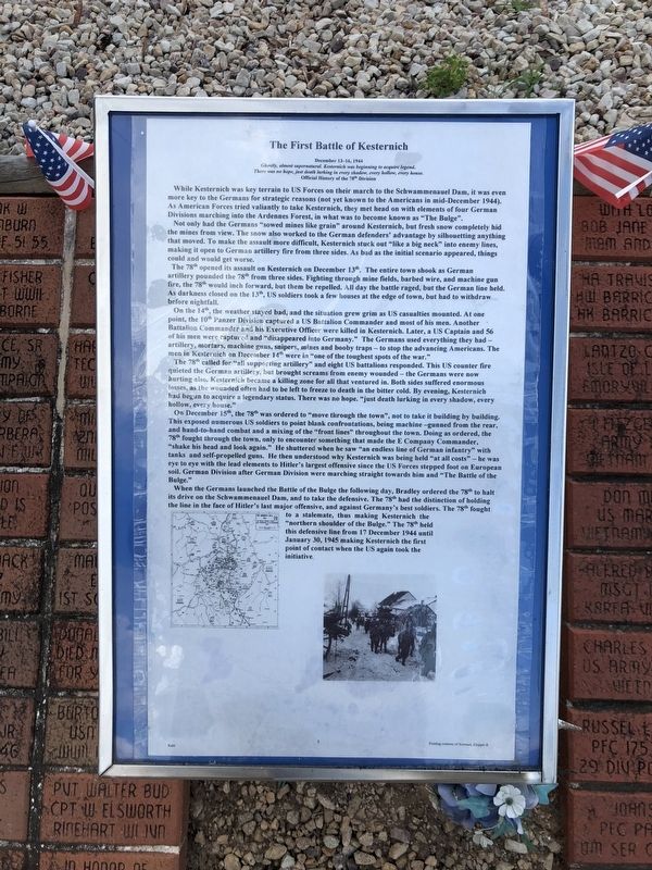
Ghostly, almost supernatural, Kesternich was beginning to acquire legend. There was no hope, just death lurking in every shadow, every hollow, every house.
Official History of the 78th Division
While Kesternich was key terrain to US Forces on their march to the Schwammenauel Dam, it was even more to the Germans for strategic reasons (not yet known to the Americans in mid-December 1944). As American Forces tried valiantly to take Kesternich, they met head on with elements of four German Divisions marching in to the Ardennes Forest, in what was to become known as "The Bulge".
Not only had the Germans "sowed mines like grain" around Kesternich, but fresh snow completely hid the mines from view. The snow also worked to the German defenders' advantage by silhouetting anything that moved. To make the assault more difficult, Kesternich stuck out "like a big neck" into enemy lines, making it open to German artillery fire from three sides. As bad as the initial scenario appeared, things could and would get worse.
The 78th opened its assault on Kesternich on December 13th. The entire town shook as German artillery pounded
this page online
On the 14th, the weather stayed bad, and the situation grew grim as US casualties mounted. At one point, the 10th Panzer Division captured a US Battalion Commander and most of his men. Another Battalion Commander and his Executive Officer were killed in Kesternich. Later, a US Captain and 56 of his men were captured and "disappeared into Germany." The Germans used everything they had — artillery, mortars, machine guns, snipers, mines and booby traps — to stop the advancing Americans. The men in Kesternich on December 14th were in "one of the toughest spots of the war."
The 78th called for "all supporting artillery" and eight US battalions responded. This US counter fire quieted the German artillery, but brought screams from enemy wounded — the Germans were now hurting also, Kesternich became a killing zone for all that
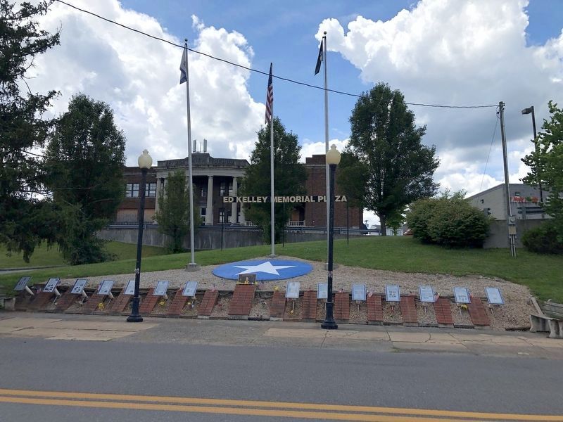
July 12, 2020
2. Ed Kelley Memorial Plaza
On December 15th, the 78th was ordered to "move through the town", not to take it building by building. This exposed numerous US soldiers to point blank confrontations, being machine —gunned from the rear, and hand-to-hand combat and a mixing of the "front lines" throughout the town. Doing as ordered, the 78th fought through the town, only to encounter something that made the E Company Commander, "shake his head and look again." He shuttered when he saw "an endless line of German infantry" with tanks and self-propelled guns. He then understood why Kesternich was being held "at all costs" — he ws eye to eye with the lead elements to Hitler's largest offensive since the US Forces stepped foot on European soil. German Division after German Division were marching straight towards him and "The Battle of the Bulge."
When the Germans launched the Battle of the Bulge
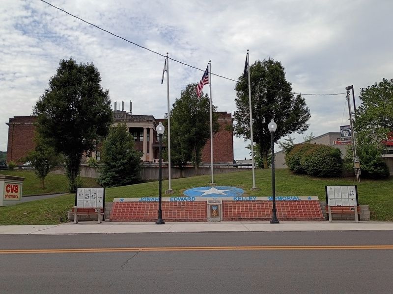
Photographed by Craig Doda, August 1, 2026
3. The First Battle of Kesternich Marker Site
Topics. This historical marker is listed in this topic list: War, World II. A significant historical date for this entry is January 30, 1945.
Location. This marker has been replaced by another marker nearby. It was located near 39° 26.382′ N, 78° 58.615′ W. Marker was in Keyser, West Virginia, in Mineral County. It was on West Piedmont Street just west of North Davis Street, on the left when traveling west. Touch for map. Marker was at or near this postal address: 32 N Davis St, Keyser WV 26726, United States of America. Touch for directions.

Regionally, this marker was in the Eastern Panhandle. It was also in the American South, specifically in the Upper South, in Appalachia, and specifically in Northern Appalachia. Globally, it was in North America, the Western Hemisphere, the Western World, and the Anglosphere. Historically, it found itself in what was once the territory of the Mississippian Culture.
Other nearby markers. At least 3 other markers are within walking distance of this location: Jonah Edward Kelley (here, next to this marker); The Ed Kelley Memorial Plaza (a few steps from this marker); a different marker also named The Medal of Honor (a few steps from this marker). Touch for a list and map of all markers in Keyser.
Other markers no longer nearby. The Battle of the Bulge (was here, next to this marker but has been replaced with another marker now near it); Key Terrain (was here, next to this marker but has been replaced with another marker now near it); Regaining the Initiative (was here, next to this marker but has been replaced with another marker now near it); D-Day (was here, next to this marker but has been replaced with another marker now near it); World War II (was here, next to this marker but has been replaced with another marker now near it); The Medal of Honor (was here, next to this marker but has been replaced with another marker now near it); Kelley Memorial Plaza (was here, next to this marker but has been replaced with another marker now near it); The Battle for Kesternich (was here, next to this marker but has been replaced with another marker now near it); The Aftermath of Kesternich / Germans Retreat (was here, next to this marker but has been replaced with another marker now near it); The Bridge at Remagen (was a few steps from this marker but has been replaced with another marker now near it); a different marker also named The Bridge at Remagen (was a few steps from this marker but has been replaced with another marker now near it); a different marker also named The Bridge at Remagen (was a few steps from this marker but has been replaced with another marker now near it); Encircling the Nazi War Machine & German Capitulation (was a few steps from this marker but has been replaced with another marker now near it).
Credits. This page was last revised on August 12, 2026. It was originally submitted on July 14, 2020, by Devry Becker Jones of Washington, District of Columbia. This page has been viewed 802 times since then and 97 times this year. Last updated on August 12, 2026, by Craig Doda of Napoleon, Ohio. Photos: 1. submitted on July 14, 2020, by Devry Becker Jones of Washington, District of Columbia. 2. submitted on July 14, 2020. 3. submitted on August 12, 2026, by Craig Doda of Napoleon, Ohio.
