Keyser in Mineral County, West Virginia — The American South (Appalachia)
World War II
Events of 1938 - 1944
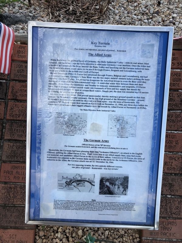
1938: Hitler annexes Austria, occupies Czechoslovakia
1939: Germans Blitzkrieg of Poland, Russia invades Finland
1940: Germany seizes, Denmark, Norway, France, Balkans
1941: Japan bombs Pearl Harbor. Germany invades Russia.
1942: Germany takes on Eastern Europe all the way to Stalingrad
1943: Heavy fighting in North Africa; Allies invade Sicily and Italy
1944: General Eisenhower is made Supreme Commander, Allied Expeditionary Force, and is given the following task:
"You will enter the Continent of Europe and undertake operations aimed at the heart of Germany and the destruction of her armed forces."
(Note the simple, straightforward language)
In June 1944, Germany maintained a strangle hold on most of Europe, controlling the area shown. The USA and its Allies mounted the largest invasion force the world has ever seen (2,876,000 men), assembling it along the southern coast of England. The world watched as the Allies prepared to bring all the hopes and power of free people the world over to one point — one stretch of sandy beaches— one moment in time. The event was truly one of historic and heroic proportions.
Weather,
this page online
Hollywood has captured the brilliant Allied diversions and the subsequent invasion of Normandy on June 6, 1944 in movies such as "The Longest Day" and Saving Private Ryan."
Topics and series. This historical marker is listed in these topic lists: Arts, Letters, Music • Entertainment • War, World II. In addition, it is included in the Former U.S. Presidents: #34 Dwight D. Eisenhower series list. A significant historical month for this entry is June 1944.
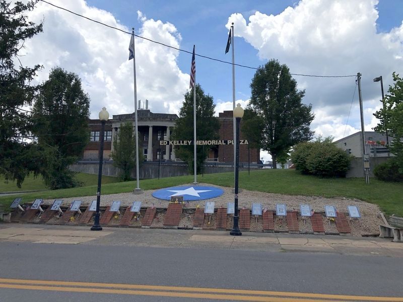
Location. This marker has been replaced by another marker nearby. It was located near 39° 26.381′ N, 78° 58.614′ W. Marker was in Keyser, West Virginia, in Mineral County. It was on West Piedmont Street (West Virginia Route 46) just west of North Davis Street, on the left when traveling west. Touch for map.
July 12, 2020
2. Ed Kelley Memorial Plaza

Regionally, this marker was in the Eastern Panhandle. It was also in the American South, specifically in the Upper South, in Appalachia, and specifically in Northern Appalachia. Globally, it was in North America, the Western Hemisphere, the Western World, and the Anglosphere. Historically, it found itself in what was once the territory of the Mississippian Culture.
Other nearby markers. At least 3 other markers are within walking distance of this location: Jonah Edward Kelley (here, next to this marker); The Ed Kelley Memorial Plaza (here, next to this marker); a different marker also named The Medal of Honor (a few steps from this marker). Touch for a list and map of all markers in Keyser.
Other markers no longer nearby. D-Day (was here, next to this marker but has been replaced with another marker now near it); Kelley Memorial Plaza (was here, next to this marker but has been replaced with another marker now near it); Key Terrain (was here, next to this marker but has been replaced with
Photographed by Craig Doda, August 1, 2026
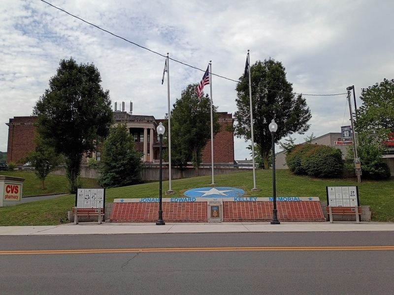
3. World War II Marker Site
Credits. This page was last revised on August 12, 2026. It was originally submitted on July 14, 2020, by Devry Becker Jones of Washington, District of Columbia. This page has been viewed 238 times since then and 30 times this year. Last updated on August 12, 2026, by Craig Doda of Napoleon, Ohio. Photos: 1. submitted on July 14, 2020, by Devry Becker Jones of Washington, District of Columbia. 2. submitted on July 14, 2020. 3. submitted on August 12, 2026, by Craig Doda of Napoleon, Ohio.
