Near Charles City in Charles City County, Virginia — The American South (Mid-Atlantic)
Binns Hall
Charles City County, Virginia
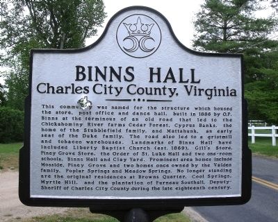
Photographed by Bernard Fisher, May 2, 2009
1. Binns Hall Marker
Erected by Charles City County.
Topics. This historical marker is listed in these topic lists: Landmarks • Notable Places. A significant historical year for this entry is 1886.
Location. Marker is missing. It was located near 37° 22.174′ N, 76° 59.358′ W.
this page online

Regionally, this marker was in Coastal Virginia. It was also in the American South, specifically in the Upper South, in the Tidewater, and on the Eastern Seaboard. Globally, it was in the North Atlantic Region, North America, the Western Hemisphere, the Western World, and the Anglosphere. Historically, it found itself in what was once the territory of the Mississippian Culture, one of the original Thirteen Colonies, one of the Confederate States of America, and the Antebellum South.
Other nearby markers. At least 8 other markers are within 3 miles of this location, measured as the crow flies: Piney Grove and Southalls (approx. 0.6 miles away); Piney Grove (approx. 0.6 miles away); Blanks Crossroads (approx. 0.9 miles away); President Tyler's Home (approx. 2.7 miles away); Sherwood Forest (approx. 2.9 miles away);
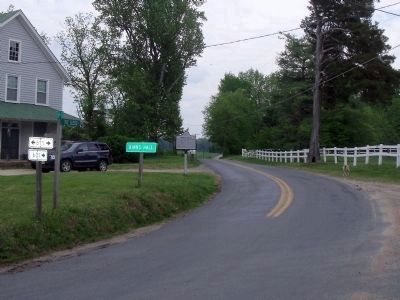
Photographed by Bernard Fisher, May 2, 2009
2. The Glebe Lane & N Liberty Church Road (facing east).
Beware of dog
Also see . . . Charles City County. Historical Markers. (Submitted on May 3, 2009.)
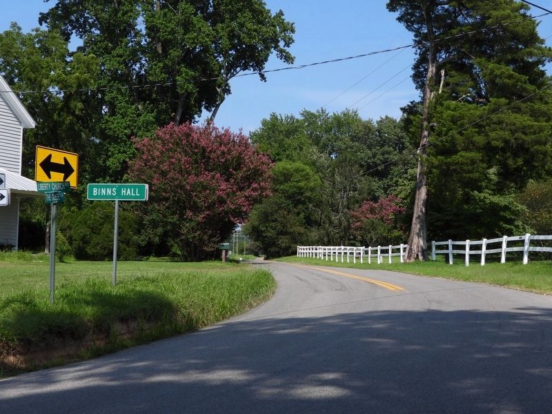
Photographed by Donald B. Caselli (Barry), August 12, 2026
3. Photo showing that this marker is missing
Credits. This page was last revised on August 13, 2026. It was originally submitted on May 3, 2009, by Bernard Fisher of Richmond, Virginia. This page has been viewed 2,115 times since then and 153 times this year. Last updated on August 13, 2026, by Donald B. Caselli (Barry) of Hopewell, Virginia. Photos: 1, 2. submitted on May 3, 2009, by Bernard Fisher of Richmond, Virginia. 3. submitted on August 13, 2026, by Donald B. Caselli (Barry) of Hopewell, Virginia.
