
Port Hope in Northumberland County, Ontario — Central Canada (North America)
Wesleyville Village Heritage
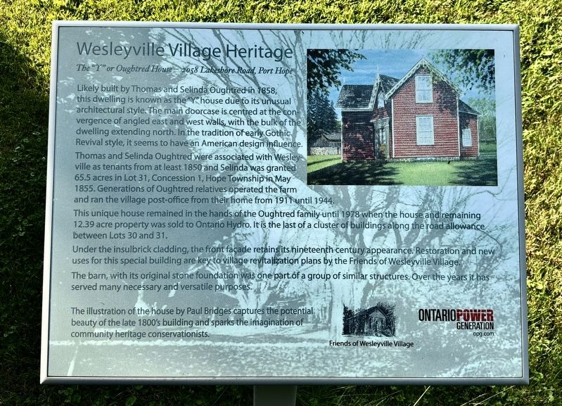
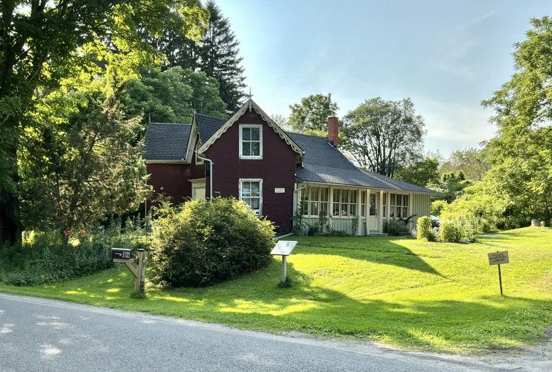
The "Y" or Oughtred House 2058 Lakesbore Road, Port Hope
Photographed by Tim Boyd, July 31, 2026
1. Wesleyville Village Heritage Marker
Thomas and Selinda Oughtred were associated with Wesleyville as tenants from at least 1850 and Selinda was granted 65.5 acres in Lot 31, Concession 1, Hope Township in May 1855. Generations of Oughtred relatives operated the farm and ran the village post-office from their home from 1911 until 1944 This unique house remained in the hands of the Oughtred family until 1978 when the house and remaining 12.39 acre property was sold to Ontario Hydro. It is the last of a cluster of buildings along the road allowance between Lots 30 and 31.
Under the insulbrick cladding, the front facade retains its nineteenth century appearance. Restoration and new uses for this special building are key to village revitalization plans by the Friends of Wesleyville Village.
The barn, with
this page online
The illustration of the house by Paul Bridges captures the potential beauty of the late 1800's building and sparks the imagination of community heritage conservationists.
Erected by Friends of Wesleyville Village, Ontario Power Generation.
Topics. This historical marker is listed in these topic lists: Architecture • Settlements & Settlers. A significant historical year for this entry is 1858.
Location. 43° 55.525′ N, 78° 24.948′ W. Marker is in Port Hope, Ontario, in Northumberland County. It is on Lakeshore Road 2.5 kilometers east of Wesleyville Road, on the right when traveling west. Touch for map. Marker is at or near this postal address: 2082 Lakeshore Road, Port Hope ON L1A 3V7, Canada. Touch for directions.

Regionally, this marker is in the Kawarthas Northumberland Area and in Eastern Ontario. It is also in Central Canada. Globally, it is in North America, on the Great Lakes, in the Western Hemisphere, in the Western World, and in the Anglosphere. Historically,
Photographed by Tim Boyd, July 31, 2026
2. Wesleyville Village Heritage Marker
Other nearby markers. At least 8 other markers are within 11 kilometers of this marker, measured as the crow flies: A different marker also named Wesleyville Village Heritage (within shouting distance of this marker); a different marker also named Wesleyville Village Heritage (within shouting distance of this marker); Sgt. Edward Edwin Dodds (approx. 9.7 kilometers away); Hope Chapel (approx. 9.7 kilometers away); The Eldorado Refinery / La Raffinerie Eldorado (approx. 9.9 kilometers away); The Little Station House (approx. 10.1 kilometers away); Thomas Curtis Clarke 1827-1901 (approx. 10.1 kilometers away); Cenotaph Plaque (approx. 10.2 kilometers away). Touch for a list and map of all markers in Port Hope.
Credits. This page was last revised on August 19, 2026. It was originally submitted on August 13, 2026, by Tim Boyd of Hamilton, Ontario. This page has been viewed 9 times since then. Photos: 1, 2. submitted on August 13, 2026, by Tim Boyd of Hamilton, Ontario. • Andrew Ruppenstein was the editor who published this page.
