
Port Hope in Northumberland County, Ontario — Central Canada (North America)
Wesleyville Village Heritage
Schoolhouse SS # 2 - 2028 Lakeshore Road, Port Hope
Photographed by Tim Boyd, July 31, 2026
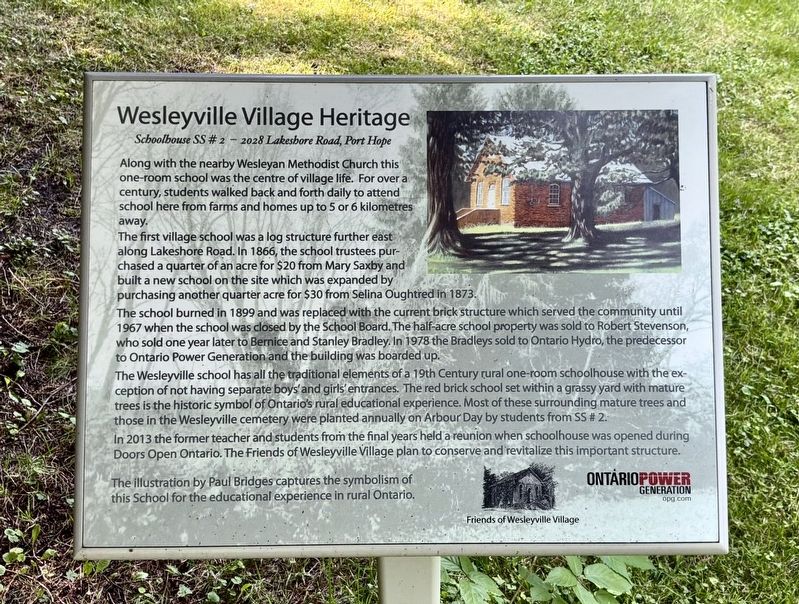
1. Wesleyville Village Heritage Marker
The first village school was a log structure further east along Lakeshore Road. In 1866, the school trustees purchased a quarter of an acre for $20 from Mary Saxby and built a new school on the site which was expanded by purchasing another quarter acre for $30 from Selina Oughtred in 1873.
The school burned in 1899 and was replaced with the current brick structure which served the community until 1967 when the school was closed by the School Board. The half-acre school property was sold to Robert Stevenson, who sold one year later to Bernice and Stanley Bradley In 1978 the Bradleys sold to Ontario Hydro, the predecessor to Ontario Power Generation and the building was boarded up.
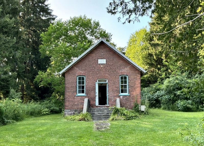
The Wesleyville school has all the traditional elements of a 19th Century rural one-room schoolhouse with the exception of not having separate boys and girls' entrances. The red brick school set within a grassy
this page online
In 2013 the former teacher and students from the final years held a reunion when schoolhouse was opened during Doors Open Ontario. The Friends of Wesleyville Village plan to conserve and revitalize this important structure. The illustration by Paul Bridges captures the symbolism of this School for the educational experience in rural Ontario.
Erected by Friends of Wesleyville Village/Ontario Power Generation.
Topics. This historical marker is listed in these topic lists: Architecture • Education. A significant historical year for this entry is 1866.
Location. 43° 55.507′ N, 78° 24.993′ W. Marker is in Port Hope, Ontario, in Northumberland County. It is on Lakeshore Road 2.5 kilometers east of Wesleyville Road, on the right when traveling west. Touch for map. Marker is at or near this postal address: 2082 Lakeshore Road, Port Hope ON L1A 3V7, Canada. Touch for directions.

Regionally, this marker
Photographed by Tim Boyd, July 31, 2026
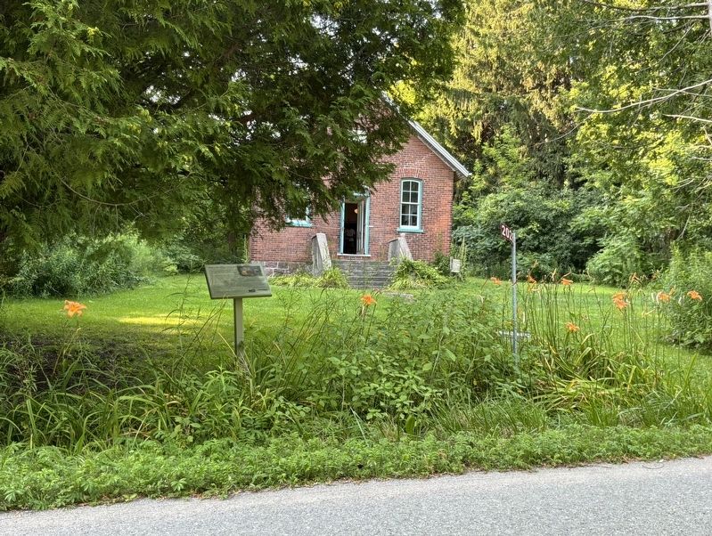
2. Wesleyville Village Heritage Marker
Other nearby markers. At least 8 other markers are within 11 kilometers of this marker, measured as the crow flies: A different marker also named Wesleyville Village Heritage (within shouting distance of this marker); a different marker also named Wesleyville Village Heritage (about 120 meters away, measured in a direct line); Sgt. Edward Edwin Dodds (approx. 9.7 kilometers away); Hope Chapel (approx. 9.8 kilometers away); The Eldorado Refinery / La Raffinerie Eldorado (approx. 10 kilometers away); The Little Station House (approx. 10.2 kilometers away); Thomas Curtis Clarke 1827-1901 (approx. 10.2 kilometers away); Cenotaph Plaque (approx. 10.2 kilometers away). Touch for a list and map of all markers in Port Hope.
Photographed by Tim Boyd, July 31, 2026
3. S.S. No. 2 Wesleyville in 2026
Credits. This page was last revised on August 15, 2026. It was originally submitted on August 13, 2026, by Tim Boyd of Hamilton, Ontario. This page has been viewed 12 times since then. Photos: 1, 2, 3. submitted on August 13, 2026, by Tim Boyd of Hamilton, Ontario. • Andrew Ruppenstein was the editor who published this page.
