Riverwalk District in Reno in Washoe County, Nevada — The American Mountains (Southwest)
Powning’s Addition Conservation District

Photographed by Douglass Halvorsen, August 7, 2026
1. Powning's Addition Conservation District Marker
Pillar Sponsors
Erected 2012.
Topics. This historical marker is listed in this topic list: Settlements & Settlers. A significant historical year for this entry is 1886.
Location. 39° 31.352′ N, 119° 49.271′ W. Marker is in Reno, Nevada, in Washoe County. It is in the Riverwalk District. It is at the intersection of Riverside Drive and Jones Street, on the right when traveling west on Riverside Drive. Touch for map. Marker is at or near this postal address: 629 Riverside Drive, Reno NV 89503, United States
this page online

Regionally, this marker is in the Sierra Nevada and in the Lake Tahoe Basin. It is also in the American Mountain West. Globally, it is in North America, the Western Hemisphere, the Western World, and the Anglosphere. Historically, it finds itself in what was once New Spain and also Mexico’s Alta California.
Other nearby markers. At least 8 other markers are within walking distance of this marker: The Coming of the Iron Horse (a few steps from this marker); About Your Journey... (a few steps from this marker); Fish of the Truckee River (a few steps from this marker); First Church of Christ, Scientist, Reno (about 600 feet away, measured in a direct line); Culture and History (about 800 feet away); McKinley Park School (approx. 0.2 miles away); The Humboldt Trail (approx. 0.2 miles away); Wingfield Park (approx. ¼ mile away). Touch for a list and map of all markers in Reno.
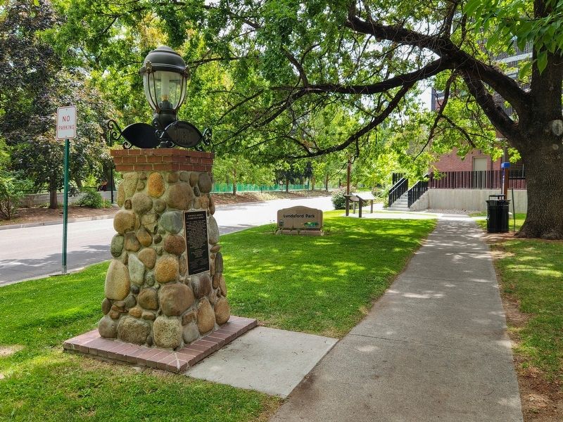
Photographed by Douglass Halvorsen, August 7, 2026
2. Powning’s Addition Conservation District Marker

Photographed by Douglass Halvorsen, August 7, 2026
3. Powning’s Addition Conservation District Marker
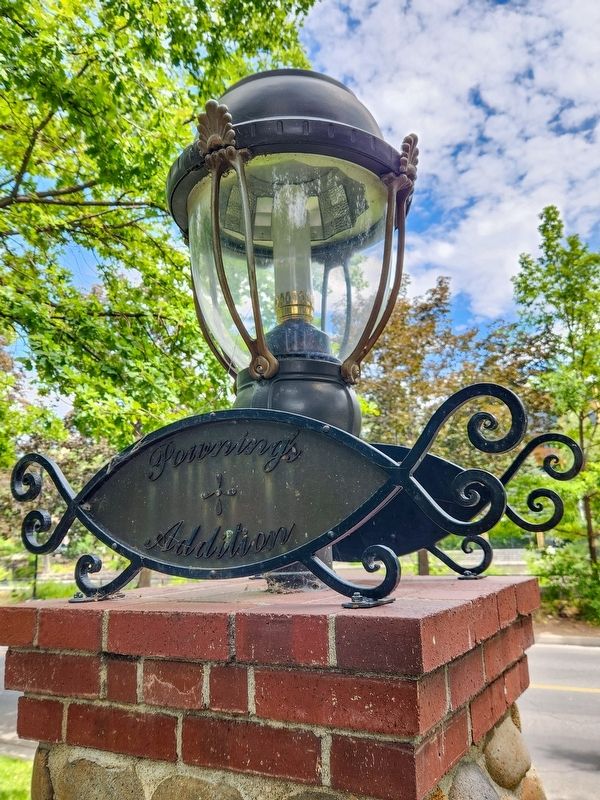
Photographed by Douglass Halvorsen, August 7, 2026
4. Powning’s Addition Pillar Light
Credits. This page was last revised on August 13, 2026. It was originally submitted on August 13, 2026, by Douglass Halvorsen of Klamath Falls, Oregon. This page has been viewed 15 times since then. Photos: 1, 2, 3, 4. submitted on August 13, 2026, by Douglass Halvorsen of Klamath Falls, Oregon. • Andrew Ruppenstein was the editor who published this page.
