Harrison Township near Lewisburg in Preble County, Ohio — The American Midwest (Great Lakes)
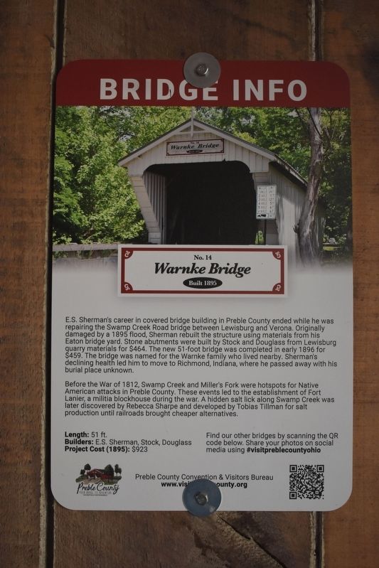
Warnke Bridge
No. 14
| — | Built 1895 | — |
Photographed by Richard Peterson, October 2, 2025
1. Warnke Bridge Marker
E.S. Sherman’s career in covered bridge building in Preble County ended while he was repairing the Swamp Creek Road bridge between Lewisburg and Verona. Originally damaged by a 1895 flood, Sherman rebuilt the structure using materials from his Eaton bridge yard. Stone abutments were built by Stock and Douglass from Lewisburg quarry materials for $464. The new 51-foot bridge was completed in early 1896 for $459. The bridge was named for the Warnke family who lived nearby. Sherman’s declining health led him to move to Richmond, Indiana, where he passed away with his burial place unknown.
Before the War of 1812, Swamp Creek and Miller’s Fork were hotspots for Native American attacks in Preble County. These events led to the establishment of Fort Lanier, a militia blockhouse during the war. A hidden salt lick along Swamp Creek was later discovered by Rebecca Sharpe and developed by Tobias Tillman for salt production until railroads brought cheaper alternatives.
Length: 51 ft.
Builders: E. S. Sherman, Stock, Douglass
Project cost (1895): $923
Erected by Preble County Convention & Visitors Bureau. (Marker Number 14.)
Topics and series. This historical marker is listed in this topic list: Bridges & Viaducts. In addition, it is included in the Covered Bridges series list. A significant historical year for this entry is 1895.
Location. 39° 52.418′ N, 84° 30.881′ W. Marker is near Lewisburg, Ohio, in Preble County. It is in Harrison Township. It is on Swamp Creek Road 0.2 miles east of Verona Road (County Road 36), on the right when traveling west. The marker is inside the covered bridge. Touch for map. Marker is at or near this postal address: 7096 Swamp Creek Rd, Lewisburg OH 45338, United States of America. Touch for directions.

Regionally, this marker is in the Till Plains. It is also in the
this page online
Other nearby markers. At least 8 other markers are within 3 miles of this marker, measured as the crow flies: Euphemia (approx. 1.8 miles away); Korea and Viet Nam Memorial (approx. 2.1 miles away); Joe Freedman Memorial Gazebo (approx. 2.2 miles away); Veterans Memorial (approx. 2.4 miles away); Lewisburg Fire/EMS 9/11 Memorial (approx. 2.4 miles away); WWII Memorial (approx. 2½ miles away); Welcome To The Wolf Creek Trail (approx. 2.6 miles away); Pete's Station (approx. 2.6 miles away). Touch for a list and map of all markers in Lewisburg.
Also see . . . Covered Bridges in Preble County, Ohio. On the Preble County Convention & Visitor's Bureau website.
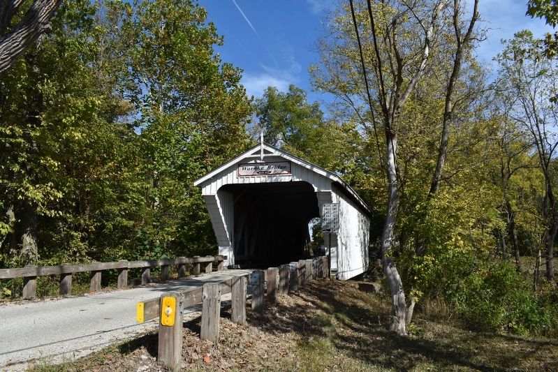
Span the ages by touring Preble’s eight covered bridges. The county was once home to 29 covered bridges built from 1829 to 1896, including the Christman Covered Bridge(Submitted on August 14, 2026, by Richard Peterson of East Windsor, New Jersey.)in Eaton, and the Geeting Covered Bridge in Lewisburg, which are still in use.Photographed by Richard Peterson, October 2, 20252. Warnke Covered Bridge
Photographed by Richard Peterson, October 2, 2025
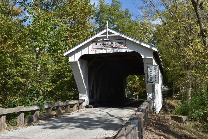
3. Warnke Covered Bridge
Photographed by Richard Peterson, October 2, 2025
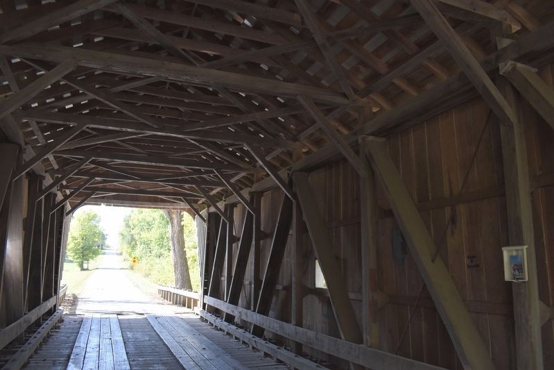
4. Interior of Warnke Bridge
Credits. This page was last revised on August 15, 2026. It was originally submitted on August 14, 2026, by Richard Peterson of East Windsor, New Jersey. This page has been viewed 16 times since then. Photos: 1, 2, 3, 4. submitted on August 14, 2026, by Richard Peterson of East Windsor, New Jersey. • Devry Becker Jones was the editor who published this page.
