Southside Park in Sacramento in Sacramento County, California — The American West (Pacific Coastal)
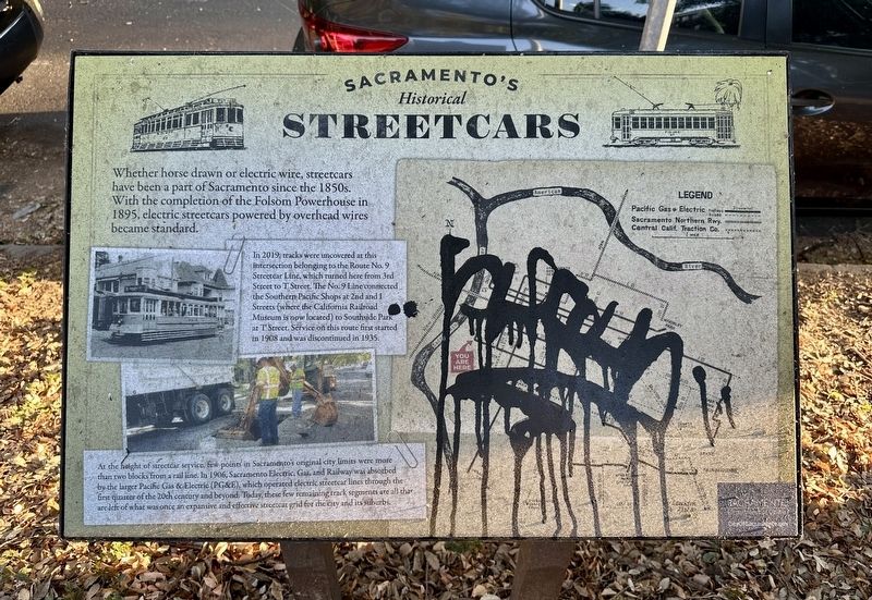
Sacramento’s Historical Streetcars
Photographed by Andrew Ruppenstein, August 13, 2026
1. Sacramento’s Historical Streetcars Marker
Whether horse drawn or electric wire, streetcars have been a part of Sacramento since the 1850s. With the completion of the Folsom Powerhouse in 1895, electric streetcars powered by overhead wires became standard.
In 2019, tracks were uncovered at this intersection belonging to the Route No. 9 Streetcar Line, which turned here from 3rd Street to T Street. The No. 9 Line connected the Southern Pacific Shops at 2nd and 1 Streets (where the California Railroad Museum is now located) to Southside Park at T Street. Service on this route first started in 1908 and was discontinued in 1935.
At the height of streetcar service, few points in Sacramento's original city limits were more than two blocks from a rail line. In 1906, Sacramento Electric, Gas, and Railway was absorbed by the larger Pacific Gas & Electric (PG&E), which operated electric streetcar lines through the first quarter of the 20th century and beyond. Today, these few remaining track segments are all that are left of what was once an expansive and effective streetcar grid for the city and its suburbs.
Erected by City of Sacramento.
Topics.
this page online
Location. 38° 34.311′ N, 121° 30.442′ W. Marker is in Sacramento, California, in Sacramento County. It is in Southside Park. It is at the intersection of T Street and 3rd Street on T Street. Touch for map. Marker is at or near this postal address: 300 T Street, Sacramento CA 95811, United States of America. Touch for directions.

Regionally, this marker is in the Sacramento Valley and specifically in the Central Valley. It is also on the American Pacific Coast. Globally, it is in North America, on the Ring of Fire, on the Pacific Rim, in the Western Hemisphere, in the Western World, and in the Anglosphere. Historically, it finds itself in what was once New Spain and also Mexico’s Alta California.
Other nearby markers. At least 8 other markers are within walking distance of this marker: California’s First Passenger Railroad (approx. 0.2 miles away); R Street Bridge (approx. ¼ mile away); Transportation by Water and Land (approx. 0.3 miles away); Miguel Hidalgo y Costilla (approx. 0.3 miles away); Rededication of El Centro Mexicano Plaque
Photographed by Andrew Ruppenstein, August 13, 2026
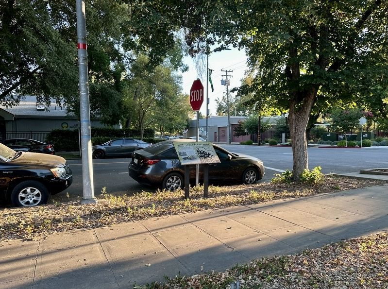
2. Sacramento’s Historical Streetcars Marker - wide viewing, looking at 3rd Street x T Street
Also see . . . Streetcars in Sacramento (Wikipedia). Overview:
The use of streetcars in Sacramento began with horse car lines built in the city in 1870. Several companies operated electric streetcars in the city after 1890 until operations were consolidated under Pacific Gas & Electric starting in 1906. Like most American cities, automobile adoption and deferred maintenance led to all streetcar lines being converted to buses by 1947. A second-generation light rail system began operations in 1987 as RT Metro, later rebranded as SacRT light rail, which includes street running segments similar to traditional streetcar operations.(Submitted on August 15, 2026.)
Credits. This page was last revised on August 15, 2026. It was originally submitted on August 15, 2026, by Andrew Ruppenstein of Lamorinda, California. This page has been viewed 11 times since then. Photos: 1, 2. submitted on August 15, 2026, by Andrew Ruppenstein of Lamorinda, California.
