Dorchester in Thames Centre in Middlesex County, Ontario — Central Canada (North America)
St. Peter’s Anglican Church
1854
| — | Middlesex Heritage Trail | — |
Photographed by Tim Boyd, August 14, 2026
1. St. Peter’s Anglican Church Marker
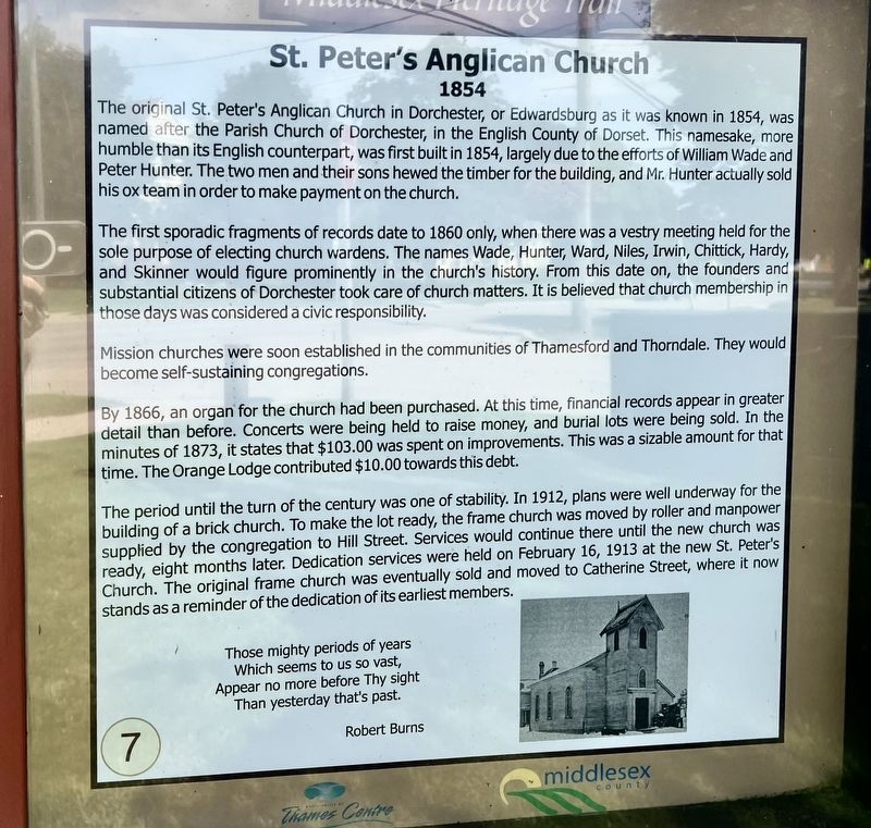
The first sporadic fragments of records date to 1860 only, when there was a vestry meeting held for the sole purpose of electing church wardens. The names Wade, Hunter, Ward, Niles, Irwin, Chittick, Hardy, and Skinner would figure prominently in the church's history. From this date on, the founders and substantial citizens of Dorchester took care of church matters. It is believed that church membership in those days was considered a civic responsibility.
Mission churches were soon established in the communities of Thamesford and Thorndale. They would become self-sustaining congregations.
By 1866, an organ for the church had been purchased. At this time, financial
this page online
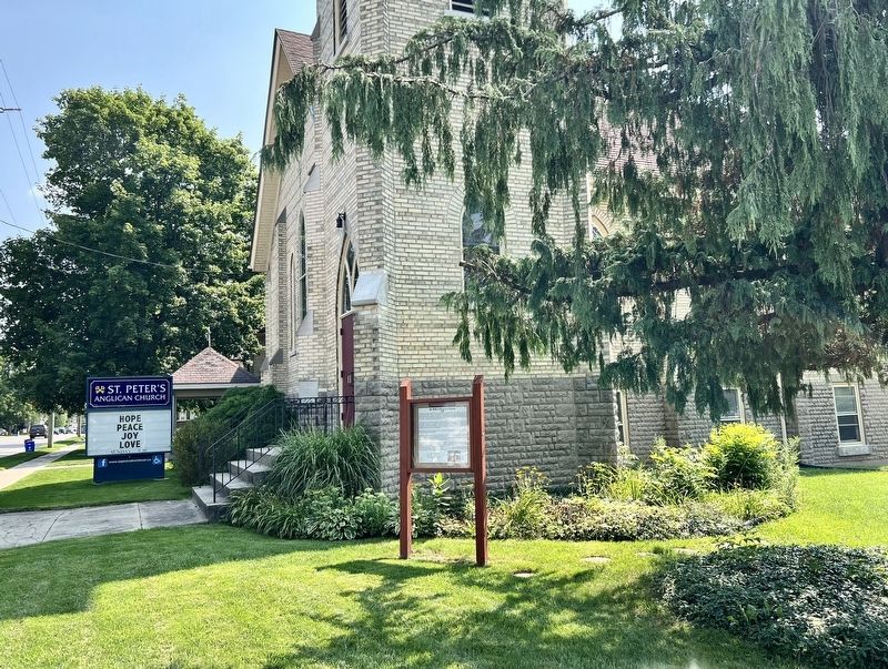
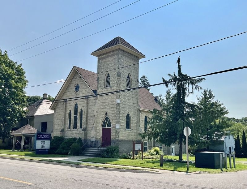
The period until the turn of the century was one of stability. In 1912, plans were well underway for the building of a brick church. To make the lot ready, the frame church was moved by roller and manpower supplied by the congregation to Hill Street. Services would continue there until the new church was ready, eight months later. Dedication services were held on February 16, 1913 at the new St. Peter's Church. The original frame church was eventually sold and moved to Catherine Street, where it now stands as a reminder of the dedication of its earliest members.
Those mighty periods of years
Which seems to us so vast,
Appear no more before Thy sight
Than yesterday that's past.
Erected by Thames Centre/Middlesex County. (Marker Number 7.)
Topics. This historical marker is listed in this topic list: Religion & Religious Structures. A significant historical year for this entry is 1854.
Location. 42° 59.36′ N,
Photographed by Tim Boyd, August 14, 2026
2. St. Peter’s Anglican Church Marker

Regionally, this marker is in the Southwest Ontario Area and in Southwestern Ontario. It is also in Central Canada. Globally, it is in North America, the Western Hemisphere, the Western World, and the Anglosphere. Historically, it finds itself in what was once a British colony, the Viceroyalty of New France, the Haudenosaunee (Iroquois) Confederacy, and Rupert’s Land.
Other nearby markers. At least 8 other markers are within 10 kilometers of this marker, measured as the crow flies: D-Day (approx. 5.6 kilometers away); Battle of Hong Kong (approx. 5.6 kilometers away); Dieppe Raid (approx. 5.6 kilometers away); Netherlands Liberation Bell (approx. 5.7 kilometers away); Liberation of the Netherlands (approx. 5.7 kilometers
Photographed by Tim Boyd, August 14, 2026
3. St. Peter’s Anglican Church Marker
Credits. This page was last revised on August 15, 2026. It was originally submitted on August 15, 2026, by Tim Boyd of Hamilton, Ontario. This page has been viewed 9 times since then. Photos: 1, 2, 3. submitted on August 15, 2026, by Tim Boyd of Hamilton, Ontario. • Andrew Ruppenstein was the editor who published this page.
