Hamilton Road in London in Middlesex County, Ontario — Central Canada (North America)
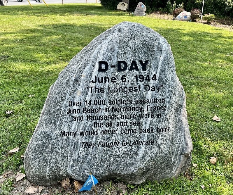
D-Day
June 6, 1944
| — | ”The Longest Day” | — |
Photographed by Tim Boyd, August 14, 2026
1. D-Day Marker
They Fought to Liberate
Topics. This memorial is listed in this topic list: War, World II. A significant historical date for this entry is June 6, 1944.
Location. 42° 58.702′ N, 81° 8.023′ W. Memorial is in London, Ontario, in Middlesex County. It is in Hamilton Road. It is at the intersection of River Road and Veterans Memorial Parkway, on the right when traveling east on River Road. The marker is in Remembrance Gardens park. Touch for map. Memorial is at or near this postal address: 2325 River Road, London ON N5W 6G8, Canada. Touch for directions.

Regionally, this memorial is in the Southwest Ontario Area and in Southwestern Ontario. It is also in Central Canada. Globally, it is in North America, the Western Hemisphere, the Western World, and the Anglosphere. Historically, it finds itself in what was once a British colony, the Viceroyalty of New France, the Haudenosaunee (Iroquois) Confederacy, and Rupert’s Land.
Other nearby markers. At least 8 other markers are within
this page online
Also see . . . Juno Beach (Wikipedia). Excerpt:
Juno Beach was one of five beaches of the Allied invasion of German-occupied France in the Normandy landings on 6 June 1944 during the Second World War. The beach spanned from Courseulles, a village just east of the British beach Gold, to Saint-Aubin-sur-Mer, and just west of the British beach Sword. Taking Juno was the responsibility of the British Second Army with the 3rd Canadian Infantry Division landing as the assault force, transported and supported by a Royal Navy task force….(Submitted on August 15, 2026.)
Photographed by Tim Boyd, August 14, 2026
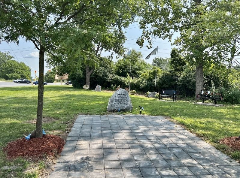
2. D-Day Marker
Photographed by Tim Boyd, August 14, 2026
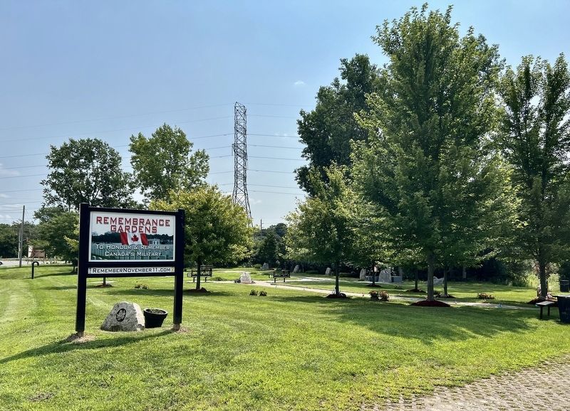
3. Remembrance Gardens, London
Credits. This page was last revised on August 15, 2026. It was originally submitted on August 15, 2026, by Tim Boyd of Hamilton, Ontario. This page has been viewed 11 times since then. Photos: 1, 2, 3. submitted on August 15, 2026, by Tim Boyd of Hamilton, Ontario. • Andrew Ruppenstein was the editor who published this page.
