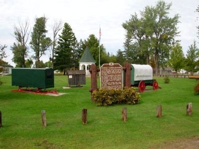
Port Wing in Bayfield County, Wisconsin — The American Midwest (Great Lakes)
School Consolidation
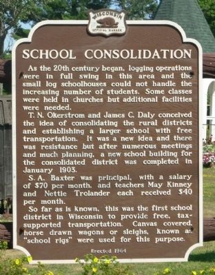
T.N. Okerstrom and James C. Daly conceived the idea of consolidating the rural districts and establishing a larger school with free transportation. It was a new idea and there was resistance but after numerous meetings and much planning, a new school district was completed in January 1903.
S.A. Baxter was principal, with a salary of $70 per month, and teachers Mary Kinney and Nettie Trolander each received $40 per month.
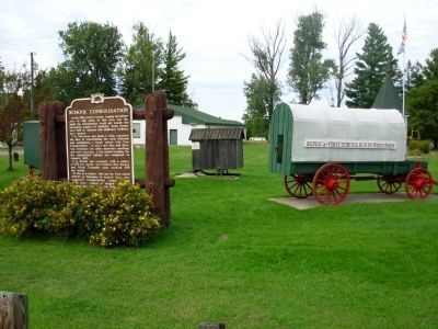
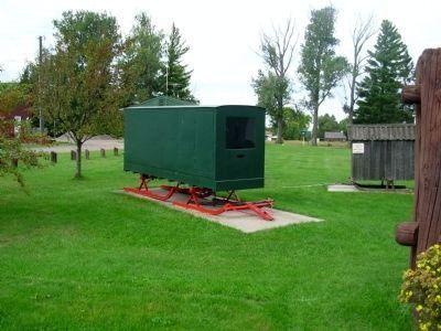
So far as is known, this was the first school district in Wisconsin to provide free, tax-supported transportation. Canvas covered horse drawn wagons or sleighs, known as “school rigs” were used for this purpose.
Erected 1964 by State Historical Society of Wisconsin. (Marker Number 145.)
Topics and series. This historical marker is listed in these topic lists: Education • Notable Events. In addition, it is included in the Wisconsin Historical Society series list. A significant historical month for this entry is January 1903.
Location. 46° 46.505′ N, 91° 23.203′ W. Marker is in Port Wing, Wisconsin, in Bayfield County. Marker is at the intersection of State Highway 13 and Grand Avenue, on the right when traveling west on State Highway 13. Touch for map. Marker is in this post office area: Port Wing WI 54865, United States of America. Touch for directions.
Other nearby markers. At least 3 other markers are within 14 miles of this marker, measured as the crow flies. Port Wing Brown Stone (a few steps from this marker); "The Gym" (approx. 7 miles away); Moquah Natural Area (approx. 13.7 miles away).
Credits. This page was last revised on June 16, 2016. It was originally submitted on May 18, 2010, by Paul Fehrenbach of Germantown, Wisconsin. This page has been viewed 1,247 times since then and 37 times this year. Photos: 1. submitted on May 18, 2010, by Paul Fehrenbach of Germantown, Wisconsin. 2, 3, 4, 5. submitted on September 28, 2010, by Paul Fehrenbach of Germantown, Wisconsin. • Syd Whittle was the editor who published this page.
