Southwest Waterfront in Southwest Washington in Washington, District of Columbia — The American Northeast (Mid-Atlantic)
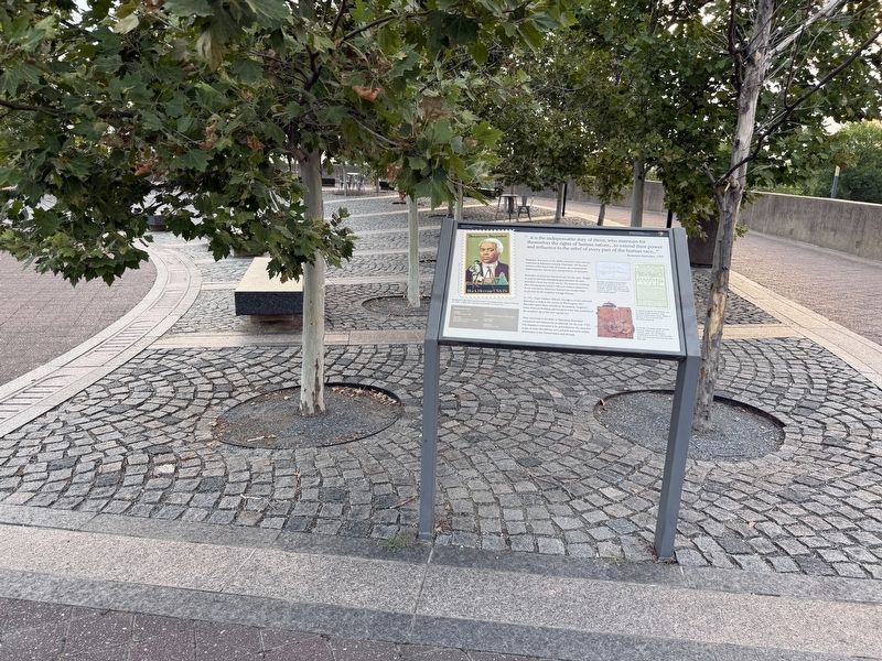
Benjamin Banneker
National Mall and Memorial Parks
| — | National Park Service, U.S. Department of the Interior | — |

"…it is the indispensable duty of those, who maintain for themselves the rights of human nature,…to extend their power and influence to relief of every part of the human race…"
—Benjamin Banneker, 1792
Benjamin Banneker (1731-1806) was born a free African American in Baltimore County, Maryland. He became America's first black man of science, an accomplished mathematician, astronomer, and producer of almanacs.
Banneker received an education rare for the time. Taught to read by his Irish grandmother, he later attended a local one room school. He spent his working days managing his family's 100 acre tobacco plantation. In his retirement, Banneker learned astronomy from books lent by his neighbor George Ellicott.
In 1791, Major Andrew Ellicott, George's cousin selected Banneker to help in the survey of Washington, DC. Banneker spent three months at Alexandria, Virginia's Jones Point performing astronomical work that established the southern tip of the new capital city.
After returning to his farm in Maryland, Banneker completed calculations for an almanac for the year 1792. His almanacs continued to be published
this page online
Memorial Facts
Designer The Office of Dan Kiley
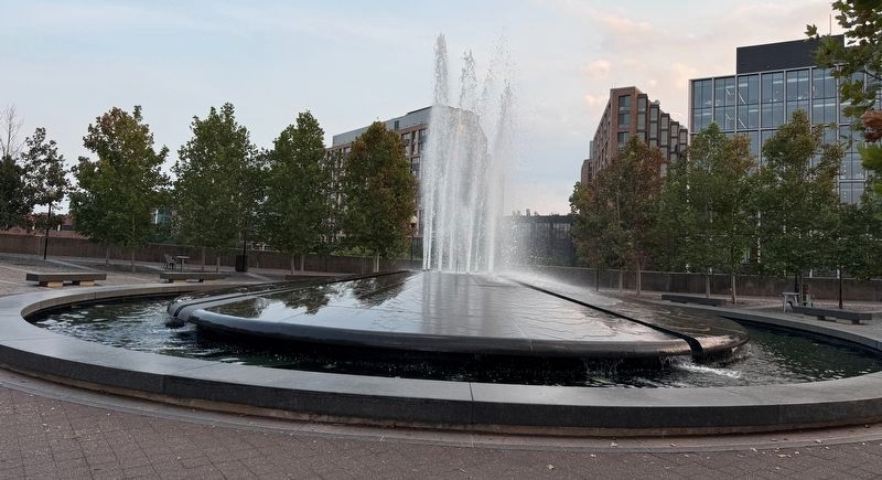
Materials Green granite fountain, concrete walls, granite pavers
Cost ~$2 million ($16 million in 2023 dollars)
Construction 1967-1969
Dedication November 24, 1971
[Captions:]
No portrait of Banneker is known to exist. This postage stamp, issued on February 15, 1980, is based upon descriptions by people who knew him.
Banneker calculated and predicted precisely the positions of the sun, moon, and planets each year for his almanacs. Writing and charting in his journal on April 3, 1791, he recorded a solar eclipse (above).
In colonial America, the almanac was an indispensable referenced work found in almost every home. Above is the first of five almanacs that Banneker produced.
In his 20s, Banneker carved out the intricate wheels and gears of a wooden clock. The remarkable timepiece he built from memory kept time and struck the hours for the next fifty years.
Erected by National Park Service, U.S. Department of the Interior.
Topics. This
Location. 38° 52.911′ N, 77° 1.562′ W. Marker is in Southwest Washington in Washington, District of Columbia. It is in Southwest Waterfront. It is on L'Enfant Plaza Southwest north of 9th Street Southwest, on the left when traveling south. Touch for map. Marker is at or near this postal address: 429 L'Enfant Plaza SW, Washington DC 20024, United States of America. Touch for directions.

Regionally, this marker is in the Washington Metropolitan Area. It is also in the American Northeast, in the Upper South, in the Mid-Atlantic, in the Tidewater, and in the Chesapeake Bay Region. Globally, it is in North America, the Western Hemisphere, the Western World, and the Anglosphere.
Other nearby markers. At least 8 other markers are within walking distance of this marker: Banneker Circle: Vista to the Past (here, next to this marker); Maine Avenue Fish Market (about 300 feet away, measured in a direct line); Annual Oyster Derby (about 500 feet away);
Photographed by Devry Becker Jones (CC0), August 15, 2026
3. The fountain in the center of Benjamin Banneker Park
Another marker is no longer nearby. Benjamin Banneker Park (was here, next to this marker but has been replaced with another marker now near it).
Credits. This page was last revised on August 16, 2026. It was originally submitted on August 16, 2026, by Devry Becker Jones of Washington, District of Columbia. This page has been viewed 13 times since then. Photos: 1, 2, 3. submitted on August 16, 2026, by Devry Becker Jones of Washington, District of Columbia.
