
Near Canton in Van Zandt County, Texas — The American South (West South Central)
Mt. Pisgah

Photographed by Jeff Leichsenring, September 7, 2026
1. Mt. Pisgah Marker
The Mt. Pisgah community was founded by farming families who came to the area in the 1860s and 1870s from Tennessee, Mississippi, Alabama and Georgia. Mt. Pisgah Baptist Church was established ca. 1870, and Wade H. Walters deeded property for the construction of the church building and a school in 1877. The school was established by 1883, and G.D. Staton deeded additional land to the church in 1892. Mt. Pisgah Cemetery was founded adjacent to the church and continues to serve citizens of the area. As with many small, rural communities, a great number of residents left the area to seek employment during World War II, greatly reducing the population of the community.
Erected 2009 by Texas Historical Commission. (Marker Number 15885.)
Topics. This historical marker is listed in this topic list: Settlements & Settlers. A significant historical year for this entry is 1870.
Location. 32° 30.227′ N, 95° 49.695′ W. Marker is near Canton, Texas, in Van Zandt County. It is on County Road 4150 half a mile east of Farm to Market Road 2909, on the right when traveling east. Touch for map. Marker is at or near this postal address:
this page online

Regionally, this marker is in the American South and in the Piney Woods. Globally, it is in North America, a Gulf of Mexico state, the Western Hemisphere, the Western World, and the Anglosphere. Historically, it finds itself in what was once New Spain, the Republic of Texas, one of the Confederate States of America, and the Antebellum South.
Other nearby markers. At least 8 other markers are within 4 miles of this marker, measured as the crow flies: Mt. Pisgah Cemetery (here, next to this marker); Carter Cemetery (approx. 2.1 miles away); Little Hope Baptist Church (approx. 2.4 miles away); Dipping Vat (approx. 3 miles away); Cool Springs (Tundra) (approx. 3 miles away); Van Zandt County Poor Farm (approx. 3.2 miles away); Van Zandt County (approx. 3.4 miles away); 1st Lt. Robert A. "Bob" Reese (approx. 3.4 miles away). Touch for a list and map of all markers in Canton.
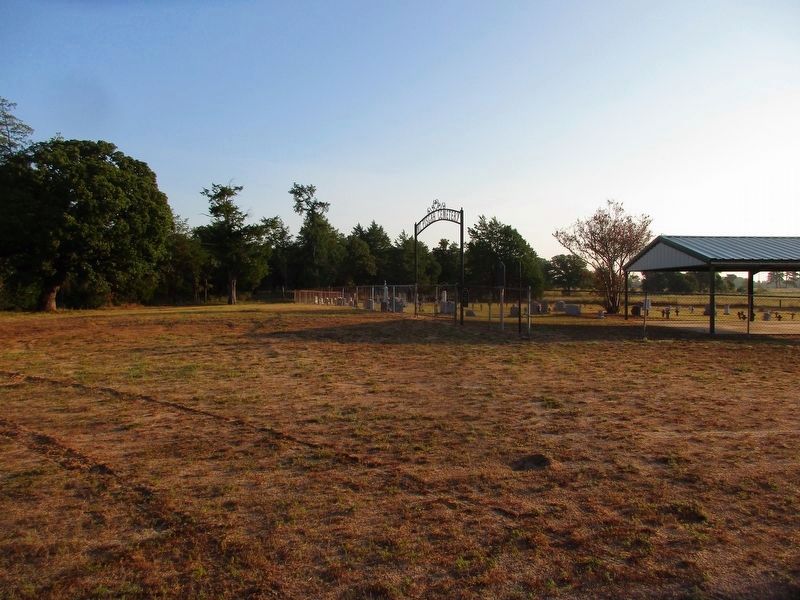
Photographed by Jeff Leichsenring, September 7, 2026
2. Mt. Pisgah Marker
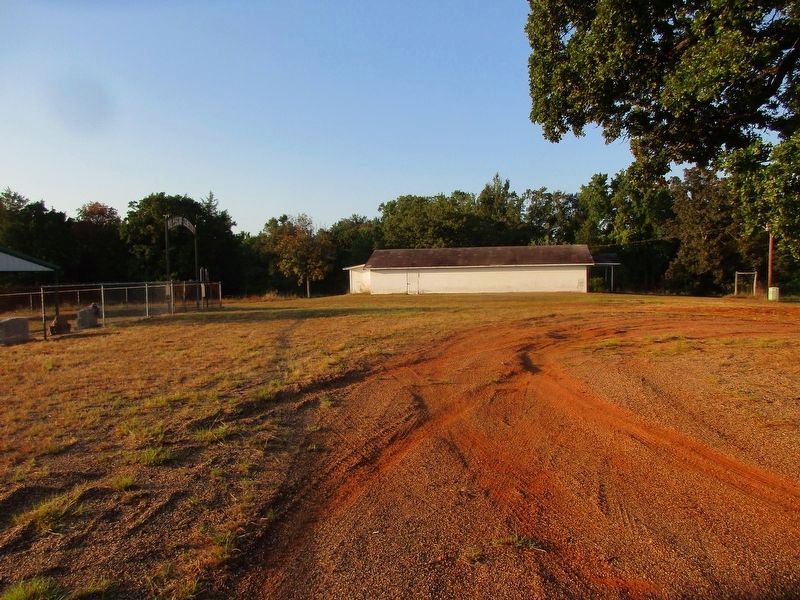
Photographed by Jeff Leichsenring, September 7, 2026
3. Mt. Pisgah Marker
Credits. This page was last revised on September 12, 2026. It was originally submitted on August 16, 2026, by Jeff Leichsenring of Garland, Texas. This page has been viewed 15 times since then. Photos: 1, 2, 3. submitted on September 8, 2026, by Jeff Leichsenring of Garland, Texas. • James Hulse was the editor who published this page.
