Oude Westen in Rotterdam, South Holland, Netherlands — Northwestern Europe
Tiendstraat
⎯⎯⎯
“Tithe Street”
Photographed by Andrew Ruppenstein, March 20, 2024
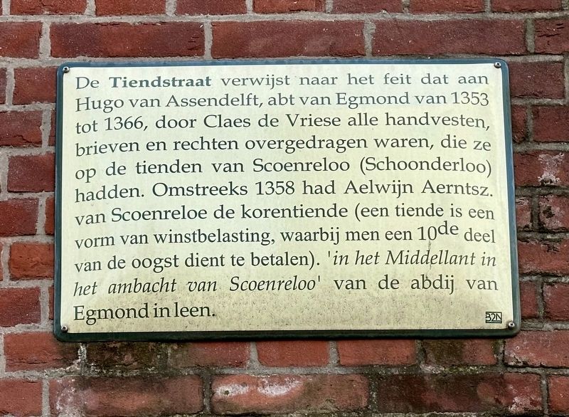
1. Tiendstraat / “Tithe Street” Marker

The name Tiendstraat refers to the fact that Claes de Vriese transferred to Hugo van Assendelft—Abbot of Egmond from 1353 to 1366—all charters, documents, and rights pertaining to the tithes of Scoenreloo (Schoonderloo). Around 1358, Aelwijn Aerntsz. van Scoenreloe held the grain tithe (a tithe being a form of tax on produce, requiring the payment of one-tenth of the harvest) "in the Middellant in the administrative district of Scoenreloo" in fief from the Abbey of Egmond.
Erected by the 32N.
Topics. This historical marker is listed in this topic list: Government & Politics. A significant historical year for this entry is 1353.
Location. 51° 55.185′ N,
this page online

Regionally, it is in Europe, the European Union, Atlantic Europe, the Benelux Low Countries, the Schengen Area, Western Europe, and the Western World. Historically, it finds itself in what was once the Roman Empire and specifically also the Holy Roman Empire.
Other nearby markers. At least 8 other markers are within walking distance of this marker: Zijdewindestraat (within shouting distance of this marker); Tiendplein (within shouting distance of this marker); Korte Bajonetstraat / “Little Bayonet” Street (within shouting distance of this marker); 1ste Middellandstraat (within shouting distance of this marker); Zijdewindeplein (about 90 meters away, measured in a direct line); Van Speijkstraat - Jan van Speyk (about 90 meters away); Coolsestraat (about 120 meters
Photographed by Andrew Ruppenstein, March 20, 2024
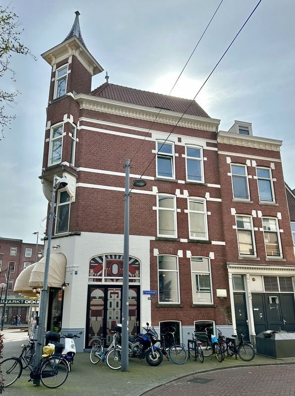
2. Tiendstraat / “Tithe Street” Marker - wide view
Credits. This page was last revised on August 17, 2026. It was originally submitted on August 17, 2026, by Andrew Ruppenstein of Lamorinda, California. This page has been viewed 11 times since then. Photos: 1, 2. submitted on August 17, 2026, by Andrew Ruppenstein of Lamorinda, California.
