Bangor in Gwynedd, Wales, United Kingdom — Northwestern Europe (the British Isles)
Bangor Timeline - every step tells a story...
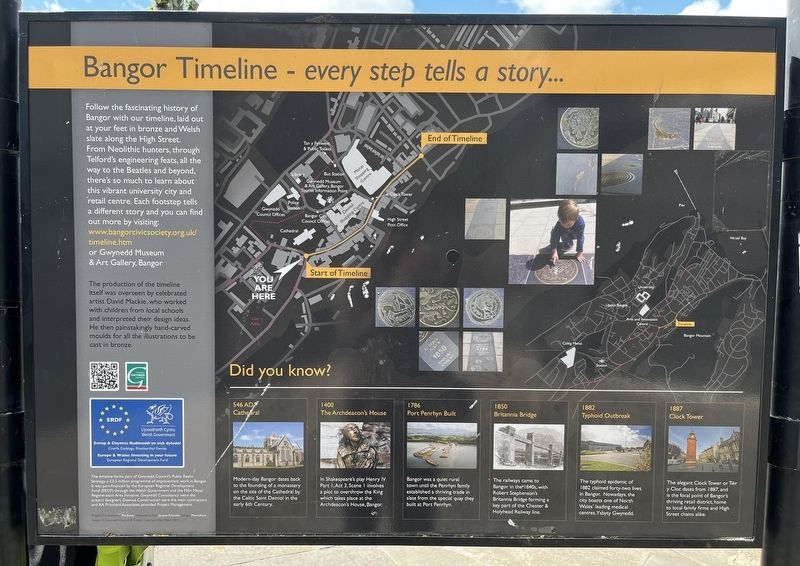
Photographed by Ray Gurganus, May 15, 2026
1. Bangor Timeline - every step tells a story... Marker
The production of the timeline itself was overseen by celebrated artist David Mackie, who worked with children from local schools and interpreted their design ideas. He then painstakingly hand-carved moulds for all the illustrations to be cast in bronze.
Topics. This historical marker is listed in this topic list: Notable Places.
Location. 53° 13.567′ N, 4° 7.627′ W. Marker is in Bangor, Wales, in Gwynedd. It is on High Street, on the right when traveling west. Touch for map. Marker is at or near this postal address: 205 High Street, Bangor, Wales LL57 1LH, United Kingdom. Touch for directions.

Regionally,
this page online
Other nearby markers. At least 2 other markers are within 3 kilometers of this marker, measured as the crow flies: Porthaethwy Menai Bridge (approx. 2.8 kilometers away); Church Island (approx. 2.9 kilometers away).
Credits. This page was last revised on August 18, 2026. It was originally submitted on August 18, 2026, by Ray Gurganus of Washington, District of Columbia. This page has been viewed 8 times since then. Photo 1. submitted on August 18, 2026, by Ray Gurganus of Washington, District of Columbia. • Andrew Ruppenstein was the editor who published this page.
