South Loop in Chicago in Cook County, Illinois — The American Midwest (Great Lakes)
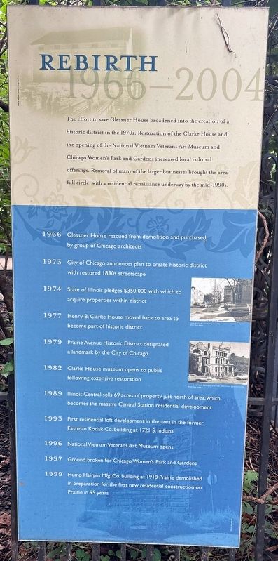
Rebirth 1966-2004
Photographed by Sean P. Flynn, August 14, 2026
1. Rebirth 1966-2004 Marker
1966 Glessner House rescued from demolition and purchased by group of Chicago architects
1973 City of Chicago announces plan to create historic district with restored 1890s streetscape
1974 State of Illinois pledges $350,000 with which to acquire properties within district
1977 Henry B. Clarke House moved back to area to become part of historic district
1979 Prairie Avenue Historic District designated a landmark by the City of Chicago
1982 Clarke House museum opens to public following extensive restoration
1989 Illinois Central sells 69 acres of property just north of area, which becomes the massive Central Station residential development
1993 First residential loft development in the area in the former Eastman Kodak Co. building at 1721 S. Indiana
1996 National Vietnam Veterans Art Museum opens
1997 Ground broken for Chicago Women's Park and Gardens
1999 Hump Hairpin Mfg. Co. building at 1918 Prairie demolished in preparation for the first new residential construction on Prairie in 95 years
Topics and series. This historical marker is listed in these topic lists: Architecture • Arts, Letters, Music • Notable Buildings • War, Vietnam. In addition, it is included in the Chicago's Surviving Pre-Fire Structures series list. A significant historical year for this entry is 1966.
Location. 41° 51.418′ N, 87° 37.251′ W. Marker is in Chicago, Illinois, in Cook County. It is in South Loop.
this page online

Regionally, this marker is on Chicago’s South Side. It is also in the American Midwest. Globally, it is in North America, on the Great Lakes, in the Western Hemisphere, in the Western World, and in the Anglosphere. Historically, it finds itself in what was once the Viceroyalty of New France, the territory of the Mississippian Culture, and the Northwest Territory.
Other nearby markers. At least 8 other markers are within walking distance of this marker: Lost Houses of Prairie Avenue: 2000-2100 Blocks (here, next to this marker); Upstairs Downstairs (a few steps from this marker); In Chicago Palaces (a few steps from this marker); Decline 1905-1965 (a few steps from this marker); Lost Houses of Prairie Avenue: 1800-1900 Blocks (West Side) (a few steps from this marker); Glory Days 1872-1904
Photographed by Sean P. Flynn, August 14, 2026
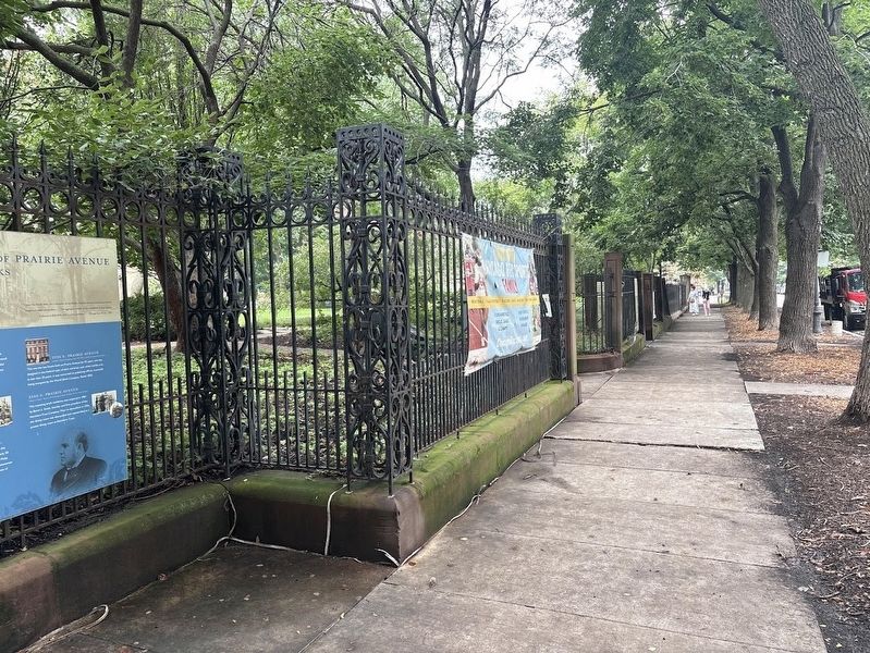
2. Chicago Women's Park entrance on Prairie Avenue
The Rebirth 1966-2004 sign is just off camera to the right.
Also see . . . Prairie Avenue District. From the Commission on Chicago Landmarks. The area was designated a Chicago Landmark in 1979. (Submitted on August 19, 2026, by Sean P. Flynn of Oak Park, Illinois.)
Photographed by Sean P. Flynn, August 14, 2026
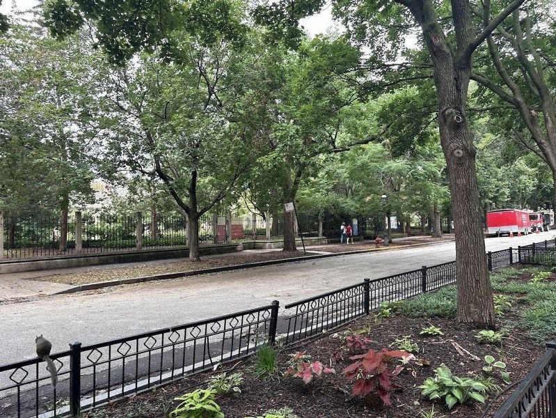
3. Fence around Chicago Women's Park
Markers are affixed to the fence along Prairie Avenue.
Credits. This page was last revised on August 19, 2026. It was originally submitted on August 19, 2026, by Sean P. Flynn of Oak Park, Illinois. This page has been viewed 14 times since then. Photos: 1, 2, 3. submitted on August 19, 2026, by Sean P. Flynn of Oak Park, Illinois.
