Niceville in Okaloosa County, Florida — The American South (South Atlantic)
Old Niceville High School
Photographed by Tim Fillmon, August 20, 2026
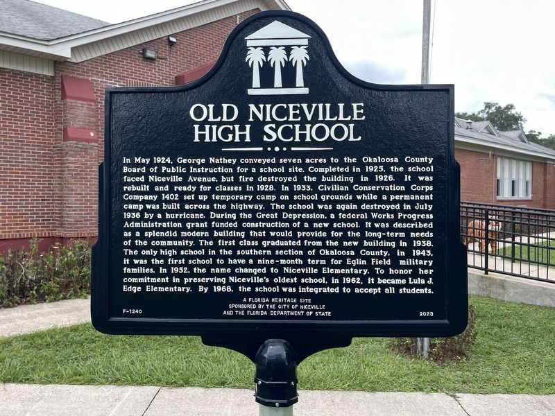
1. Old Niceville High School Marker
In May 1924, George Nathey conveyed seven acres to the Okaloosa County Board of Public Instruction for a school site. Completed in 1925, the school faced Niceville Avenue, but fire destroyed the building in 1926. It was rebuilt and ready for classes in 1928. In 1933. Civilian Conservation Corps Company 1402 set up temporary camp on school grounds while a permanent camp was built across the highway. The school was again destroyed in July 1936 by a hurricane. During the Great Depression, a federal Works Progress Administration grant funded construction of a new school. It was described as a splendid modern building that would provide for the long-term needs of the community. The first class graduated from the new building in 1938. The only high school in the southern section of Okaloosa County, in 1943, it was the first school to have a nine-month term for Eglin Field military families. In 1952, the name changed to Niceville Elementary. To honor her commitment in preserving Niceville's oldest school, in 1962, it became Lula J. Edge Elementary. By 1968, the school was integrated to accept all students.
A Florida
this page online
Erected 2023 by The City of Niceville and the Florida Department of State. (Marker Number F-1240.)
Topics. This historical marker is listed in this topic list: Education. A significant historical month for this entry is May 1924.
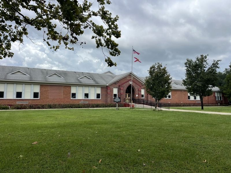
Location. 30° 31.626′ N, 86° 29.66′ W. Marker is in Niceville, Florida, in Okaloosa County. It is on Florida 85 just north of Lewis Street, on the left when traveling north. Marker is located in front of what is now Edge Elementary School. Touch for map. Marker is at or near this postal address: 300 FL-85, Niceville FL 32578, United States of America. Touch for directions.

Regionally, this marker is on the Florida Panhandle. It is also in the American South, specifically in the Deep South, and on the Gulf Coast. Globally, it is in the North Atlantic Region, North America, a Gulf of Mexico state, the Western Hemisphere, the Western World, and the Anglosphere. Historically, it finds itself in what was once New Spain, the territory of the Mississippian Culture, one of the Confederate States of America, and the Antebellum South.
Other nearby markers. At least 8 other markers are within
Photographed by Tim Fillmon, August 20, 2026
2. Old Niceville High School Marker
Credits. This page was last revised on August 22, 2026. It was originally submitted on August 22, 2026, by Tim Fillmon of Webster, Florida. This page has been viewed 18 times since then. Photos: 1, 2. submitted on August 22, 2026, by Tim Fillmon of Webster, Florida.
