Huntley in Yellowstone County, Montana — The American West (Mountains)
Osborn Schoolhouse
Photographed by Cosmos Mariner, July 3, 2024
1. Osborn Schoolhouse Marker
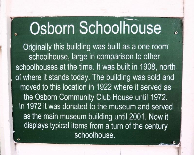
Originally this building was built as a one room schoolhouse, large in comparison to other schoolhouses at the time. It was built in 1908, north of where it stands today. The building was sold and moved to this location in 1922 where it served as the Osborn Community Club House until 1972. In 1972 it was donated to the museum and served as the main museum building until 2001. Now it displays typical items from a turn of the century schoolhouse.
Erected by Huntley Project Museum.
Topics. This historical marker is listed in these topic lists: Architecture • Education. A significant historical year for this entry is 1908.
Location. 45° 55.544′ N, 108° 14.489′ W. Marker is in Huntley, Montana, in Yellowstone County. It can be reached from Railroad Highway 0.2 miles west of South 8th Road, on the left when traveling west. The schoolhouse and marker are on the Huntley Project Museum grounds. Touch for map. Marker is at or near this postal address: 770 Railroad Highway, Huntley MT 59037, United States of America. Touch for directions.

Regionally, this marker is in Yellowstone Country and in Greater Billings. It is
this page online
Other nearby markers. At least 8 other markers are within walking distance of this marker: Hoover Potato Digger (within shouting distance of this marker); The Ruth Dredger (within shouting distance of this marker); William Fricke's Carpenter Shop (within shouting distance of this marker); Little Yankee Road Grader (within shouting distance of this marker); Welcome to the Huntley Project Museum (within shouting distance of this marker); 1910 Homestead House (about 400 feet away, measured in a direct line); Volga Germans on the Huntley Project (about 400 feet away); Russian Style Barn (about 400 feet away). Touch for a list and map of all markers in Huntley.
Photographed by Cosmos Mariner, July 3, 2024
2. Osborn Schoolhouse Marker
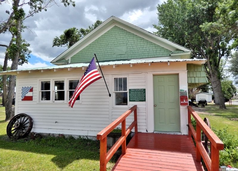
The marker is on the left side of the front entrance.
Photographed by Cosmos Mariner, July 3, 2024
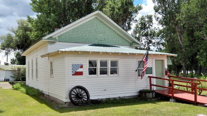
3. Osborn Schoolhouse
Photographed by Cosmos Mariner, July 3, 2024
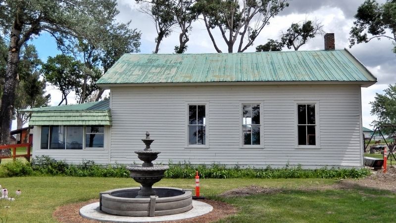
4. Osborn Schoolhouse Marker
Credits. This page was last revised on August 25, 2026. It was originally submitted on August 22, 2026, by Cosmos Mariner of Cape Canaveral, Florida. This page has been viewed 14 times since then. Photos: 1, 2, 3, 4. submitted on August 25, 2026, by Cosmos Mariner of Cape Canaveral, Florida.
