Bulltown in Braxton County, West Virginia — The American South (Appalachia)
St. Michael’s Church
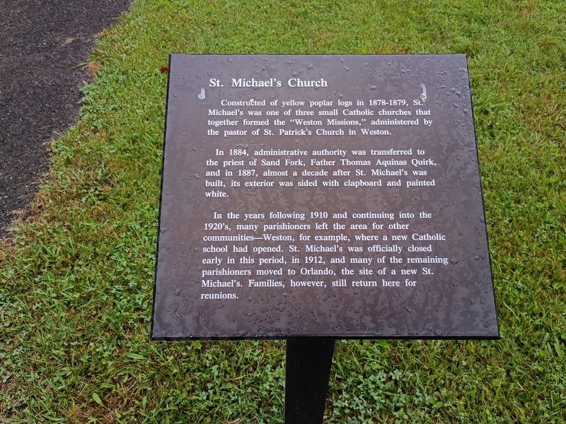
Photographed by Craig Doda, August 2, 2026
1. St. Michael’s Church Marker
Constructed of yellow poplar logs in 1878-1879, St. Michael’s was one of three small Catholic churches that together formed the “Weston Missions,” administered by the pastor of St. Patrick’s Church in Weston.
In 1884, administrative authority was transferred to the priest of Sand Fork, Father Thomas Aquinas Quirk, and in 1887, almost a decade after St. Michael’s was built, its exterior was sided with clapboard and painted white.
In the years following 1910 and continuing into the 1920’s, many parishioners left the area for other communities—Weston, for example, where a new Catholic school had opened. St. Michael’s was officially closed early in this period, in 1912, and many of the remaining parishioners moved to Orlando, the site of a new St. Michael’s. Families, however, still return here for reunions.
Topics. This historical marker is listed in this topic list: Religion & Religious Structures. A significant historical year for this entry is 1884.
Location. 38° 47.554′ N, 80° 33.771′ W. Marker is in Bulltown, West Virginia, in Braxton County. It is at the intersection of Bulltown Campground Road and Millstone Run
this page online

Regionally, this marker is in North Central West Virginia. It is also in the American South, specifically in the Upper South, in Appalachia, and specifically in Southern Appalachia. Globally, it is in North America, the Western Hemisphere, the Western World, and the Anglosphere. Historically, it finds itself in what was once the territory of the Mississippian Culture.
Other nearby markers. At least 8 other markers are within walking distance of this marker: Veterans Memorial (within shouting distance of this marker); Route to Fortifications–Lower Trenches (within shouting distance of this marker); Trenches for Union Pickets (within shouting distance of this marker); Granary (about 300 feet away, measured in a direct line); West Virginia’s Early Transportation (about 300 feet away); West Virginia’s “Bushwackers” (about 300 feet away); Family Life in Bulltown (about 300 feet away); Early Industry (about 300 feet
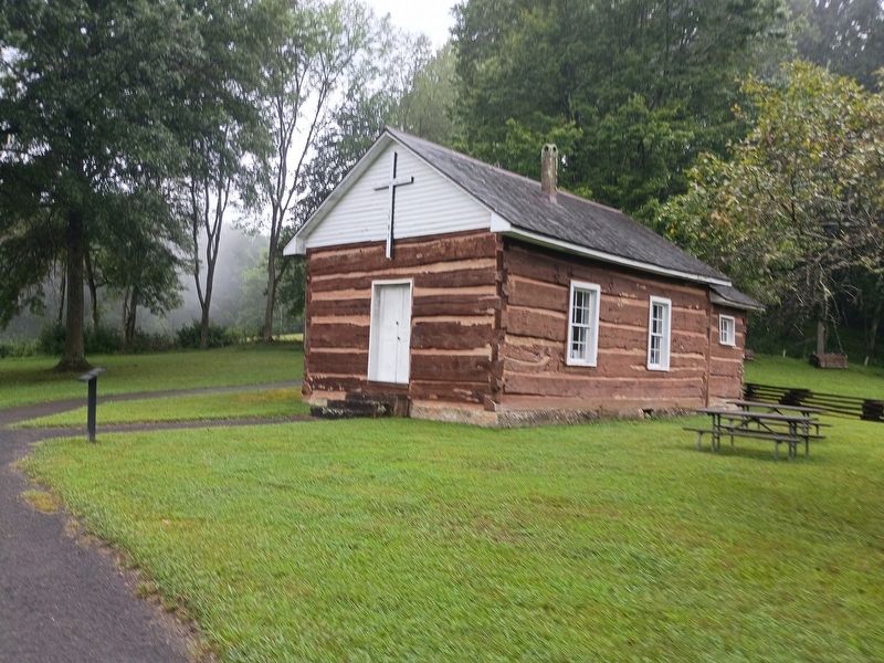
Photographed by Craig Doda, August 2, 2026
2. St. Michael’s Church
Credits. This page was last revised on August 25, 2026. It was originally submitted on August 24, 2026, by Craig Doda of Napoleon, Ohio. This page has been viewed 14 times since then. Photos: 1, 2. submitted on August 24, 2026, by Craig Doda of Napoleon, Ohio. • Devry Becker Jones was the editor who published this page.
