Bulltown in Braxton County, West Virginia — The American South (Appalachia)
Fleming House
Photographed by Craig Doda, August 2, 2026
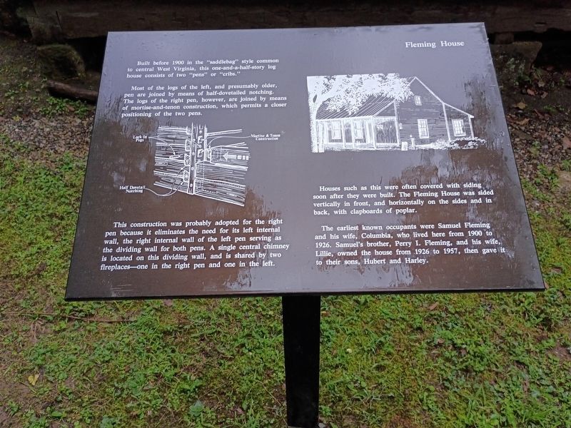
1. Fleming House Marker
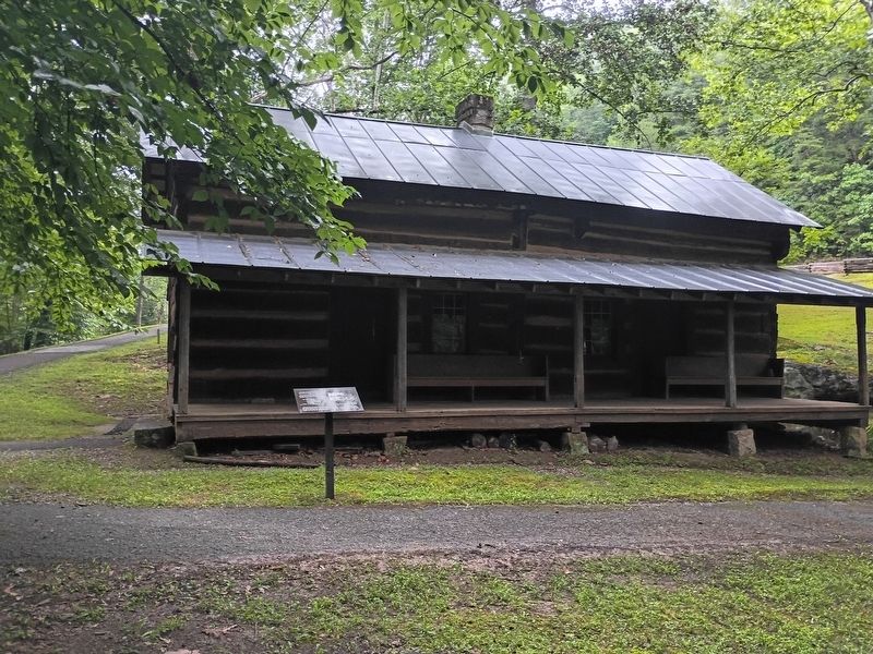
Built before 1900 in the "saddlebag" style common to central West Virginia, this one-and-a-half-story log house consists of two "pens" or "cribs."
Most of the logs of the left, and presumably older, pen are joined by means of half-dovetailed notching. The logs of the right pen, however, are joined by means of mortise-and-tenon construction, which permits a closer positioning of the two pens.
This construction was probably adopted for the right pen because it eliminates the need for its left internal wall, the right internal wall of the left pen serving as the dividing wall for both pens. A single central chimney is located on this dividing wall, and is shared by two fireplaces—one in the right pen and one in the left.
Houses such as this were often covered with siding soon after they were built. The Fleming House was sided vertically in front, and horizontally on the sides and in back, with clapboards of poplar.
The earliest known occupants were Samuel Fleming and his wife, Columbia, who lived here from 1900 to 1926. Samuel's brother, Perry I. Fleming, and his wife, Lillie, owned the house from 1926 to 1957,
this page online
Topics. This historical marker is listed in these topic lists: Architecture • Settlements & Settlers. A significant historical year for this entry is 1900.
Location. 38° 47.507′ N, 80° 33.694′ W. Marker is in Bulltown, West Virginia, in Braxton County. It is at the intersection of Bulltown Campground Road and Millstone Run Road, on the right when traveling west on Bulltown Campground Road. Touch for map. Marker is at or near this postal address: 56 Bulltown Campground Rd, Napier WV 26631, United States of America. Touch for directions.

Regionally, this marker is in North Central West Virginia. It is also in the American South, specifically in the Upper South, in Appalachia, and specifically in Southern Appalachia. Globally, it is in North America, the Western Hemisphere, the Western World, and the Anglosphere. Historically, it finds itself in what was once the territory of the Mississippian Culture.
Other nearby markers. At least 8 other markers are within walking distance of this marker: Johnson House (within shouting distance of this marker); Weston and Gauley Bridge Turnpike
Photographed by Craig Doda, August 2, 2026
2. Fleming House
Credits. This page was last revised on August 27, 2026. It was originally submitted on August 24, 2026, by Craig Doda of Napoleon, Ohio. This page has been viewed 13 times since then. Photos: 1, 2. submitted on August 24, 2026, by Craig Doda of Napoleon, Ohio. • Devry Becker Jones was the editor who published this page.
