Huntley in Yellowstone County, Montana — The American West (Mountains)
1910 Homestead House
Photographed by Cosmos Mariner, July 3, 2024
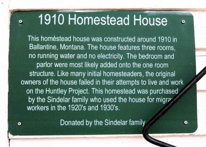
1. 1910 Homestead House Marker
This homestead house was constructed around 1910 in Ballantine, Montana. The house features three rooms, no running water and no electricity. The bedroom and parlor were most likely added onto the one room structure. Like many initial homesteaders, the original owners of the house failed in their attempts to live and work on the Huntley Project. This homestead was purchased by the Sindelar family who used the house for migrant workers in the 1920's and 1930's.
Donated by the Sindelar family
Erected by Huntley Project Museum.
Topics. This historical marker is listed in these topic lists: Architecture • Settlements & Settlers. A significant historical year for this entry is 1910.
Location. 45° 55.574′ N, 108° 14.415′ W. Marker is in Huntley, Montana, in Yellowstone County. It can be reached from Railroad Highway 0.2 miles west of South 8th Road, on the left when traveling west. The house and the marker are on the Huntley Project Museum grounds. Touch for map. Marker is at or near this postal address: 770 Railroad Highway, Huntley MT 59037, United States of America. Touch for directions.

Regionally, this marker is
this page online
Other nearby markers. At least 8 other markers are within walking distance of this marker: Volga Germans on the Huntley Project (a few steps from this marker); Russian Style Barn (a few steps from this marker); a different marker also named Russian Style Barn (a few steps from this marker); Welcome to the Huntley Project Museum (within shouting distance of this marker); Little Yankee Road Grader (within shouting distance of this marker); The Ruth Dredger (about 300 feet away, measured in a direct line); William Fricke's Carpenter Shop (about 300 feet away); Osborn Schoolhouse (about 400 feet away). Touch for a list and map of all markers in Huntley.
Also see . . . Huntley Project (Wikipedia).
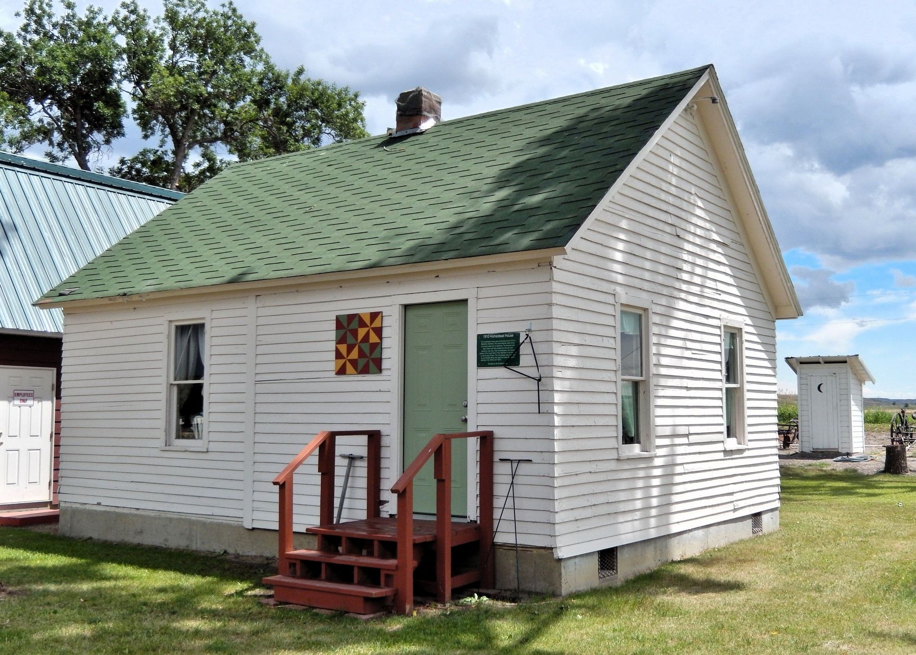
Excerpt: The project took its name from the town of Huntley, a station on the Northern Pacific Railroad.(Submitted on August 25, 2026, by Cosmos Mariner of Cape Canaveral, Florida.)In 1907 the new Huntley Project townsites of Worden, Ballantine, and Pompeys Pillar were laid out at intervals of about six miles along the railroad. Farm units were distributed by lottery. Much of the irrigation infrastructure of the Huntley Project had been poorly designed and cheaply built, and replacements were soon needed. Growing demand for water required more irrigation canals and an auxiliary pumping station, and by 1913 problems with inadequate drainage had caused hundreds of acres of arid land to become waterlogged. Settlers found that alkali in the soil made it difficult to profitably farm the area, and many farms failed in the recession following World War I.Photographed by Cosmos Mariner, July 3, 20242. 1910 Homestead HouseThe marker is on the right side of the front entrance.
Credits. This page was last revised on August 25, 2026. It was originally submitted on August 24, 2026, by Cosmos Mariner of Cape Canaveral, Florida. This page has been viewed 13 times since then. Photos: 1, 2. submitted on August 25, 2026, by Cosmos Mariner of Cape Canaveral, Florida.
