West Freehold in Freehold Township in Monmouth County, New Jersey — The American Northeast (Mid-Atlantic)
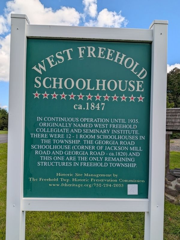
West Freehold Schoolhouse
ca. 1847
Photographed by Richard Peterson, August 25, 2026
1. West Freehold Schoolhouse Marker
Historic Site Management by The Freehold Twp. Historic Preservation Commission www.ftheritage.org / 732-294-2033
Topics. This historical marker is listed in this topic list: Education. A significant historical year for this entry is 1847.
Location. 40° 14.555′ N, 74° 18.164′ W. Marker is in Freehold Township, New Jersey, in Monmouth County. It is in West Freehold. It is at the intersection of Wemrock Road and Damon Marks Way, on the right when traveling north on Wemrock Road. Touch for map. Marker is at or near this postal address: 209 Wemrock Road, Freehold NJ 07728, United States of America. Touch for directions.

Regionally, this marker is in Central Jersey and in the New York City Metropolitan Area. It is also in the American Northeast, in the Mid-Atlantic, and on the Eastern Seaboard. Globally, it is in the
this page online
Other nearby markers. At least 8 other markers are within 2 miles of this marker, measured as the crow flies: Oakley Farm (approx. half a mile away); Tollhouse (approx. half a mile away); Mary Hays, nicknamed “Molly Pitcher" (approx. 1.6 miles away); General von Steuben (approx. 1.7 miles away); Molly Pitcher (approx. 1.7 miles away); Locating the Continental Artillery on Combs Hill (approx. 1.7 miles away); D’Annae: A French, Swedish-Style 4-pounder (approx. 1.7 miles away); Monmouth Battlefield (approx. 1.7 miles away). Touch for a list and map of all markers in Freehold Township.
Photographed by Richard Peterson, August 25, 2026
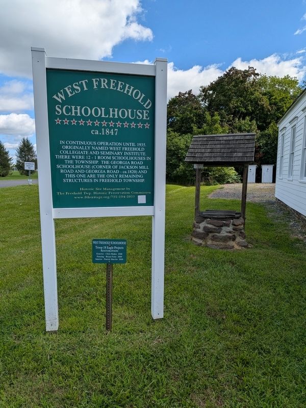
2. West Freehold Schoolhouse Marker
Photographed by Richard Peterson, August 25, 2026
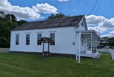
3. West Freehold Schoolhouse
Photographed by Richard Peterson, August 25, 2026
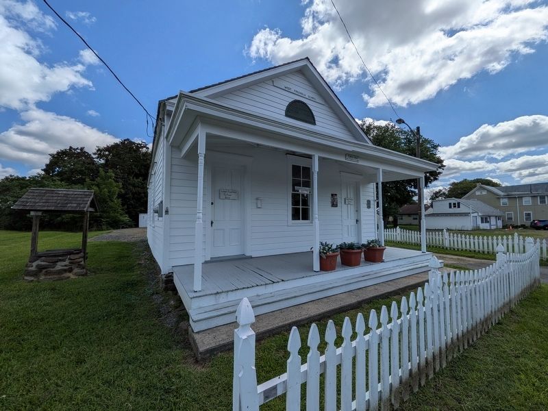
4. West Freehold Schoolhouse, front
Credits. This page was last revised on August 27, 2026. It was originally submitted on August 25, 2026, by Richard Peterson of East Windsor, New Jersey. This page has been viewed 22 times since then. Photos: 1, 2, 3, 4. submitted on August 25, 2026, by Richard Peterson of East Windsor, New Jersey. • Andrew Ruppenstein was the editor who published this page.
