Aspinall in Lewis County, West Virginia — The American South (Appalachia)
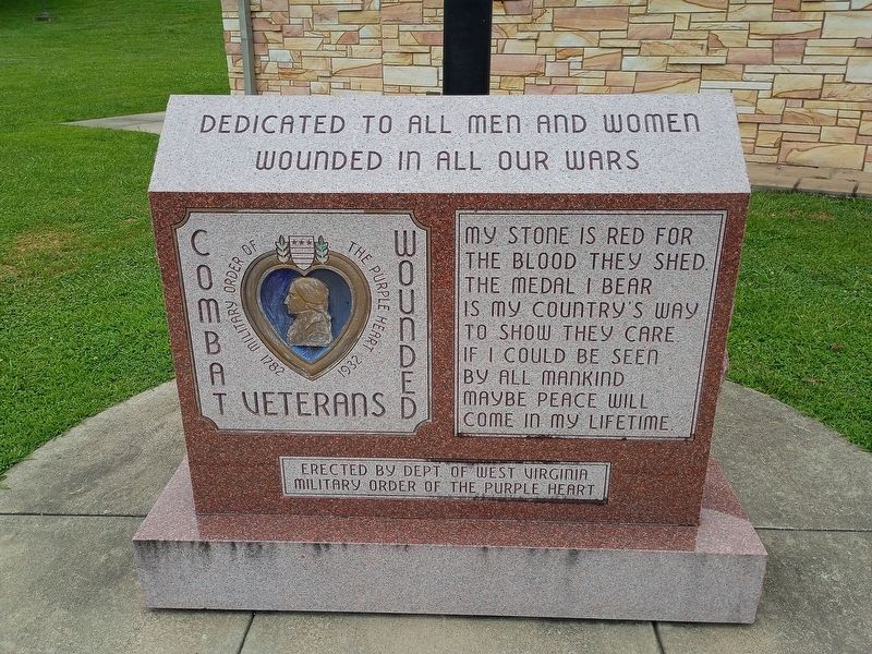
Combat Wounded Veterans Memorial
Military Order of the Purple Heart 1782 - 1932
Photographed by Craig Doda, August 1, 2026
1. Combat Wounded Veterans Memorial Marker
Dedicated to all men and women wounded in all our wars.
My stone is red for
the blood they shed.
The medal I bear
is my country's way
to show they care.
If I could be seen
by all mankind
maybe peace will
come in my lifetime.
Erected by Dept. of West Virginia Military Order of the Purple Heart.
Topics and series. This memorial is listed in this topic list: Military. In addition, it is included in the Military Order of the Purple Heart series list.
Location. 38° 54.712′ N, 80° 35.553′ W. Memorial is in Aspinall, West Virginia, in Lewis County. It is at the intersection of Jennings Randolph Highway (Interstate 79) and Lakeside Drive North on Jennings Randolph Highway. Touch for map. Memorial is at or near this postal address: 283 Lakeside Dr N, Orlando WV 26412, United States of America. Touch for directions.

Regionally, this memorial is in North Central West Virginia. It is also in the American South, specifically in the Upper South, in Appalachia, and specifically in Northern Appalachia. Globally, it is in North America, the Western Hemisphere,
this page online
Other nearby markers. At least 8 other markers are within 6 miles of this marker, measured as the crow flies: Purple Heart Memorial (approx. 0.2 miles away); Copley No. 1 Well (approx. 5 miles away); SGT David Lee Robison (approx. 5.2 miles away); Burnsville Bridge (approx. 5.2 miles away); Town of Burnsville (approx. 5.2 miles away); Burnsville Veterans Memorial (approx. 5.2 miles away); Pierson’s Rangers (approx. 5½ miles away); Bright Star Park Trail (approx. 5.9 miles away).
Photographed by Craig Doda, August 1, 2026
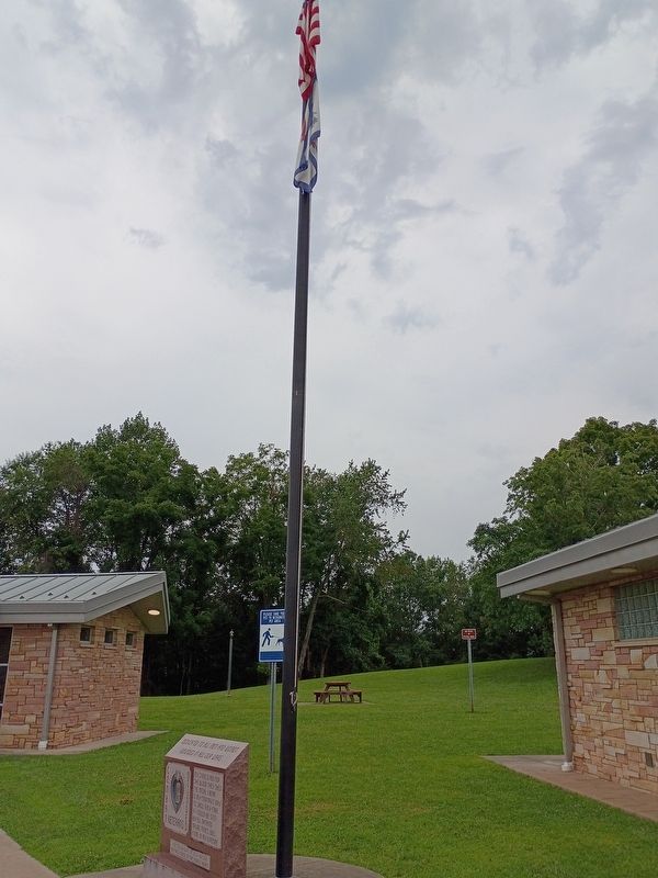
2. Combat Wounded Veterans Memorial
Credits. This page was last revised on August 31, 2026. It was originally submitted on August 26, 2026, by Craig Doda of Napoleon, Ohio. This page has been viewed 18 times since then. Photos: 1, 2. submitted on August 26, 2026, by Craig Doda of Napoleon, Ohio. • Devry Becker Jones was the editor who published this page.
