Cokato in Wright County, Minnesota — The American Midwest (Upper Plains)
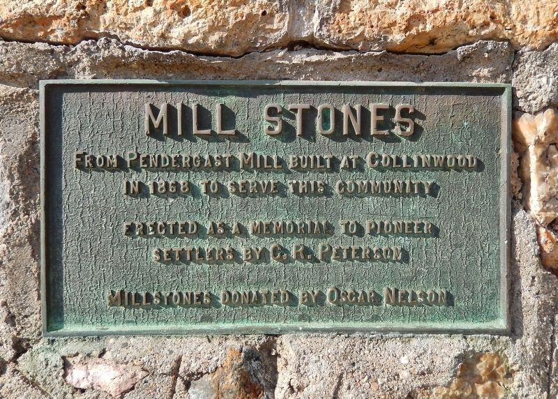
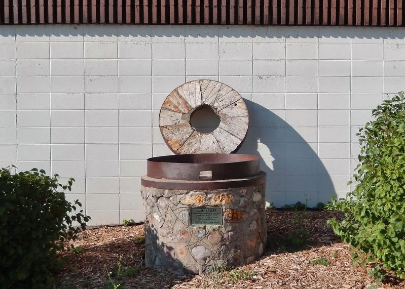
Mill Stones
Photographed by Cosmos Mariner, September 7, 2023
1. Mill Stones Marker
in 1868 to serve this community
Erected as a memorial to pioneer settlers by C. R. Peterson
Millstones donated by Oscar Nelson
Erected by C. R. Peterson.
Topics. This historical marker is listed in these topic lists: Industry & Commerce • Settlements & Settlers. A significant historical year for this entry is 1868.
Location. 45° 4.521′ N, 94° 11.444′ W. Marker is in Cokato, Minnesota, in Wright County. It is at the intersection of 4th Street Southwest and Millard Avenue Southwest, on the right when traveling west on 4th Street Southwest. The mill stones and marker are on the south side of the Cokato Museum. Touch for map. Marker is at or near this postal address: 175 4th Street Southwest, Cokato MN 55321, United States of America. Touch for directions.

Regionally, this marker is in the Twin Cities Metropolitan Area. It is also in the American Midwest, in the Corn Belt, and in the Great River Road Region. Globally, it is in North America, the Western Hemisphere, the Western World, and the Anglosphere. Historically, it finds itself in what was once Rupert’s Land,
this page online
Other nearby markers. At least 8 other markers are within 6 miles of this marker, measured as the crow flies: Veterans Memorial (within shouting distance of this marker); This Tree Dedicated to the Future Generations of Americans (within shouting distance of this marker); Unity Park (about 400 feet away, measured in a direct line); The Dustin Massacre (approx. 4.3 miles away); Wright County Centennial Elm Tree (approx. 5½ miles away); Dassel Area Veterans Memorial (approx. 5.6 miles away); West End Elevator (approx. 5.9 miles away); Howard Lake City Hall (approx. 6 miles away). Touch for a list and map of all markers in Cokato.
Also see . . . Ghost Towns: Collinwood (Cokato Museum Facebook).
Excerpt: Collinwood, formed in 1866, was initially called “Little Viginia” by its early settlers. Henry Clay Bull, who later played a prominent role in Cokato, resided there in 1869, and had the name of the community changed to Collinwood in 1870. The town once had a general store, blacksmith shop, grist mill, hotel, saloon, and dance hall. The railroad wanted(Submitted on August 29, 2026, by Cosmos Mariner of Cape Canaveral, Florida.)to construct tracks through Collinwood, but farmer Noah Parks refused to sell his land. The railroad redirected to Cokato. Around 1879 Collinwood’s most prominent members Bull and Timothy Pendergast moved to different communities.Photographed by Cosmos Mariner, September 7, 20232. Mill Stones & Marker
Photographed by Cosmos Mariner, September 7, 2023
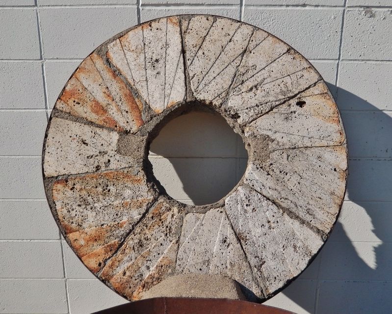
3. Mill Stone
Photographed by Cosmos Mariner, September 7, 2023
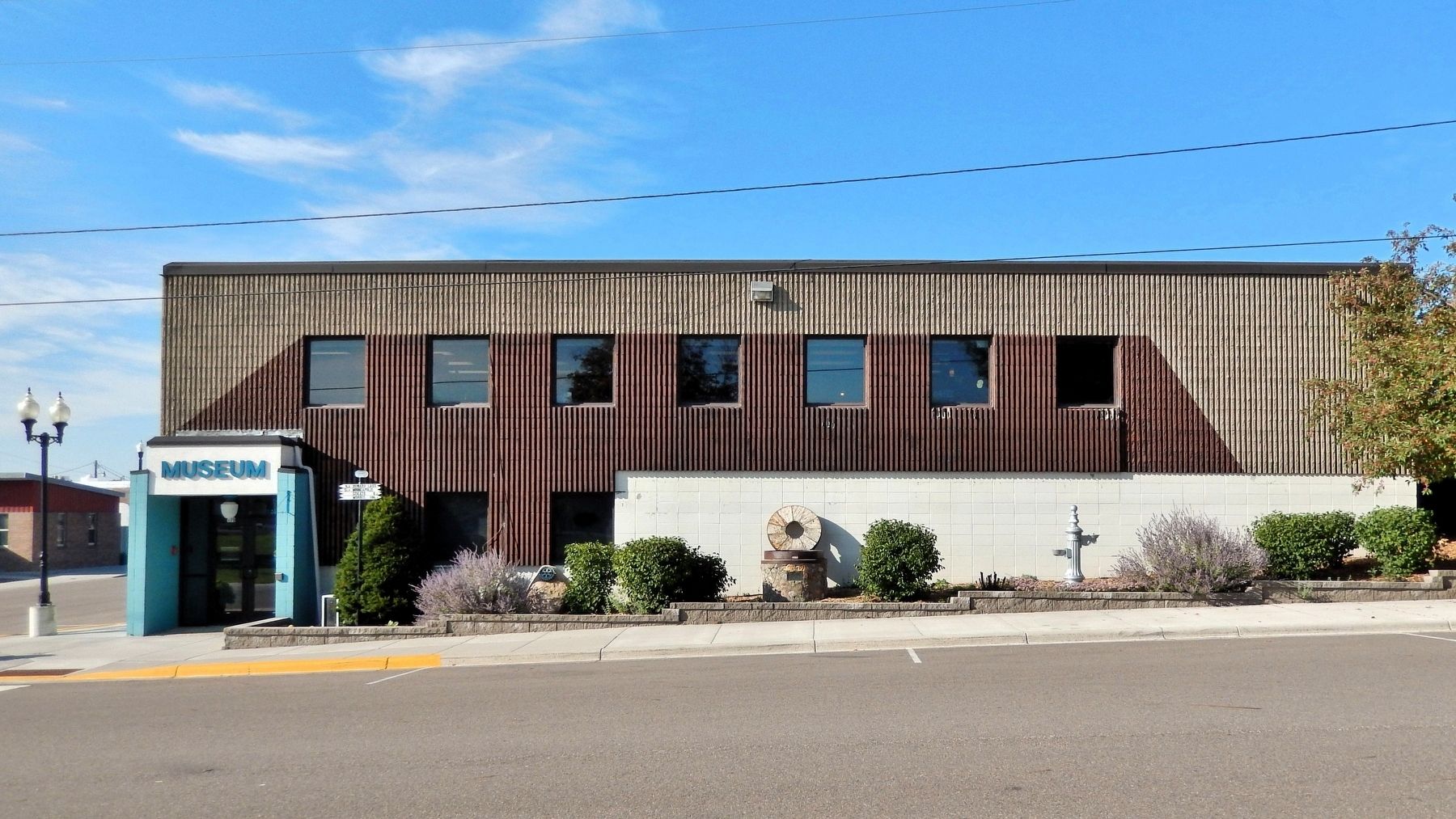
4. Cokato Museum
The mill stones and marker are on the south side of the Cokato Museum.
Credits. This page was last revised on August 29, 2026. It was originally submitted on August 27, 2026, by Cosmos Mariner of Cape Canaveral, Florida. This page has been viewed 10 times since then. Photos: 1, 2, 3, 4. submitted on August 29, 2026, by Cosmos Mariner of Cape Canaveral, Florida.
