Cokato in Wright County, Minnesota — The American Midwest (Upper Plains)
Unity Park
Photographed by Cosmos Mariner, September 7, 2023
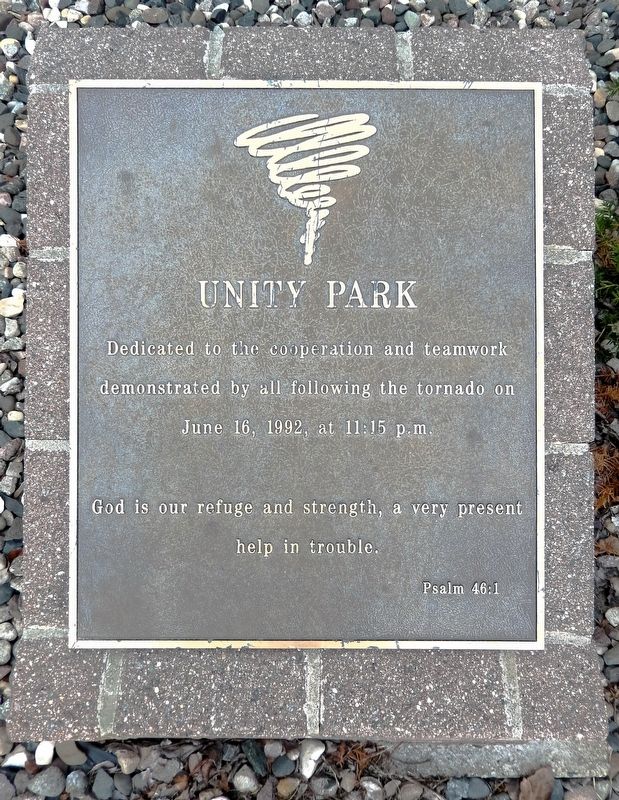
1. Unity Park Marker
Dedicated to the cooperation and teamwork demonstrated by all following the tornado on June 16, 1992, at 11:15 p.m.
God is our refuge and strength, a very present help in trouble.
Psalm 46:1
Topics. This historical marker is listed in this topic list: Disasters. A significant historical date for this entry is June 16, 1992.
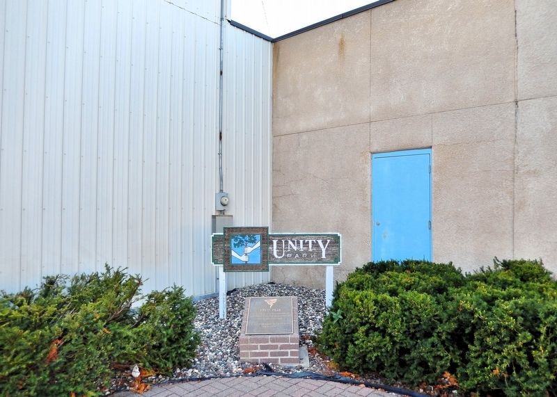
Location. 45° 4.591′ N, 94° 11.426′ W. Marker is in Cokato, Minnesota, in Wright County. It is at the intersection of Broadway Avenue South (County Road 3) and 3rd Street Southwest, on the right when traveling south on Broadway Avenue South. Unity Park occupies the northwest corner of the Broadway Avenue & 3rd Street Southwest intersection. Touch for map. Marker is at or near this postal address: 105 3rd Street Southwest, Cokato MN 55321, United States of America. Touch for directions.

Regionally, this marker is in the Twin Cities Metropolitan Area. It is also in the American Midwest, in the Corn Belt, and in the Great River Road Region. Globally, it is in North America, the Western Hemisphere, the Western World, and the Anglosphere. Historically, it finds itself in what was once Rupert’s Land, the territory
this page online
Other nearby markers. At least 8 other markers are within 6 miles of this marker, measured as the crow flies: Mill Stones (about 400 feet away, measured in a direct line); Veterans Memorial (about 500 feet away); This Tree Dedicated to the Future Generations of Americans (about 600 feet away); The Dustin Massacre (approx. 4.3 miles away); Wright County Centennial Elm Tree (approx. 5½ miles away); Dassel Area Veterans Memorial (approx. 5.6 miles away); West End Elevator (approx. 5.9 miles away); Howard Lake City Hall (approx. 6 miles away). Touch for a list and map of all markers in Cokato.
Also see . . .
1. Tornado outbreak of June 14–18, 1992 (Wikipedia).
Excerpt: The Tornado outbreak of June 14–18, 1992 was one of the largest tornado outbreaks on record, affecting portions of the Central United States from June 14 to June 18, 1992. The outbreak began on June 14 when six tornadoes touched down in Colorado and Idaho. Fifty-eight tornadoes were reported across portions of the Great Plains on June 15, and 65 more were reported over much of the central U.S.(Submitted on August 30, 2026, by Cosmos Mariner of Cape Canaveral, Florida.)on June 16. The 123 tornadoes that touched down on June 15–16 make that two-day span the 5th largest two-day tornado outbreak in U.S. history. Twenty-eight more tornadoes touched down on June 17, and 13 more touched down on June 18, giving this outbreak 170 confirmed tornadoes.Photographed by Cosmos Mariner, September 7, 20232. Unity Park MarkerThe marker is at the northwest corner of Unity Park.
2. Cokato tornado damage on Broadway Avenue (Cokato Museum & Akerlund Photo Studio).
Excerpt: On June 16th, 1992 at 11:13 p.m., a tornado hit downtown Cokato. This photograph is of Broadway Avenue after the tornado (where Double Shot and First National Bank are today).(Submitted on August 30, 2026, by Cosmos Mariner of Cape Canaveral, Florida.)
3. The Big Breeze: 1992 Cokato Tornado (Youtube).
On June 16, 1992 the city of Cokato was damaged by tornadic winds.(Submitted on August 30, 2026, by Cosmos Mariner of Cape Canaveral, Florida.)
Photographed by Cosmos Mariner, September 7, 2023
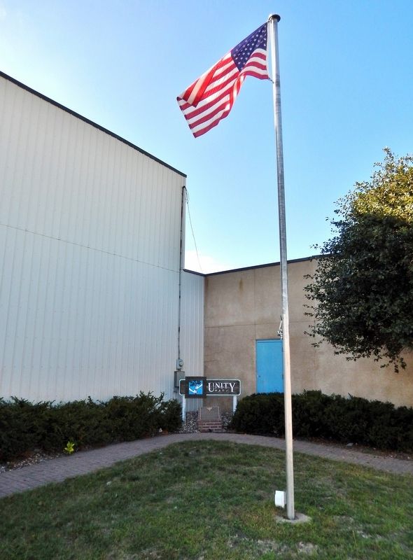
3. Unity Park Flag and Marker
Credits. This page was last revised on August 30, 2026. It was originally submitted on August 27, 2026, by Cosmos Mariner of Cape Canaveral, Florida. This page has been viewed 12 times since then. Photos: 1, 2, 3. submitted on August 30, 2026, by Cosmos Mariner of Cape Canaveral, Florida.
