Arlington Heights in Portland in Multnomah County, Oregon — The American West (Northwest)
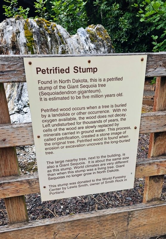
Petrified Stump
Photographed by Ian Lefkowitz, June 26, 2026
1. Petrified Stump Marker
Petrified wood occurs when a tree is buried by a landslide or other occurrence. With no oxygen available, the wood does not decay. Left undisturbed for thousands of years, the cells of the wood are slowly replaced by minerals carried in ground water. This process, called petrification, created a stone image of the original tree. Petrified wood is found when erosion or excavation uncovers the long-buried tree.
The large nearby tree, next to the building, is also a Giant Sequoia. It is about the same size as this stump. World climates are very different than when this stump was a living tree. Giant Sequoias no longer grow in North Dakota.
This stump was donated to the World Forestry Center by Lewis Smith, owner of Smith Rock in Portland.
Topics. This historical marker is listed in this topic list: Paleontology.
Location. 45° 30.658′ N, 122° 43.078′ W. Marker is in Portland, Oregon, in Multnomah County. It is in Arlington Heights.
this page online

Regionally, this marker is in Oregon’s Columbia River Gorge and in the Willamette Valley. It is also on the American Pacific Coast, in the Pacific Northwest, and in the Lewis & Clark Corridor. Globally, it is in North America, on the Ring of Fire, on the Pacific Rim, in the Western Hemisphere, in the Western World, and in the Anglosphere.
Other nearby markers. At least 8 other markers are within walking distance of this marker: Les AuCoin (about 300 feet away, measured in a direct line); Robertson Tunnel (about 300 feet away); Oregon Vietnam Veterans Living Memorial (about 300 feet away); 1959 – 1965 (about 300 feet away); a different marker also named The Robertson Tunnel (about 400 feet away); Garden of Solace (about 400 feet away); 1966 – 1967 (about 500 feet away); 1968 – 1969 (about 600 feet away). Touch for a list and map of all markers
Photographed by Ian Lefkowitz, June 26, 2026
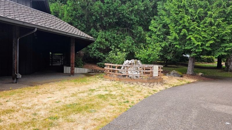
2. Petrified Stump Marker
The marker is located just north of the World Forestry Center, on its campus.
More about this marker. The marker is located on the World Forestry Center complex in Washington Park.
Also see . . . Campus Highlight: The Petrified Stump. (Submitted on August 28, 2026, by Ian Lefkowitz of New York, New York.)
Photographed by Ian Lefkowitz, June 26, 2026
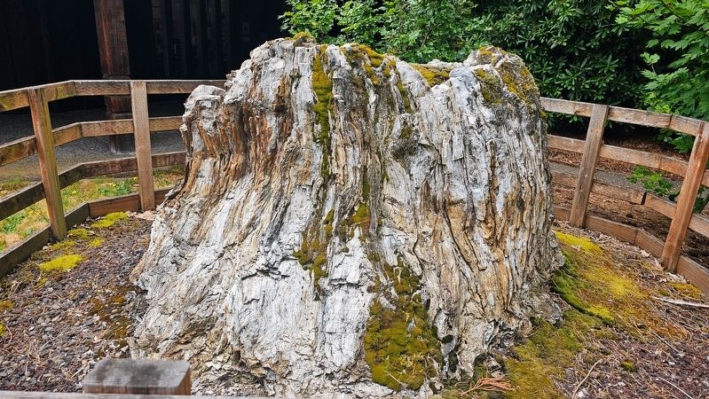
3. Petrified Stump
Photographed by Ian Lefkowitz, June 26, 2026
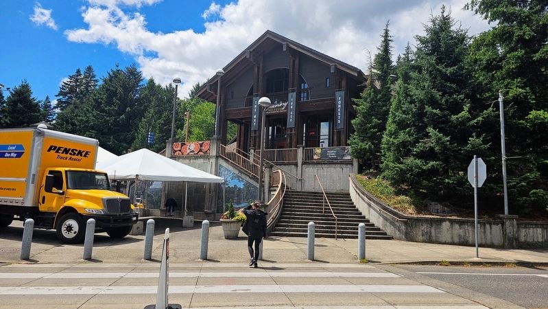
4. World Forestry Center
The Discovery Museum at the World Forestry Center in Washington Park.
Credits. This page was last revised on September 21, 2026. It was originally submitted on August 28, 2026, by Ian Lefkowitz of New York, New York. This page has been viewed 15 times since then. Photos: 1, 2, 3, 4. submitted on August 28, 2026, by Ian Lefkowitz of New York, New York. • Andrew Ruppenstein was the editor who published this page.
